Fir Canyon - Davy Brown Trail
Los Padres National Forest
Click for map.The weekend comes with an offer of led hikes by the Sierra Club for all who show up at the Bank of America at State and Hope by 9 AM, except for the occasional missed day or early meet time. (The hikes are listed here, here, or here.) I decided to take them up on the offer. Today is an early meet time because the drive out to Figueroa Mountain is a bit long, but it is not so hard to get out somewhere by 8 AM. The group numbered 10 as we headed out and still did when we got to the trailhead in the tough part of Davy Brown Campground. It is so tough, in fact, that we were asked to park in a somewhat different spot by the current occupants of the last camp site so they could use the parking area instead of the road as an exit route. They did not like their chances with the road, which was surprising considering the cavernous clearance the pickup had. We reparked and they were happy and so we could head out down the rest of the increasingly rough road to the creek where it vanishes except for one last indication in the form of a gate on the far side. We slip through it and there is clear trail ahead.


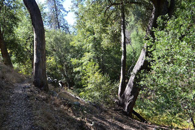
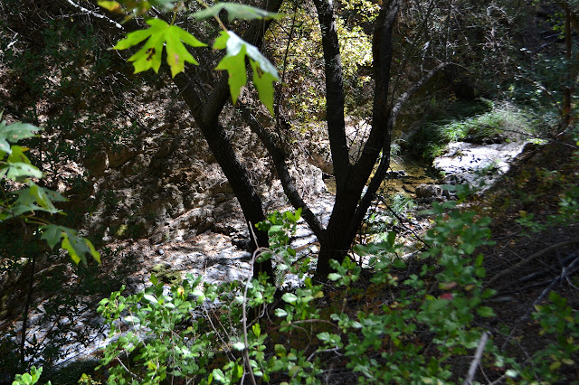
The trail is a little high on the side of the creek, so it is hard to notice what happened to the water. For a bit, it is quiet. Parched rocks are visible in one spot.
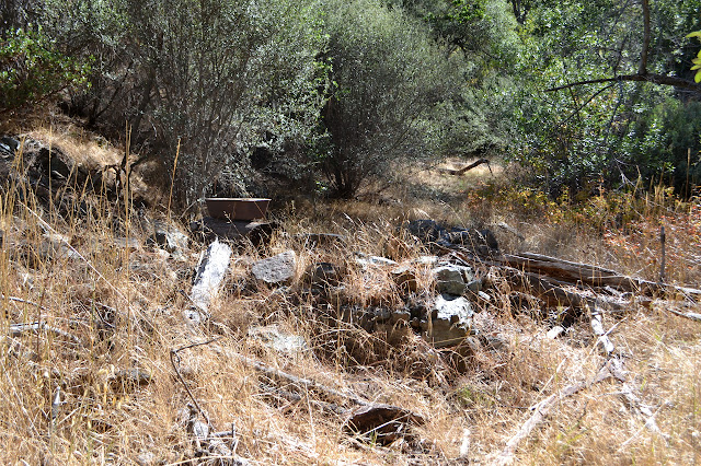
The flat with the trail widens a bit at one curve and there seems to be a kitchen sink set up on a log just off the trail. A little investigation shows an old cabin. The walls that stand free are not as certain, but the back wall is up against the hillside is quite clear. Davy Brown's cabin was, well, a cabin in living memory, but now all the wood parts have vanished.
The quiet part of the creek was short. It is flowing again as we cross over a few times. The trail splits and one is marked with a "trail" sign although both are trails. Maybe the other sign has gone missing.

At another trail junction, there is a sign about the ranger who built the trail when it was the Zaca Lake Reserve. It mentions that he also built a small cabin to patrol from. The proximity of the sign makes me wonder about the accuracy of the information about whose cabin that was downstream. The weathering reproduction of an aged photograph makes it difficult to distinguish details, but it looks like this cabin did not sit up against a little bit of hill. There is an implication that it was here, but it does not actually say that and this flat is particularly small.
We follow along narrow canyon with a thin line of water running between pools below for a while.

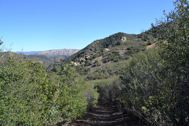
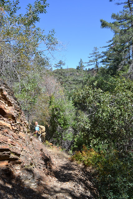
Eventually, the water thins and vanishes again. The hills dry out around us. The contrasting browns of the late summer and early fall were looking quite amazing on the drive up, so we are looking forward to the view at the top.


We turn away from the last few feet of trail to settle below some oaks for lunch. The shade is thin, but it matches our only minor need of it.


A few climb up the bald point across the road to get a bit more view. The higher and steeper climb beside the trail looks a bit attractive, too. Of course, if I did that, I would have to keep on going up the next bump until I found myself next to the fire lookout at the top of Figueroa Mountain. It is probably about a mile from here.


In time, we pack up and head down again, retracing our steps and admiring the pools.

©2017 Valerie Norton
Posted 2 October 2017
Liked this? Interesting? Click the three bars at the top left for the menu to read more or subscribe!


Comments