Posts

Showing posts from March, 2018

Grass Mountain

Image
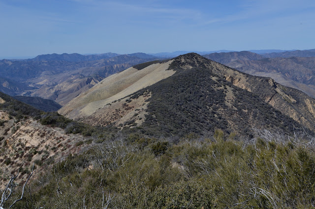
Angeles National Forest Click for map. I have been thinking I will hike Grass Mountain for a few years now. Today is the day. The trail crossing is already familiar from previous visits, but this is a new direction. Guess I will add a few more miles of PCT to my done pile, for what it is worth. It is still too early for the ~3600 through hikers starting from Mexico this year. This is northbound mile 478.2 by Halfmile's current reckoning, so it will not be quite that many when most of them turn here to find out the secret of Case de Luna down the road in Green Valley. For now, there is just one set of footsteps visible in the otherwise clean dirt of the trail ahead. A spattering of pines at my start on the PCT today. The trail will not be hidden under pine needles in another month. The trail climbs the far side of the canyon. The pines are just around the fire house and the rest is manzanita and chamise. The trail hits a utility road and I turn west along it beca...

Rocky Peak

Image
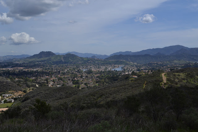
Rocky Peak Park Indian Springs Open Space Click for map. I am not entirely sure how it happened, but we finished planning the outing for yesterday with plans for today as well even though there was never any question as to where or when the other would be. It is a much smaller group today with just Scott, who was generally the instigator of plans, and Linda, who decided to hike just today. Linda brought along Milo, who should be good for sniffing out geocaches and better be a good hiker because we should come out around 10 miles again today. She says that he is. I joined up because this hike swings past Rocky Peak, which is on the Lower Peaks Committee list and has a county line marker up on top. It should be a little harder to get to than the one I nearly tripped over by Random No. 2 , but a bit easier than the one up on top of Dome Mountain . Scott has been before, Linda seems so disinterested that she forgets a peak was mentioned within seconds. Milo seems ready to get to w...

Whitehorse Canyon and Conejo Ridge

Image
South Ranch Open Space Conejo Ridge Open Space Click for map. The Conejo Open Space Conservation Agency has offered up the 2018 Open Space Challenge, asking the public to "experience" a selection of 10 of "our best trails" with a prize drawing at the end for those who do so and report it. The local geocacher community contains a few avid maintainers of COSCA trails, so they set out to complete the challenge by including each listed trail in a series of approximately 7 mile hikes and inviting geocachers at large to join them every other Sunday. The challenge runs from March 1 to May 31, so there is plenty of time. Each route was put together by the fellow who built the Ventura County Trails web site, so there is practically professional trip planning. (He is also a local geocacher. There are clues scattered around the site.) Still, looking at the suggested route superimposed on satellite imagery, it looked like we might want to have it in at least one ...

The Playground and little excursions on West Camino Cielo

Image
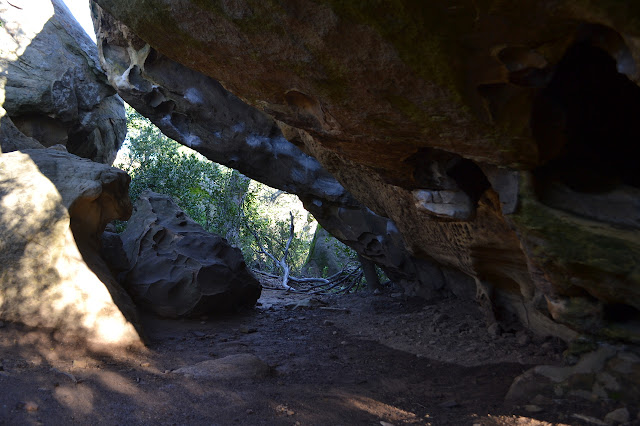
Los Padres National Forest Click for map. Next up is poking around some rocks! There are quite a few rock outcrops up on Camino Cielo, but the Playground might be the largest of them. Others are closer or offer more solitude. A random scattering are popular with climbers. The usual parking is empty as I come up. This is surprising for such a sunny day even if it is a weekday. From the parking, use trail rolls down the hill with little ups and steep downs to a cluster of oak and bay beside tall rocks full of small caves. From there, the trail splits and splits and splits again to roam over, around, and through the rocks as people have seen fit. It is quickly clear why this is the Playground. Looking down to the rocks below. One trail as it curves around the base of the rocks. A couple caves in the rocks above. I follow a track around to the right. It is large, but still seems to drift into nothing as options present themselves to climb up into this set of roc...

Goddard Campground and Picnic Area, ruins on Camino Cielo

Image
Los Padres National Forest Click for map. Something about the air on Wednesday just seemed to scream out to me, "You must come to the mountains!" Yet, as I looked to the Santa Ynez Mountains themselves, they were entirely crowned in clouds. The stunning air over everything else did not quite extend high enough. After another evening of rain, the morning air again seemed to shout of what a grand time it would be at the top of that ridge, but this time the ridge line supported it. Outside of my plans, but inside of what was possible, it took a little time to convince me, but I finally relented to the arguments and took to the mountains for some small explorations I have meant to do. The first is a pair of barricades across long decayed road, both of which have "no motor vehicles" signs and a break in the middle for walkers to pass. There is no indication of where walkers may pass to as I pull into the turn out next to the barricade, but there is a narrow and ...

Bald Mountain and Hurricane Deck

Image
Los Padres National Forest Click for map. I have been meaning to get to Bald Mountain next to Hurricane Deck for no other reason than that the USGS 7.5' quad is named for it. Of course, I checked it out for access after I camped at the top of Hurricane Deck three years ago . I sort of remember there being a spot along the way, toward the top of the deep cleft of Bald Mountain Canyon, where the brush between the grassy bald across the front of Bald Mountain and the Hurricane Deck Trail was only 20 feet thick. Or maybe 30. Or 40. But really, not all that thick. The difficulty looked like the top, which is not bald. With that in mind, I arrive at the parking for the Lower Manzana Trailhead, just short of NIRA on the road, a little after sunrise and sign into the register in the new register box at the trailhead and start on the 5 or so miles of trail before the mile or so of figuring it out. Up on Manzana Trail as it winds high above the creek to Potrero Camp with a bit ...

MYOG: tent free tent setup

Image
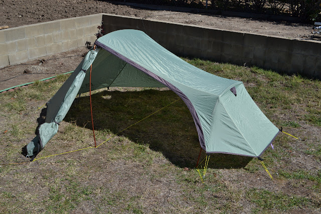
Most tents these days seem to have a "fast and light" setup with just the footprint and fly. My Eureka Flashlight copycat tent (Alps Mountaineering Mystique 2) is not one of those. As something on the "inexpensive" end of the backpacking tent spectrum and a few years old, it weighs in pretty near 4.5 pounds and nearly half of that is the tent. It turns out, it really is not that difficult to do a "fast and light" setup for this tent. (Incidentally, the only slightly changed obnoxious orange ones they sell today still do not have a "fast and light" setup. Current minimum weight is 4 lbs 9 oz.) Mildly lopsided, but that does not seem to be a problem. All set up sans tent. Required material: ~25 feet of guy line, but the more the merrier I used "yellow nylon draw cord 1/16th inch" from Outdoor Wilderness Fabrics. This is strong and has no stretch to it whatsoever. Also, quite obviously, it is nice and bright. It is suitable for us...

MYOG: bug net for sleep and wear

Image
Bug net set up to protect a cowboy camping sleeper from biting insects. This is another super simple piece of equipment. It is suitable to fair weather, but bug infested, trips as well as tarping with bugs. With spring coming, so are the bugs, so it is a timely moment to talk about it. I got it together nearly two years ago and have used it with very satisfying results on a few trips since then. I remember being particularly happy I had this along for the last night in the Flattops. Nice and airy when worn. What is needed: 2 yards mosquito netting 8 feet cord ~1 inch grosgrain For the netting, I used Nano NoSee-Um netting from Dutchware. It is 2/3 oz per square yard and 54 inches wide, which is minimal but enough. The cord is "yellow nylon draw cord 1/16 inch" from Outdoor Wilderness Fabrics. It is strong, but there is no great strength needed to hold the hiking stick in place. I tie knots rather than use tensioners. Construction: Find the center of the nett...