tamarisk in an unnamed drainage
Los Padres National Forest
I joined the crew of ForestWatch volunteers, which with the expected heat had dropped to two (including me) plus a ring leader, to play search and destroy on tamarisk. This is the dreaded "salt cedar" that was used for wind breaks and decorative plantings at one point, but is now an invasive plant that pulls extraordinary amounts of water from our small creeks and salts up the land around it until nothing else can grow while offering very poor habitat for birds. It displaces everything, so we are trying to displace it. We headed up to an unnamed drainage that is small but was full of them. Most of the removal work has already been done on past trips, but we make sure it is staying done. We hike up to a cute little water fall which is flowing ever so slightly to check that the piles of cuttings are not putting down roots. Somewhere above a spring makes this a very attractive little canyon to these tamarisk. There is a giant root ball from one that was estimated to be over 50 years old on the side of the creek. I cannot think how much work went into removing this thing, but now it is shows no green and is quite dry. Further up, a root that did not get removed is putting out feathery leaves. A few by the pool below the waterfall are not only leafing up, but flowering. With a bit of digging, these go the way of their cousins. A good pull gets rid of a couple small ones that somehow got missed before. They are much easier to pull form the dirt here than they were in the Dome Springs area. With that area finished, as far as we know, we head up above the waterfall. |
|---|
| Climbing above the waterfall, there is a bowl of land. |
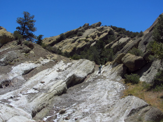
The little drainage seems huge, but it really just stretches out as much side to side as back. At the top, we find some more tamarisk to remove. There is one large piece growing, a smaller one, and a little bed of seedlings in the shade of a branch. We make quick work of these, too, then go searching a little way for more. In between, we marvel at how salty this area is even without the tamarisk working at it. Gypsum was once mined from this area and there is every chance that we are looking at some that was left.
 |
|---|
| Roaming along the rocks to have a look down another branch of the drainage. Just checking. |
 |
|---|
| Some very salty rocks. |
We return the way we came in, checking again for more feathery leaves as we go. Always a gentleman, Craig makes sure I do not miss the benchmark on the way out.
 |
|---|
| A benchmark with a name like a Division of Highways mark but placed by the (now) National Geodetic Survey. |
©2014 Valerie Norton
Posted 20 June 2014
Liked this? Interesting? Click the three bars at the top left for the menu to read more or subscribe!


Comments