Wheeler Gorge Nature Trail
Los Padres National Forest
Map link.
Wheeler Gorge also has a small nature trail. It starts on the west side of the highway next to the campground. A large sign shows a map, including where interpretive signs will be and has a small bin to hold informational brochures. There are none in it now and it looks like that has been the case for while as other items have been placed inside. There also does not seem to be a link to download one on the forest web site for the trail so that the prepared can arrive with a copy of their own. It immediately dives under the nearby bridge over the north fork of Matilija Creek (not to be confused with the upper north fork). The bridge is low enough that one needs to duck to pass. I am already dodging poison oak leaves reaching out onto the trail when I arrive at marker #1, poison oak. There is a picture of the leaves and it seems a good place to start, perhaps even already too late. Marker #2, white alder, is placed high on the side of the creek and somewhat orphaned from the alder down in the creek bed, and then the trail crosses the creek.
 |
|---|
| The north fork of Matilija Creek with a nice little flow still. |
At the far side of the creek, the trail splits and the spot could do with a sign to help those coming back from the other side to know when they have not quite got to the junction again. Keep right to keep the numbers in order and continue in the shade under the stream fed trees. A few trails go off to the side, including one that passes a sign board of the sort usually at the start of trails with campgrounds along them. There is nothing but a couple narrow and deep swimming holes behind it. A couple flags along the creek might be part of monitoring water height along the creek, which a sign under the bridge alluded to.
 |
|---|
| Off in the trees well off the side of the trail, a sign board informs me there are to be no fires in the backcountry, among other things. |
 |
|---|
| More shaded creek. A little orange flag is at the center, one of a few along the creek for someone's study. |
 |
|---|
| A couple swimming holes like bathtubs in the shade. |
Quickly, the trail finished introducing the hiker to edible and useful plants that can be found along a stream and climbs up out of the trees into the chaparral. I emerge into the sun as the trail tops out and it is abundantly clear why the loop prefers this direction with all climbing in the shade. There is almost a view of the surrounding countyside from the top of the little hill.
 |
|---|
| Looking south over the trees that were a nice source of shade, the Nordhoff tower is just visible. |
 |
|---|
| One of the interpretive signs along the trail with its subject behind it. |
 |
|---|
| Trail headed back down to the valley with the highway winding upward in the background. |
The trail descends among the shrubs and a couple of the signs are getting a little hidden along this section.
 |
|---|
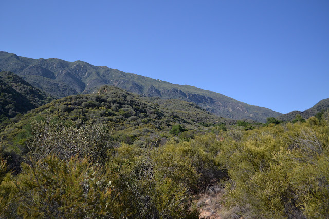
| Dry Lakes Ridge looming high on the side as the trail descends. |
 |
|---|
| A bush monkey flower at the edge of the trail. Not identified by any of the interpretive signs. |
The trail passes a side spur with steps to a parking area on the east side of the highway and climbs down to the side of the creek again to complete the loop. A few early trails lead back down to the creek a little bit too early to connect and none go down after suggesting that people worry they have missed the intersection but do not actually miss it if they go far enough. I find myself quite surprised at the variety of terrain that has been squeezed into a little hike of only three quarters of a mile.
©2014 Valerie Norton
Posted 9 June 2014
Liked this? Interesting? Click the three bars at the top left for the menu to read more or subscribe!


Comments