Redrock Spring
Humboldt-Toiyabe National Forest
Click for map.I woke up under a blanket of snow and thought it had stopped, but after knocking it off the top of the tent so it would not drop in when the fly was unzipped, I heard the soft and determined stomping of snowflakes landing. I decided it was probably time to move along. The snow was sufficiently determined to cover things in a minute or so, but once the car was warm enough that the flakes hitting the windshield melted, it was not even enough water to run the windshield wipers once in a while. I came around the long way to Ellison Creek and the old guard station. The rather good "unimproved" road deteriorates at the forest boundary. There are more ruins of stone buildings along the way beside the creek. It was still snowing, so I turned toward White River, which is lower in elevation. Not much further, there is a sign with actual words on it for a place just a mile away. I decided to see what deserves an actual sign. Since most little roads are rather rough, I decided to stretch my legs a bit while I did.

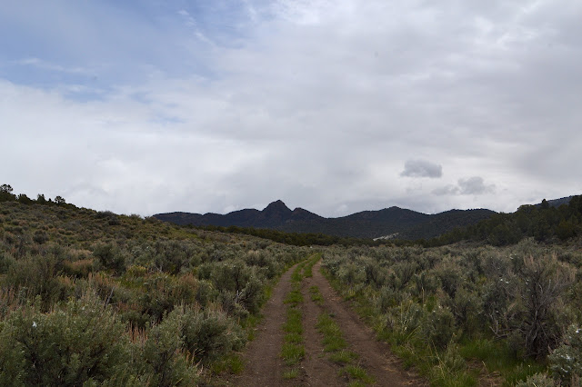
The road is smooth with little rut as it passes by empty troughs set out for cows. The cows are not yet here to graze. I could probably have driven it to about 200 feet short of the end where there is a campsite.

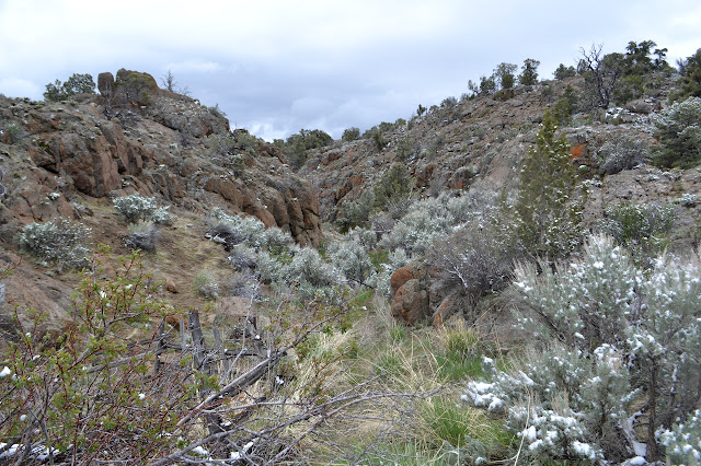
Past the campsite, the road has some deep dips and a slight parking area at the confluence of two dry washes. There is clearly no spring. Thin trail goes to the right and thick trail to the left, so I follow left. There is some pipe rubbish along the way. This climbs up toward and then into some red rocks. That seems appropriate given the name.


Down in the canyon, there are spots fenced from the cattle, which is commonly done at a spring source. I decide to save the spring for later and have a nice, warming climb to the top of the rocks. It is no real peak, but will give a better view.


The little bit of height does give a bit more view. With the newest layering effort passed by, visibility improves a bit too.


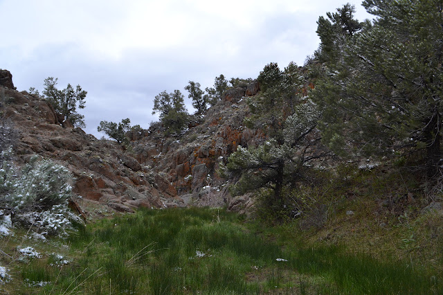
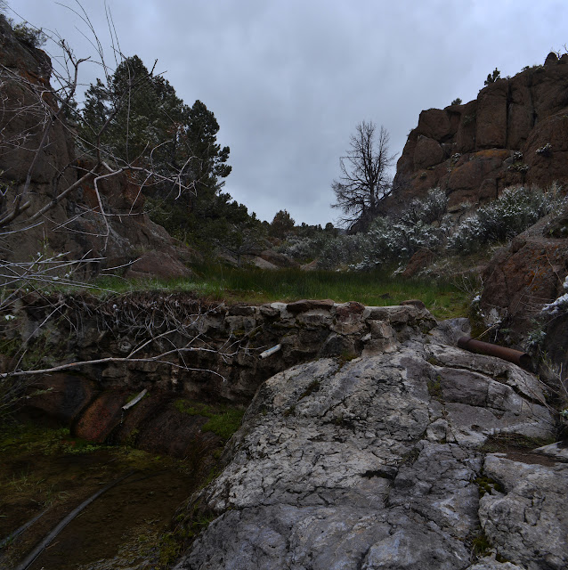
I follow the gentle slope down the back to hook in with where a track continues up the valley, then turn back to see the canyon from within. It is narrow and more fencing prevents some movement through it. There does not seem to be much indication of spring above it, but once the fences start, there does seem to be some different vegetation.


There is a path through the canyon, but it does require some slight climbing to get all the way through.
Out the other end of the canyon, there is a little trail back up to the wide track I started on. Some dirt is loose along the way, but gives me little difficulty in getting back to the main trail. Snow is falling as I start back, but there is a hint of coming sun as I get back to the car.

©2017 Valerie Norton
Posted 5 June 2017
Liked this? Interesting? Click the three bars at the top left for the menu to read more or subscribe!


Comments