Posts

Showing posts from March, 2019

Timmy backpacking: Round the Mountain

Image
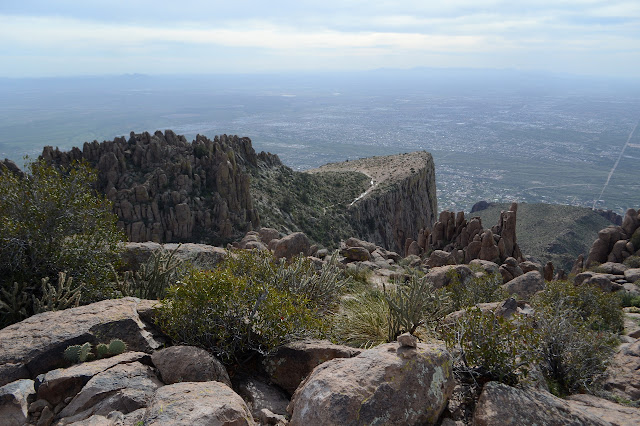
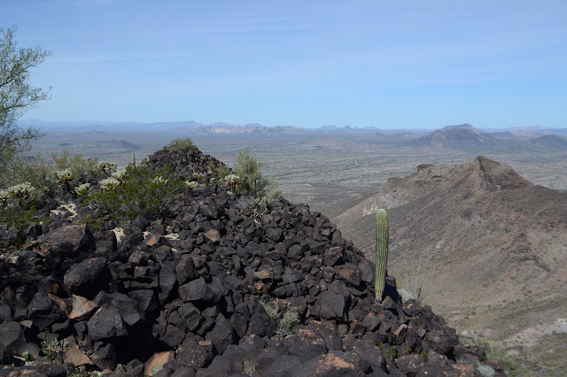
Coronado National Forest Click for map. I want to go up Mount Graham and I want to do it right with some climb involved. It has 6300 feet of prominence, after all, and one should honor that. The sign at Round the Mountain Trailhead, the old summer CCC camp, says 17 miles to Columbine, the old winter CCC camp. I want to break off just short of that to take Deadman Highline Trail further up and across to finish coming down Noon Creek Ridge. I figure it for about 35 miles, which is too much for a day. That means Timmy, the cat, has to come with me, with all his limitations. He did a 5 mile day, hopefully he can do 7 mile days. That really slows me down to 5 days from probably 3 days. The big beautiful new kiosk at the trail says food has to be in the car or hanging in trees. I expect the bear canister is also okay and there do not look to be too many trees suitable for hanging food even where it hasn't burned, so that has to come. Oh, and there is snow up there and I got me

Ladybug Peak

Image
Coronado National Forest Click for map. Well, I said quite some time back that I was going to Coronado National Forest and now I finally got to a little bit of it. I saw it for all its high prominence peaks. It is a forest made of many separate pieces centered on "sky islands", mountains that stick up significantly from the surrounding terrain such that the tops have vastly different (and often unique, like islands) flora and fauna. It's a more poetic way of saying the same thing. This particular sky island is the Pinaleno Mountains and the high point, Mount Graham, stands over 10k feet on a desert floor of about 4k feet. I figure a good get-to-know-the-place hike will be the Ladybug Trail. It runs through a bit of elevation without getting into too much snow, will let me get a better look at the higher elevations, and there is even a peak to grab at the end. Also, unlike a few other trails in the area, most of it didn't just burn in the 2017 Frye Fire.

Dome Mountain - Goldfield Mountains high point

Image
Tonto National Forest Click for map. I don't want to neglect the Goldfield Mountains simply because they have not been designated wilderness. I can see approximately two named peaks in an area that should have a lot more, so it looks like they have been neglected enough. There is one showing many layers that has caught my eye. It gets the sun long before a lot of what is east of it, so it must be quite high up. I want to go up that one. Maybe it is Dome Mountain, the high point of the Goldfields. It doesn't seem to be in quite the right direction, but I'll go for that one. If it's the one, great. If not, I'll still be on a worthy peak. To enter the area with a vehicle, one needs to pick up a free Bulldog Canyon permit from the Mesa Ranger Station, but since this is a 4WD area, I'll just use one of the many parking spaces outside the gate and walk in. One of a few gates into the Bulldog Canyon area of the Goldfield Mountains with a fellow dueling th

Hackberry Spring and Hackberry Mesa

Image
Tonto National Forest Click for map. I had thought I might try this loop backpacking with the cat, staying near the spring, but it is just so short (as a shakedown trip should be) and that would preclude the possibility of finding a way up Hackberry Mesa and it really is just easier to day hike, so the excuses mounted and Timmy had to stay behind again. The weather man says there will only be a 4 hour break from solid clouds starting at 7AM, so I got moving early enough to enjoy some golden hour light. Since the trail is so short, I decided to just walk the mile rather than drive the 4 miles to get to the start. Across the way are the Goldfield Mountains bathing in the golden morning light. Hackberry Spring trail starts at the horse parking for First Water. There are bathrooms, no camping, and the Tonto Pass is not required for the abundant parking. There are a few cars already including one with backpackers getting their gear together. The trail is signed at the nort

Hieroglyphics Trail

Image
Tonto National Forest Click for map. The Hieroglyphics Trail caught my eye while looking over the map for my previous visit to the Superstition Wilderness . Nothing happened with it then, but it will now. There is actually a way up to the high point of the same ridge I was on a few days ago along unmaintained use trails, but I am only looking for an evening hike to the spring today. Parking is available 5AM to 10PM after which cars might get towed, so I guess no overnight trips can start from here. Signs at the trailhead talk about the history of the trail and how the community has managed to get it where there was once access only by trespassing, but nothing about preservation of the petroglyphs (they are not known to actually be hieroglyphics) from careless visitation even though they are the destination of the official trail. Both the Hieroglyphics Trail and the western section of Jacob's Crosscut start here. Information is directed at the second. So through the

The Flatiron and above via Treasure Loop and Siphon Draw

Image
Tonto National Forest Click for map. Ah, the Superstition Mountains. They really are a jewel of the state and right now they seem quite green. Of course, I'm out to get up into them and around here, they actually have trails. The one I am after is a non-system, unmaintained trail, but it will still be a nice change to be on even that much trail. Entries exist north and south of the Lost Dutchman State Park as well as within, but it seems silly to pay $7 to go in and then walk right back out again. I'm starting at the north end at the first lot on the road to First Water although the closest is at the south end. It's only 6 miles up and down, according to the information for the geocache at the top, so this gives me a little more area to explore. On trail! Cholla can still be a problem when on trail, but not all that often. Oh, the delight of being on trail. Southward to the Superstition Mountains. Siphon Draw goes right up the middle between the rock faces.

Cortez Peak

Image
Gila Bend Mountains, BLM Click for map. Cortez Peak stands out for its plainness to my eye, but I remind myself that when I'm on it, I'll be looking at all the other peaks. It's one of the higher ones of the area, besides Woolsey which is so much higher than the rest. It looks like it might have less cholla on it. With the distinctly different look, it could have different geology, different soils, and just not support so many of the things. Or it's just the fact that it's about three miles away and rather hard to tell at that distance. The route the surveyors took to place a benchmark at the top swings way back around Fourth of July Butte and then climbs up from a mining area on the northeast side of the mountain. I am sure that road and my car wouldn't mix well, so will walk the animal superhighways to the base and then up a spot that looks inviting on the map. I'll use the Yellow Medicine Wash for my approach and Loudermilk Wash on the way back

Yellow Medicine Butte

Image
Gila Bend Mountains, BLM Click for map. Yellow Mesa Butte isn't much, but it catches the eye a bit in the afternoon and evening light. I decided to go up it, it's little pointed peak to the east, and then off to Saddle benchmark further to the east. There is a bit of cliff on the north end and around the sides, all of it guarded by cholla, but I figure I can wander up a big wash along the west side to the south and take what looks like a bit of a ramp on up to the top. That's the general plan anyway. Oh, and I got some higher resolution mapping for the area. Yellow Medicine Butte in the morning light isn't quite so nice. There are a couple washes along the way to starting around the mountain and there will be a couple on it. They tend not to be quite so deep on the mountain, but the ones cutting through the desert here often have nice walls on them. When they also have hard rock bottoms, they can hold small pools of water and one small one has just that

Face Mountain and Montezuma Head

Image
Gila Bend Mountains, BLM Click for map. There is nothing special about Face Mountain. It is just another bump popping out of the landscape. It does, just barely, reach the status of 1000 feet of prominence, but all the bumps in the area seem to hover around that except for Woolsey off in the east which doubles it. But it does have a cool feature. Sticking out of the side of it is the Montezuma Head. Face Mountain, a little difficult to see off into the sun, has a north peak and a south peak and the Montezuma Head. Lots of little hills popping out of the plains. I found an area with a pair of roads into it that was impacted by camping right around the where I thought would be a good take off to go out and climb Face Mountain, so that makes easy parking. I did have to check the roads before driving one. One of them is less than ideal for a low vehicle. It continues past the camping area toward the mountain, so my start is along it. It doesn't get far before joi

follow by email