Hieroglyphics Trail
Tonto National Forest
Click for map.
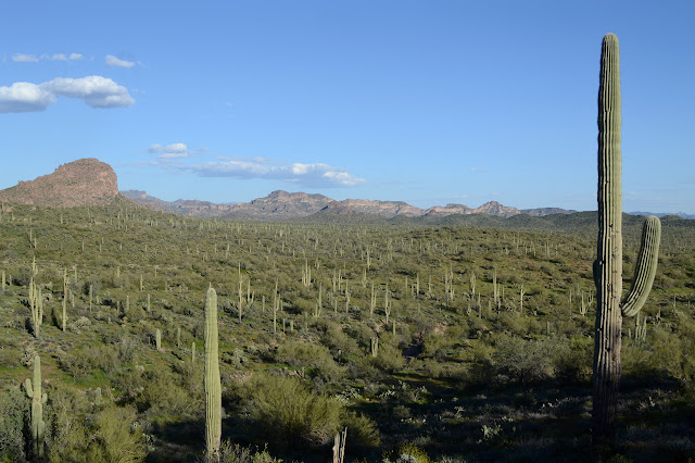
The Hieroglyphics Trail caught my eye while looking over the map for my previous visit to the Superstition Wilderness. Nothing happened with it then, but it will now. There is actually a way up to the high point of the same ridge I was on a few days ago along unmaintained use trails, but I am only looking for an evening hike to the spring today. Parking is available 5AM to 10PM after which cars might get towed, so I guess no overnight trips can start from here. Signs at the trailhead talk about the history of the trail and how the community has managed to get it where there was once access only by trespassing, but nothing about preservation of the petroglyphs (they are not known to actually be hieroglyphics) from careless visitation even though they are the destination of the official trail.

So through the cattle gate and up the hill I go to the well signed junction. I feel a little bit of familiarity about the hills to the east although I was looking at them from quite a different angle before. The trail climbs a little higher after taking the left and there is another cattle gate at the wilderness boundary. At least there should be no cattle spending the day rubbing at the petroglyphs.
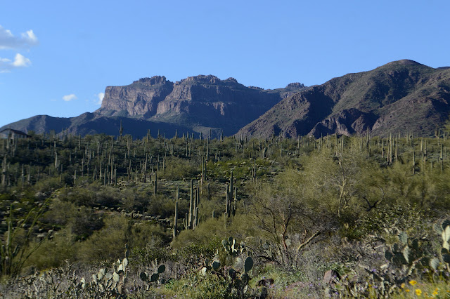


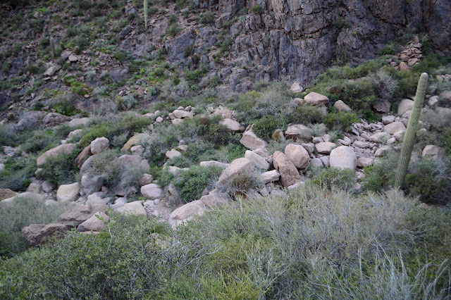
The rocks are picturesque even without "hieroglyphics" decorating them and the wildflowers are out and about. Coreopsis and blue dicks seem to be the majority, but there are many others. Once just a little into the sheltering walls of the canyon, the vegetation changes and cat claw starts up. The large maintained trail leaves no danger from it or cactus.


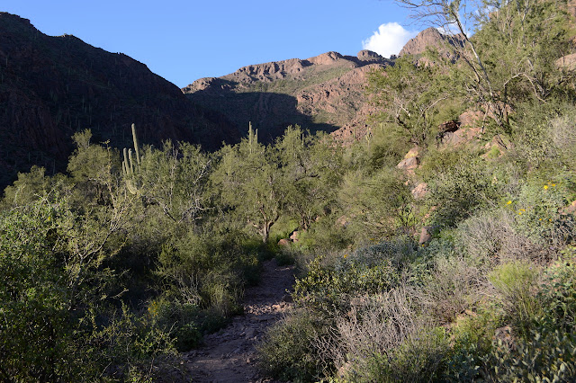
I can hear water flowing and it even seems like a lot. The trail wraps around a big rock with six mortar holes, then climbs up and vanishes into some rocks. A beautiful stream flows through the rocks and the "hieroglyphics" are visible on many of the surfaces across it. There is quite a lot of it, and still not one word about maybe not climbing over them or adding your own.


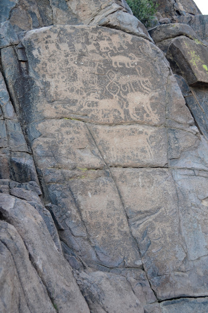
The petroglyphs seem to be on every surface now washed by the creek on the far side and there are a few more on the near side. I find I have to examine each rock carefully before stepping on it. There are a few I might have missed and stepped on otherwise, especially on the near side where they are less expected.

The spring is supposed to be another 800 feet or so up the canyon, so not all that far. Trail after the petroglyphs is thin and marked by cairns and numerous. I pick one that seems to be staying out of the stream, mostly. Maybe that isn't quite the right choice for trying to find the spring, but it keeps my feet dry. Actually, it is quite high as I pass where the spring is marked on the map and the sound of water has already become distinctly behind me and fading. It must be the one going for the high point. There are some thinner trails climbing up from the creek from time to time, so I take one of them back down to the nearly dry bed. There is certainly no sign of the sort of flow that lies below here.
Working my way down in the stream bed, there is a first a stagnant pool, then a sudden flow of water. It seems to grow quickly over about 10 feet of the stream bed before gaining the glory of the flow seen a short way below. This is a great spring that matches the gusto of Charlebois Spring. No wonder folks lived here and marked the rocks with their everyday activity and their art long ago. Now I wonder what I missed when I visited Charlebois.
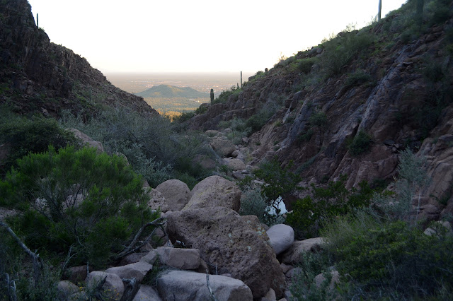

I continue to make my way down the channel, now full of water. It is only a little more challenging as it was in the dry channel and now it seems to be an endless series of beautiful pools.


Once back to the petroglyphs, I carefully select a route up onto the rock slab where the trail ends to take it back. The sun is setting, a near full moon is rising, and the lights of Gold Canyon are starting to shine. There are a few others out on the trail still, but they too are heading back.


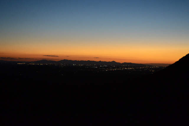
*photo album*
©2019 Valerie Norton
Written 27 March 2019
Liked this? Interesting? Click the three bars at the top left for the menu to read more or subscribe!


Comments