Beith Creek Loop
Arcata Community Forest
Click for map.
Out for a quick loop hike while there is clear air and patches of sun. Oh, and the threat of rain. In fact, it is actually sprinkling a little as I start, but I have my rain coat and the trees will probably put an end to most the thin drops. Sure, they'll replace them with big drips, but it takes a lot of thin drops to make a big drip.
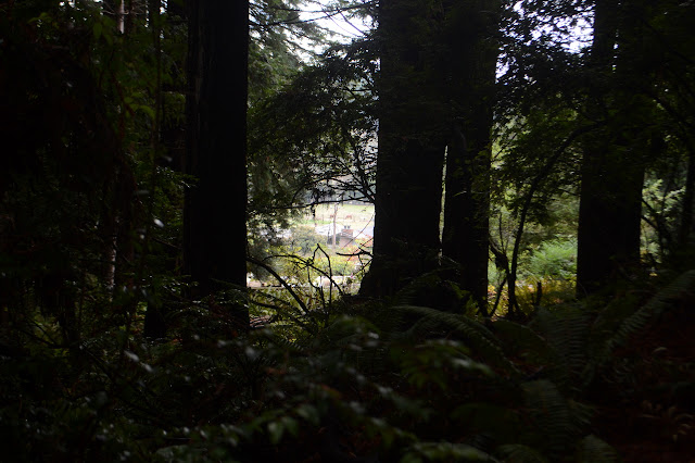

I know there are some spots up high to look out to Humboldt Bay, so power up the road to the top so that the weather has the least amount of time to fill in the air with rain or mist. Of course, the weather doesn't need more than a few minutes and it takes me longer to get to the top.


After the mystery doorway to a piece of downhill only trail, the road vanishes briefly, so I have to grab the far more gentle trail for a few feet until it hits yet another old road. Swing to the right and I am ready to start the loop going downhill. The weather has darkened and cleared a bit in the time it took me to get to the top. I really doesn't need much time for any change.


Following the old road as it shrinks down to a trail requires only minimal dodging of inattentive cell phone users and banana slugs. The creeks along it are small and easy to cross, but I remember one of them being quite large at the lower crossing. I'll cross that when I come to it, as it were. The person coming the other way seems like a good sign anyway.

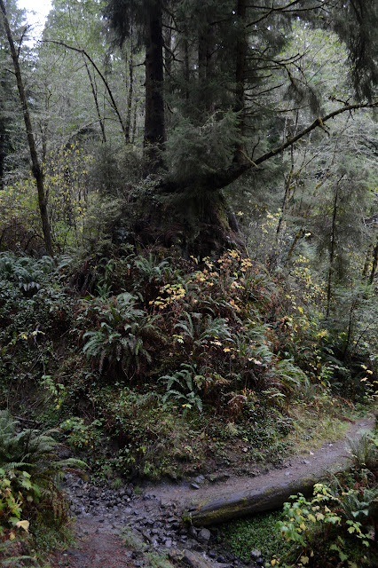

As the trail turns downward, it gets a little bit steep following a ridge line. There seem to be ribbons out and even the start of some trails forming that go around the steep section, but it still has fallen trees across the paths. Small ones for the area, but still big enough.


There has not been much rain in the season yet and the creek crossings along the lower section of the trail are still small. Beside one is a significant bit of use trail. It is a little steep, but the footing seems good to climb it and find what the people are out to see. A big rock that overhangs a sitting area and wears trees and ferns for hair awaits above.

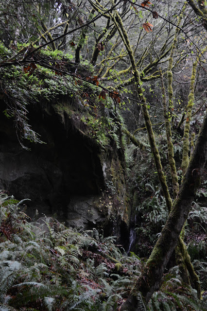
Beneath the rock, it sounds like the rain might be starting in earnest, but I can see no other signs of it. The sounds of the creek echo through it well, so it must be my misinterpretation of those sounds. After a while, I head down and out again. It is still not raining.
©2018 Valerie Norton
Posted 5 December 2018
Liked this? Interesting? Click the three bars at the top left for the menu to read more or subscribe!


Comments