Posts

Showing posts from March, 2024

Tidytips on Manila and Samoa Dunes
Image
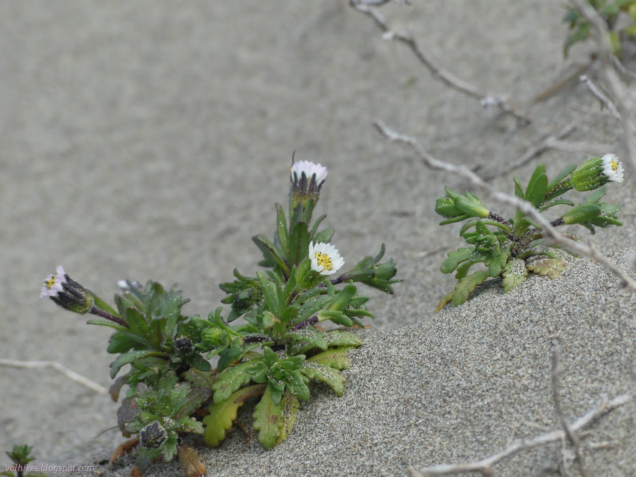
Humboldt Coastal Nature Center Manila Dunes Recreation Area Samoa Dunes and Wetlands Conservation Area Click for full screen map The dunes are about to explode with bright flowers. It's getting some start now, particularly showing off a few of the endemic and endangered flowers. I've shown off the Humboldt Bay (Menzie's) wallflowers before. This time I was out to find some beach Layia, also known as beach tidytips. (Blooming, this time. Not just leaf clusters like I saw on the Hikshari' sand spit !) I started at the Humboldt Coastal Nature Center and headed for the high dunes. It's been a while since I spent some time on these highest of places in an area entirely built of whatever the ocean tosses up. Besides, the Wildberries Trail was flooded recently. The Humboldt Coastal Nature Center is a striking building. Stop inside for all kinds of information and there are bathrooms and bicycle parking to the left. The trail over the high dunes starts on the ...

Ryan Creek and Slough

Image
McKay Community Forest I wanted to have a hike in the McKay Community Forest focusing on those pieces that are actually within it at the north end. There would be no crossing over the creek to the easements on the McKay Tract. There would be an attempt to follow routes all the way to Park Street along the far north sliver of forest north of Myrtle Avenue. Most enjoyably, there would be wanderings of the trail system that's marked and somewhat rocked under the trees wrapping around the Redwood Acres Fairgrounds. There might be a jaunt off along the other edge to a geocache that had given me troubles before. Trail or road? At the north entry to McKay Community Forest. Left is the forest, right is private property. Parking for north end of the forest is simply parallel along the side of Harris Street. There's thoughts of a lot at the fairgrounds, but that has not been secured yet. My plan was to start along the old roads, following the R-line to R-2, then continue besid...

McKinleyville Community Forest

Image
McKinleyville City Park ( map link ) McKinleyville closed escrow on their 599 acre community forest on 31 January and McKinleyville Community Services District, in whose hands that ownership and operation now resides, says the public may come and walk and ride bikes and probably even a horses. (Someone certainly has given it a try.) There are two undeveloped entry points along Murry Road to use for this access and other entry points are planned. They add that the Green Diamond Resource Company lands to the east of the forest are still closed to the public. I spent a little time with OpenStreetMap, a Strava heat map overlay, and their printable georeferenced pdf map to determine (and mark) what, exactly, was open and what was not. I also spent some time with the McKinleyville Community Forest Framework Plan and wasn't exactly sure what to expect. A little disturbing is that Green Diamond apparently went and logged three big chunks of this land between when they approached ...

Beith Creek Loop

Image
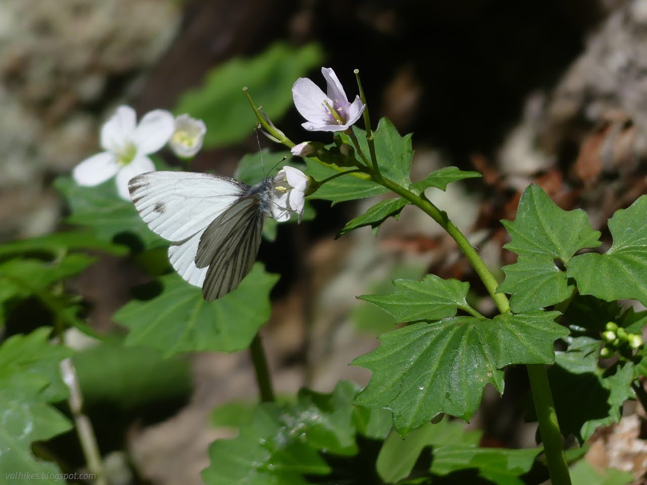
Arcata Community Forest ( map link ) I decided it was time to take a lap with the camera to show off the flowers. They start in January, some of them only having taken a few months off. They haven't seemed all that thick yet. I started at the big entry on Margaret Lane. A map and some rules on entering under the 2nd growth redwoods. Follow the trail past a diversity of green. Passing tall redwood trees with thick, fibrous bark. There's not usually banana slugs hiding in the cracks, but today there is. Where the loop starts, one may choose a bit of a warm-up stretch with little ups and downs or head for a steady climb instead. I turned right for the first. One of the more ephemeral water flows in the forest. There's a couple segments of trail that are thickly lined with milkmaids .

Hikshari' Trail extension and Eureka Marsh

Image
Eureka City Parks ( map link ) With a second day of sunshine, I decided to check out the trail extension along what will, one day, be a complete Humboldt Bay Trail. This bit has been referred to as the Hikshari' Trail extension or the Bay Trail extension. It's a piece of the Great Redwood Trail where the California Coast Trail follows along. Specifically, it is a mile of paved multiuse trail running between the breaking waves coming in through the bay opening and restored salt marsh. Since it is only a mile of trail, I planned on seeing a bit more and actually started at some parking at the Bayshore Mall for the Eureka Waterfront Trail. There's supposed to be trail parking somewhere around the mall, and I believe I saw it marked once near the oil pier at the other end of the long line of unused spaces where I parked. I got a spot next to a short gravel connecting trail and turned south toward the extension. This is paved multiuse trail with occasional rest points a...

Me'tsko River and Beach and Dunes

Image
Clam Beach County Park Little River State Beach ( map link ) I decided the place I wanted to go for this window of sunshine between the rain was Little River State Beach, which I previously visited on an even sunnier June day full of flowers . There aren't quite so many flowers as March starts. It's not very big, so I decided I should take in some of the county's Clam Beach to the south and Moonstone Beach to the north. The tide would be out late in the afternoon, so I left the areas with cliffs for late. I started in the county's North Lot, which was quite busy at one end and flooded at the other. Lots of dogs out, but all but one with obedient people leashing them. North of the lot is Little River State Beach which only allows dogs leashed on the waveslope. They take their position as critical snowy plover habitat seriously and loose dogs are huge threat to the ground nesting birds. Plenty of parking under the bluffs at the beach. There's trail around ...