Moorman Ridge
Humboldt-Toiyabe National Forest
Click for map.The Shellback Wilderness has no trails, but it does have a couple spots where it wraps around dirt roads. The longest of these comes in from the north end. The map seems to indicate that it comes off the west end of a frontage road that might be called Old Lincoln Highway. Coming down from the summit, I could see the road stretching south down the wide valley, but no obvious road. For a second try, I turned into the little paved circle of an NDOT outpost. A dirt road curved off the edge of it and two tracks cross Illipah Creek off the edge of that. I wanted to make my way a little way down this dirt road for parking, but the road does turn 4WD in about four feet. I could have just straddled the big holes by the creek crossing through a culvert, but with the weather changing the whole thing just put me in mind of when I just had to park all the way at the edge of a turnout rather than merely off the road leading to the only time I have been stranded on a 4WD road with my baby car. I pulled off into the short weeds next to the junction instead. This part, too, seems to be part of the NDOT area and they might find my spot suspicious, but it seems unlikely they will notice.

The road is smooth enough after the crossing. The cowboy fence once had a cheat on it for pulling it tight, but it broke long ago. The forest boundary is soon after the gate, but there is no indication of it until a wilderness marker on a track someone might think would be fun to drive. It does not look like anyone actually has. There are a couple distinct and old tire tracks on the road, so it does get some use.
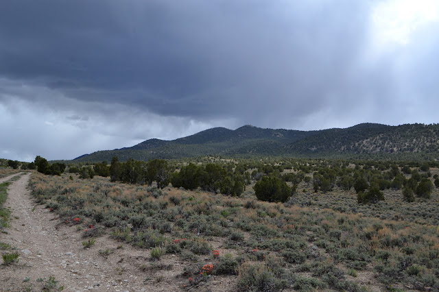


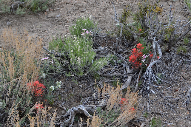
There are a few flowers along the way, but not many. The area creek is just a dry channel with a sandy bottom. The threatening rain starts up. It is not hard, but it is chilly and sometimes windy. It would be a good idea not to get wet, so I pull out my rain coat quickly.


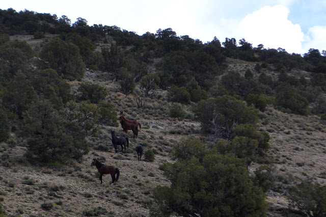
A brown head pops up in the sage brush. Tall with high ears and long nose giving their attention to me. It is a horse and more are drinking by a pool from a piped spring. My map says wild horses can be found on the west slopes of Pine Mountain Wilderness and are not as common here. They could be ranged horses. Some people do that and they would not be the first ones I have seen. Ranged horses would usually have halters, but perhaps they are why the gate was closed. There is still a lot of old evidence from cows. They run up the hill briefly, then watch me a while before jogging up a little further.

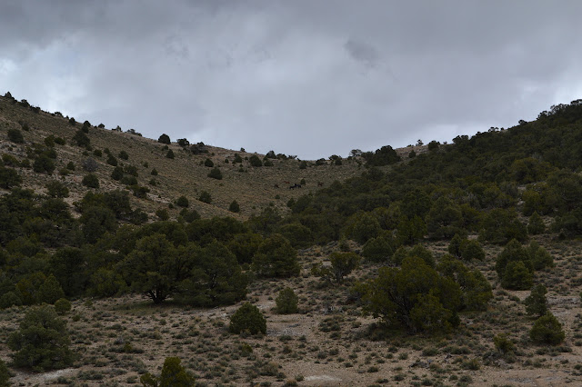
I keep moving up the road. It seems to have a history of moving as well. One spot looks like it was old road but now has a fire ring on it. The road now cuts the curve a little higher on the hill.


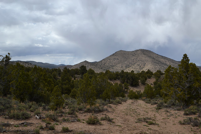
The road suddenly drops through a tight little creek. On the other side, the tracks go up a little way and search around for something more before turning around. I have come to the end more than half a mile short of when I expect. The road is supposed to get a short way over a short saddle where I might finally have no more highway noise. The signs out on US-50 may say "Loneliest Highway in America", but there seems to be someone by every 5-10 minutes and I can still generally hear them a little as they go by. There must have been a wrong turn somewhere. It was probably where things should have crossed the "creek".


Of course, my hike does not have to end with the road. My only thoughts on the matter were to maybe climb to the high point on the ridge before returning. The dreary, rainy, blustery weather makes it an unattractive prospect. The clouds are not so low, but I turn back to explore down a road offshoot I saw not too far back. It is undoubtedly illegal, but fine for me to be on on foot.

The illegal road doubles back toward the legal road. Most turn around as it generally comes to an end, but some have managed a sidehill maneuver down past an old trough to get back next to another wilderness marker.

Once back to the main road, I follow it back to the car. It looks like no one was bothered by my parking space as expected.
©2017 Valerie Norton
Posted 29 May 2017
Liked this? Interesting? Click the three bars at the top left for the menu to read more or subscribe!


Comments