Toquima Cave
Humboldt-Toiyabe National Forest
Click for map.A sign pointing down a long dirt road had the word "cave" on it, so I turned down it. Another historical marker beside it elaborated that the cave up ahead was small, but would contain pictographs and was located "East of the summit, north of the highway," whatever exactly that might mean. FS-001 probably is not considered a highway by many, but the long, straight, flat section across the Big Smoky Valley does allow some pretty fast speeds on the dirt. The roads marked "hot springs" on the way were tempting, but I managed to keep to the road for the cave. There were no other indications of it, but when I got to the summit, there was a handy campground on the north side. That was certainly handy just when I needed one, so I turned in. A short way in is a little "trail" sign and a big information sign for Toquima Cave. The trail drifts off east and north from the summit, just as indicated on the sign below.

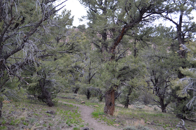
The trail is advertised as only a quarter mile long. It is ever so slightly longer, but pretty flat right up to the last few hundred feet. A rock outcrop emerges from the trees and then there are some nice steps to climb up around some of the rock.


Around the rock, the steps get steeper as the well protected cave comes into view. It is not surprising with a publicized cave.


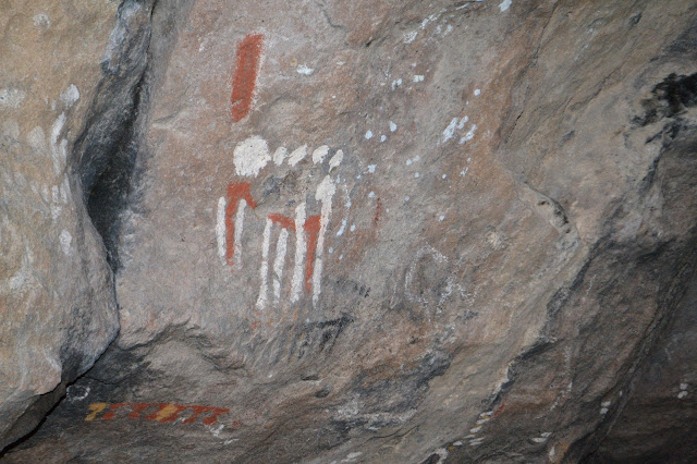
I almost miss the last set of steps up since people have laid down some heavy trails while exploring around the rocks. They are probably looking for more that they can get closer to. I choose to just take in what is offered. I have been closer to such things before anyway.


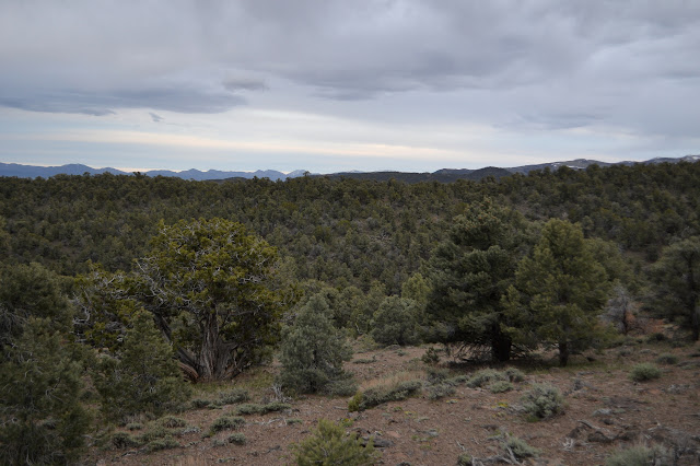
After looking a bit, it is time to head the short way back and get camp together. This time I can notice that there actually are a few spots to look out over the mountains to the south and east.


In the morning, I did go ahead and check out the hot spring area on the way back. There are a few big, deep pools around the area. Particularly hot spots are boxed away in tough cages that it is even hard to see into. The water in the one pool I felt in the cold morning air seemed a little warm for my liking, which probably puts it in a very popular temperature range. There are plenty of users (to the point of being very nearly crowded) and the water is, well, a little oily. Rather typical of easy to reach hot springs.

©2017 Valerie Norton
Posted 26 May 2017
Liked this? Interesting? Click the three bars at the top left for the menu to read more or subscribe!


Comments