Agua Tibia: Dripping Springs
Cleveland National Forest
Click for map.
DAY 1 | DAY 2 | DAY 3
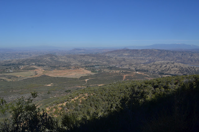
Morning is lovely. At least it is as I wander over to the first spot of a northerly view while getting breakfast ready. There is not much long view from the camp site. There is a mist playing in the valleys, especially around the tall mountains. Thomas Mountain is no longer producing a streak on the sky because they have put out the controlled burn for the weekend. I pack up and head out for some more expansive views as the mist slowly rises.

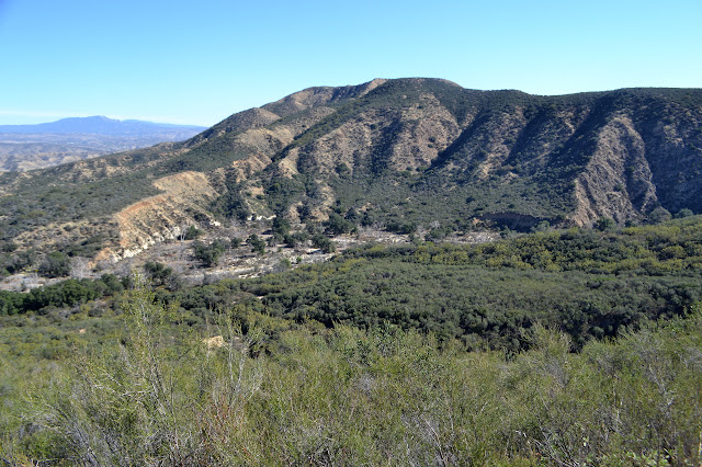
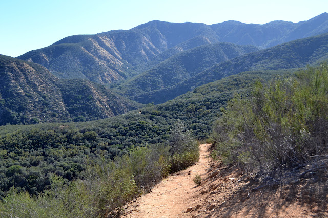
The trail is still a little brushy, but not so imposing that it forces a stooped walk or anything like that. Everything from the southerly viewpoint, up past the junction sign, on down is clearly hiked a lot more than the trail above that. The few bits of brushy open up further as I go down, especially as things dry out.


As it gets a bit too sunny, there are bushes for shade. The redshank, or ribbonwood, and a few other things offer it although not very completely. One bush with chains of flowers is particularly popular with the local bees. I start meeting people and a few even ask about the state of the trail. A couple even have some trimming tools hidden away. I say it is clear enough for travel, but every little clip helps, and show off my lined arms. I really got the scratches going up the peaks, for the most part, but the trail was capable of similar treatment and I do not feel like I am being misleading.


The bushes do not last and I continue down in the sun and chemise. There are more and more people coming up, but they look less and less prepared for a long hike. The sun is starting to get a little too blazing for climbing, but still there are more people. This part of the trail have had some recent tread work which involved building a channel on the inside for water to flow along before taking off at the corners. This is entirely the wrong way to deal with water on the trail. It looks like what the trails around here do in rain is suffer. Sadly, this year it will not even matter.

The trail that I thought looked hot when going up really is hot heading down and there are still people coming up. It is absolutely baking.
I drop down into the shade of a tall bush near the end for an early lunch and a bit of rest from the sun and watch a couple more head up. They seem happy enough about it. The bottom of the canyon and campground do not feel quite so warm as I finish. The lot is full and one more is trying to find a spot as I load up and head off for the last bit of plan. The weekend can get mildly crowded around here.
©2018 Valerie Norton
Posted 20 Feb 2018
Liked this? Interesting? Click the three bars at the top left for the menu to read more or subscribe!


Comments
Was this really only two years ago? In some ways, 2019 felt like three years rolled into one.