Caliente Mountain
Carrizo Plain National Monument
Click for map.
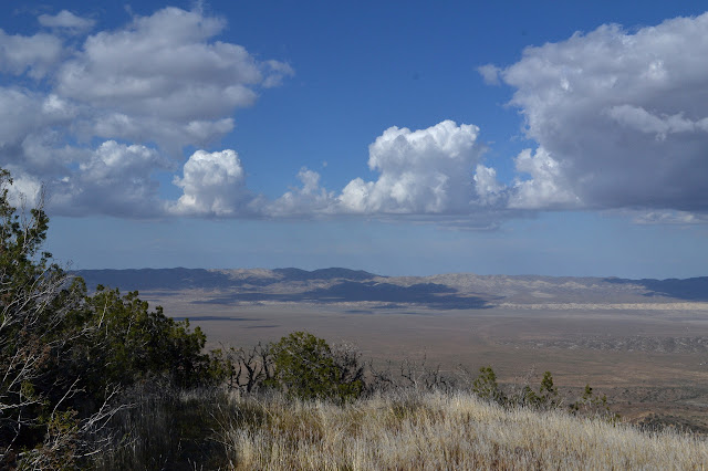
I have been thinking I might return to Caliente Mountain for a climb of it rather than a walk over from the side of it. I am not too keen on the traditional really hot day for it, though. I signed up for another Hundred Peaks Section hike, this time lead by the Doggetts and Jin Oak. At least one Simpson did it the week before, but I did not get signed up to that one. The weather promises to be stunning: a little cloudy and cool although with just a touch of a possibility of a chance of rain. Well, maybe a little more than that. It might rain. The early morning drive started into a stunning sunrise full of clouds and the spaces needed to let the light hit those clouds. We parked a little further from the mountain than expected at a new locked gate that sprang up a few years back, not quite using the parking area designated by some pipes on the opposite side of the dirt road.

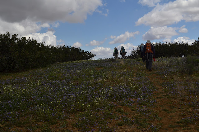
With our boots on and our gear set for hiking and the sign in complete, we walk around the gate and fencing blocking our vehicular progress and set out across the grasses on a shortcut of the fading road that loops a bit to the north. The drying grasses have just enough moisture left in them to leave our socks alone with their sharp seeds. There are only a few flowers mixed in, generally in clumps.

A gully gives us a bit of trouble in the crossing. Higher up, it is a step across as long as one can find stable footing on the sides. Further down, it requires a bit of climbing. Maybe down by the road it is fairly smooth. We get back on the road as we come to what was once the end of a drive for this hike. The gate here looks more official, having signs like "administrative use only" and a handy hiker gate to the side. Now we follow the faint road upward until if stops, having gotten... where? There is a decaying piece of machined wood, wider than a typical fence post, to the side and otherwise nothing. Our stop is high above, so we climb the hill ahead past another old fence to the ridge line.


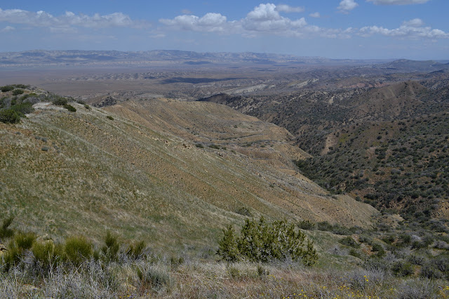
Once on the ridge, it is easy travel. Well, there is a thin rocky bit just a little way along it from where we first climbed up, but then it is easy travel through the grass. The others before us have beaten a faint trail. Sometimes it curves around the edge of a small bump, but mostly it sticks right to the top of the ridge line.


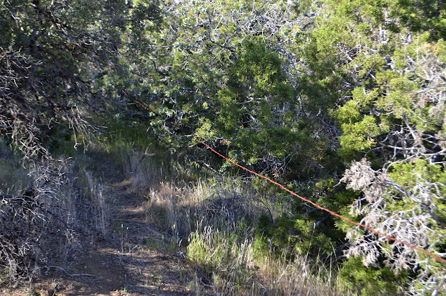
Gradually, the we meet more and more brush. At first it is juniper bushes. Then manzanita gets mixed in and eventually it all seems to swap over to scrub oak. We have to walk around it all, but there is still plenty of room to hike.


The brush gets closer and closer. Somehow this does not cut off our possible trails. The thin track braids below and it braid above. Sometimes a trimmed yucca gives a clue as to where we might go to find an easier route, but even those seem to follow more than one track. Really, everything could be a route, just some routes are more miserable than others.
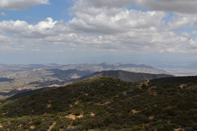

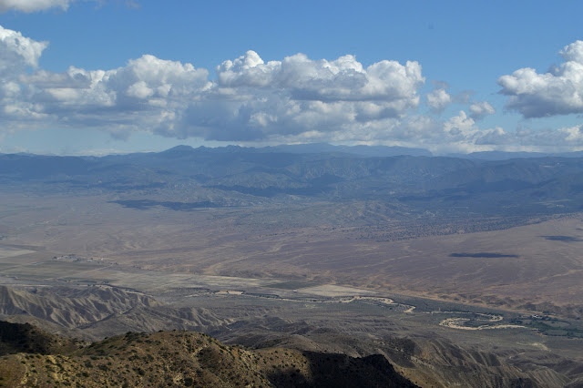
The last of the climb was well shaded by clouds making it quite nice. A bit of scrambling around gets us an opening that lets us out onto the vanishing road at the top. Peter keeps pointing out that when we top out on this one, we will have done the entirety of the list that is in San Lois Obispo County. I wonder that surely there is some other worthy peak over 5000 feet around, but am answered it is not a question of worth or even accessibility, but existence. This is the only one that qualifies for the list. We wait a few minutes for the last of the group to get to the road, then take off to the peak.


We arrive at the top. The broken Aircraft Warning Service cabin at the top looks somehow less substantial than when I came up five years ago.


All too soon, it is time to take off again, back the way we came. We still have a long way to get home.

We stop a little short of where we came up where there is a thin trail going down. This was our aim, but we got a bit off in the confusion of the brush below. We rejoin our trail at a spot between where I pointed out some trimmed yucca followed by an arc of clear space and when I pointed to some more clear space on a ridge above, all of which moved the group in that direction. Oops. The first half of it was good, though. Once on our old trail, the stick marks Ignacia drew on the ground while being sweep really help direct us back down the way we came.
It is all a bit easier once we are out of the brush again. As we approach the spot we first gained the ridge, we now edge around the side of the bump toward the dilapidated fence line below and then out onto the edge of the plain where the faint road is found. We follow it back, although I do not quite see how it swings northward after the gate and end up trying to cross the gully just a little further down from my earlier step across. It is clear others have crossed here before because they have carved a bit of a path down the steep sides.

From the gully, we wander in vaguely the right direction toward the cars. They are invisible behind slight hills and the fast group ahead of us vanish too after a moment. Still, it all works out and we are soon there and can pluck out the few grass stickers in our socks before heading home.
*photo album*
©2018 Valerie Norton
Posted 7 May 2018
Liked this? Interesting? Click the three bars at the top left for the menu to read more or subscribe!


Comments