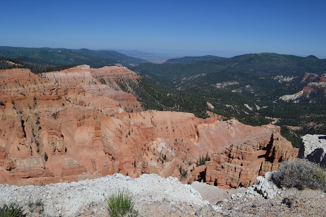
Cedar Breaks National Monument
Sunset View, 3 days before
Access to the little monument is mostly turnouts along the road although there are a couple short trails. |
|---|
| Checking out the cliffs to the north. |
 |
|---|
| The canyons below feel a little like a child's drawing. |
 |
|---|
| More to the south. |
Point Supreme, 3 days before
A short and flat walk out past the Visitor Center gets one to the fencing along Point Supreme. We checked it out on the way to a little bit of touring of Grand Staircase-Escalante while getting the "passport" the Department of the Interior puts out stamped. |
|---|
| There is a collection of hoodoos here and just a little bit of water down in the bottom of the canyon. |
 |
|---|
| Trying to take a little more in all at once. |
 |
|---|
| A little further around to the left (out to the west) is a little more of the landform, this time with a couple blind arches for the eagle-eyed looker. |
 |
|---|
| One of the blind arches at center. |
North View
The land is more colorful where we stopped today toward the north end. |
|---|
| The yellows. |
 |
|---|
| And the blinding white. |
 |
|---|
| Behold the colors! (Nothing has been done to cause these colors to be even partly saturated.) |
*photo album*
©2015 Valerie Norton
Posted 27 July 2015
Liked this? Interesting? Click the three bars at the top left for the menu to read more or subscribe!


Comments