Grasshopper Mountain and Johnson Camp Loop
Humboldt Redwoods State Park
Click for map in new tab.
I was wanting to do some redwoods "properly" meaning, well, wander beneath them for a while trying to look up far enough to see the top. Probably. I'm not really sure. But redwoods. Properly. I noticed I could find some and get a peak as well and went for it. I also noted that it is a bit of a long hike and I would want to use all the light of this short day and started off very early. The route up the mountain starts with a fire road signed as "lookout". The main parking at the bottom of the road is all signed no parking from sunset to 8 AM making it illegal for another 1.5 hours and I don't want the pressure of getting down before sunset (after all, there is still some light available after sunset) so continued on to something unsigned next to the gate. It is still quite dark as I park and a little lighter once my shoes are on, but still too dark for the camera to autofocus on the gate for a picture of that start. Light enough to walk without getting out the lamp.

The trail is the fire road and reputed to have nearly no views until the top. The day is gearing up for a storm tomorrow, so I rather expect no views even when I get there. That doesn't matter, the point is the trees. The view in the middle is a bonus if it comes. For now, I can see the ghost of some hills through the trees in a few places. The dawn is giving the sky the faintest rust color but otherwise the only indication of the rising sun is how quickly everything is getting brighter.

The road splits and my instinct is to go on the one that goes up, but it is signed to help save me from that error. The right fork finds its way up Squaw Creek Ridge and maybe more, but not to the peak. The left fork is signed Grasshopper Multiuse Trail, so that is where I go. It stays rather flat and even drops a little, but is going to the peak. I must just have a little faith. Or a map to show that I'm just going around the side of one bump to get at the larger one further away. Just one reason it is nice to have a map.

I am suddenly aware of the sound of water flowing. It takes a little longer to actually spot some water, and then the road crosses a couple courses. A trough is provided next to one, although the hosing getting water into it needs some work. It is still nearly half full and the next few months will probably keep it full enough.

Signs point out the Johnson Camp Trail as I pass. Here, it looks like an abandoned road. A warning that a bridge is out so horses should not go that way that was at the bottom is repeated here. It would add a couple miles, but it looks like a good option down if I have the time. The forest on the way up has had a few redwoods. It has not seemed much like old growth, but I haven't been noticing big stumps either. There are stumps now as I continue up, then a patch with trees almost as big as the stumps, then another section with stumps. I can see where fire has licked away at these stumps, including down into the notches that were cut to give the lumberjacks a place to stand. It could have cleared out a few stumps too.

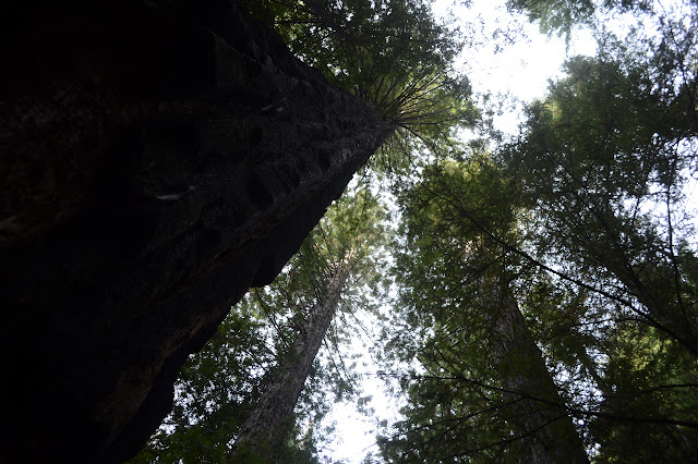
A brief moment with a view makes me think I must be getting near the top. Also, the miles clocked on the GPS would indicate the same. The trees close in again and after another half mile, I am to a junction with a second trail camp off to my left and the peak to my right, both a quarter mile away. It just keeps going up, but it does so gently.

After a bit further than advertised, there is another break in the trees and something that looks a bit more like a lighthouse than the fire lookouts I have seen. There is also the all too familiar look of a recent burn off to my left. Closer, it becomes obvious that the fire has cleared out one side of the mountain and thinned another side. (Canoe Fire 2003 burned this area, but I would have expected the fire killed trees to have mostly fallen by now.)


There is a bit more view at the top than I was expecting with the storm moving in. It is really a thin mist that reduces the surrounding hills to faint shadows.


It is only a little bit windy and cold at the top, but lacking a view and knowing there is much more to hike, I decide to head down. A mysterious thin track drops off the east side of the clearing at the top and heads south past a propane tank. Checking the USGS map for the local area, I can see a trail down to the camp below marked and decide to try it, as long as it swings back around in a reasonable distance. It does, and it passes through the center of the burned trees below to dump me out on a road across from the camp as expected.

The camp is quite obvious because it actually has a toilet with paper. It is balanced on a ridge and people have built up a couple wind breaks out of nearby sticks. Further along the ridge is a tall bear canister suitable to stick a couple full packs into. There is no water apparent. The closest may be a small stream that had a second trough set up beside it about 2-2.5 miles back along the road. There are two other choices down from here that might have closer water sources. The Grieg Multiuse Trail heads off to the south and Grasshopper Trail to the east.
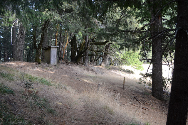
The sign says 5.5 miles to the River Trail via Grasshopper Trail. It sounds quite tempting, but I estimate it would be 13-15 miles back to the car going that way on top of the 8 miles already done. I think I'll take the smaller detour instead, so follow the one multiuse trail north to the first multiuse trail, and then down to Johnson Trail Camp.

Johnson Trail Camp is easy to find as well. It is a bit of a surprise as it has a cabin, although it is busy collapsing. A path past it leads to a buddy that has already flattened. I wonder what inspired their building. Besides the cabins, there is another toilet and one of a couple of springs is set up to fill another trough. The other goes disturbingly close to the pit. There is also a little bit of camp furniture.

My map shows no trail past the camp, so I am not entirely certain where it goes. Eventually, it will get down to the Bull Creek Flats Trail which will take me back to the car. As I leave the camp, the trail that greets me looks a bit newer. It has been excavated to a nice, wide 4 foot tread which makes it still very easy to follow if just a bit narrower than the abandoned road.


The forest the trail moves into as it leaves the camp almost instantly feels different, but it takes me a while to figure out why. There certainly is a greater percentage of redwoods. It is a lot more open that the previous areas I have been in. These trees grew up in the shade of long gone trees as big as they are now. This is old growth. Actually, it extremely open even for old growth. As I look up and down the hills, I can see so many redwoods, big and small. It is absolutely wonderful. This is doing redwoods properly.


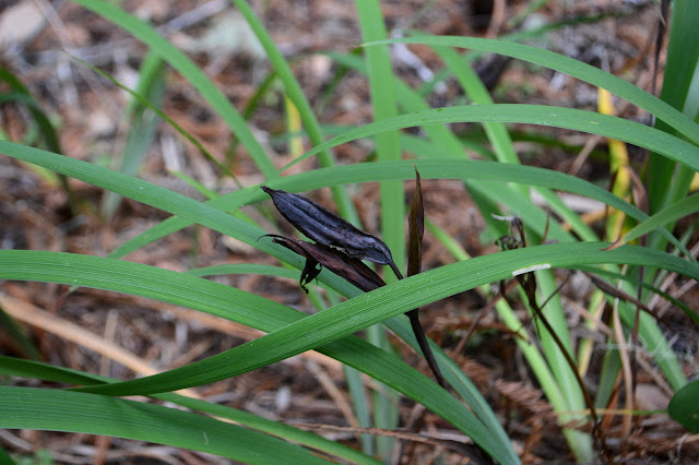

I may be going downhill now, but I'm fairly certain my walk has slowed a bit. The trees! Look at all the trees! Such wonderful trees!
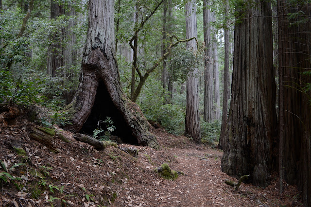



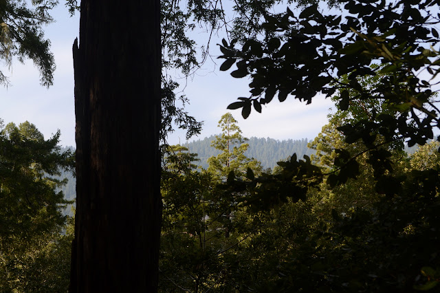
Even with the very open forest, I still have very little view out to the landscape beyond. Once I do catch a glimpse as the sun makes a rare appearance from behind the clouds. At first it looks like I should have waited a bit for a better view at the top, but then I realize it is just that I have gotten closer to the hills so there is less mist to abstract the view now.


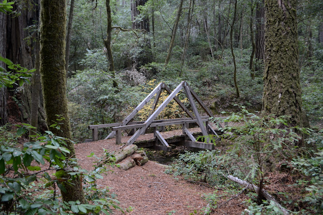
I come to a bit of trail decorated with ribbon. It blocks off a bit going off to a steep bank where lumber sits below. The bridge that was smashed by a tree and removed earlier in the year. A trail scrambles down into the dry creek beside the ribbon. It may not be recommended for horses because the bridge is out, but one has dropped a couple turds on the bypass so I guess they can make it. It is not all that difficult for me, either, although it is a much more primitive trail than the one I have been following. Since I am very nearly all the way down, it is nice that I do not have to return the way I came.

The forest seems to be changing again. The understory gets thicker, particularly large trees are more frequent, and there is a lot more fallen.

The trail ends at Bull Creek Flats Trail soon after. The area is a rather large flat zone. I hang a left and soon come to a second junction, but this time without much indication which way I should go. Probably left, but the map has some trees marked as landmarks just barely off my route. There is still a little light, I have a bit of time to go and see them. I go and find myself among the Big Trees Day Area.

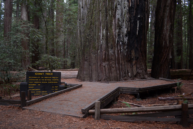
I cannot quite figure out which fallen log is supposed to be the Flat Iron Tree. Is it the log on the bottom or the one that has fallen across it? There is no bridge to cross the creek to the parking area, but there is a large log that many have used. The water it low enough that I can just walk across on some gathered rocks in the creek to see the marked Tall Tree. It is, well, not as cool as the giant tree. I think the sign on that one said it was taller, too.
There is a little bit of climb on the last bit of trail to get back to the road at those same parking spots I passed up on the way in. It is now just a little after sunset, so they are illegal again. Dark is following very closely behind the sunset. Signs at the trailhead warn me that the seasonal bridges have been removed for the winter, so that explains why there was nothing to cross the creek at the Tall Trees Day Area. One last little climb up the road and I finish with just a little more light than I started. Winner! I used all the light.
As it turns out, there is a map available and, except for the excursion to see the Tall Trees, I exactly followed the route suggested for Grasshopper Mountain. Nice to know someone approves. The Johnson Camp Trail below the camp was certainly worth taking a few extra miles.
If deciding to backpack this route or something more, be aware that backpackers must register for trail camps at an open campground entrance station and pay fees of $5 per person before going. The sites are limited to 6 people each.
©2018 Valerie Norton
Posted 1 December 2018
Liked this? Interesting? Click the three bars at the top left for the menu to read more or subscribe!


Comments