Posts

Showing posts from January, 2019

Camp Beale Springs

Image
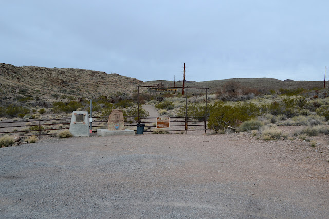
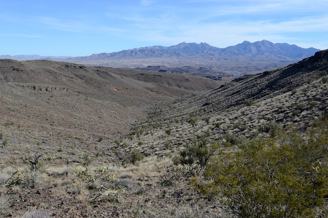
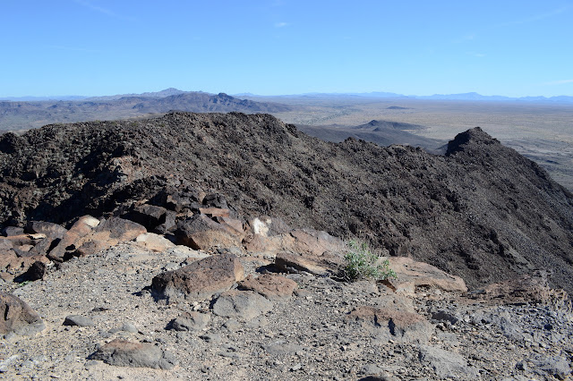
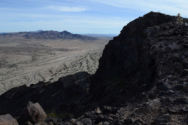
Cerbat Foothills Recreation Area Click for map. For a little bit of area history, stop by Camp Beale Springs, but pick up the free permit to enter it from the city first. It is available from the Powerhouse Visitor Center or the City Parks Department at Centennial Park and mine came with a rough map of the area. Parking is not signed, but is across from Wagon Trail Road a little before the signed parking for Camp Beale Trailhead. Parking and gate for entry into Camp Beale. Monument plaques sit to the left, one for the Hualapai people who were collected here and one more general. It all revolves around the spring of course. It was a stop on a toll road in 1865. It was an army outpost during the Hualapai War 1866-1870. The camp was established in 1871 as it became a "temporary reservation" for the Hualapai Indians 1871-1874. As that follows on the heals of a war is is followed on by a forced march, the wording "internment camp" on the other monument migh

Looping Rattler and Camp Beale

Image
Cerbat Foothills Recreation Area Click for map. The recreation area continues on the far side of the highway (and future I-11 corridor) so I went over to the Camp Beale Trailhead to check that part out. There is a connector under the highway, so all parts of the trail system are available no matter which trailhead is chosen. It is a couple miles between these two via the connector, and they are the closest together of the four available, so it is nice to choose the right one. This trailhead is much smaller and someone has destroyed a large sign that probably once held at least a little good information. At least the trash isn't overflowing. The monoliths from yesterday sit in the distance. A bit less information at this trailhead. I head out around the loop to the left this time. That way passes near the actual Camp Beale area which is accessed from a lot a little closer to the highway and requires a free permit from the city to enter. (Get it from the Powerhouse o

Foothills Rim and Monolith Gardens

Image
Cerbat Foothills Recreation Area Click for map. There is an extensive trail system at the edge of Kingman, Arizona, and so I am off for a general exploration of them starting at the Coyote Pass Trailhead. This trailhead is only accessible from the southbound lanes of US-93. There is a right hand turn lane, but little indication what it is for. There is a huge lot with trash cans and signs at one end and a bathroom at the other. The signs indicate that the trails are on a mixture of federal, state, county, city, and private lands and is generally run cooperatively between BLM and the city. Oh, and trails are maintained by the local mountain bikers. It sounds quite complicated to get set up, but they managed it and now there are trails for all to enjoy. Signs at the trailhead and one of the monoliths in the garden. I head down the trail in front of me toward something interesting. It looks like someone carved a door into the side of a particularly large air bubble in the

Bill Williams River

Image
Lake Havasu National Wildlife Refuge Click for map. I stopped at the view point beside the highway to hike out a short way to sign a cache, but it is really an excuse to see a bit of the Bill Williams River. It has probably changed a bit with the damming of the Colorado River that makes Lake Havasu. That dam is only a little further down the river and so this one has been flooded a bit too. Outside the channel seems to have filled in so that now reeds grow thick. Around the edge is a border of tamarisk. There are not too many birds in evidence at the moment. I quite like the mountains rising from it. Looking out over the river from the roadside view point. The geocache I am going after is actually 0.56 miles off. Not very far, but it is across a few narrow, steep sided canyons. The direct route would be difficult to actually hike. The reeds look flat and easy, but in spite of their brown color I am rather certain that there is probably water or at least miserable mud

Black Peak -- avenged -- and the south peak

Image
Colorado River Indian Reservation Lake Havasu BLM Click for map. Back at the bottom of Black Peak and out to conquer it after my defeat a few days ago . It will be a bit of a hollow victory because I am now approaching it via a route that is much easier than the crumbling class 3 climb I aborted almost before it began previously. I'm just going to take the road up. Everyone is doing it, at least everyone who has registered their ascent on Peakbagger. Back at little Black Peak. This side has a big "P" for Parker on the side. I park off the road where it is curving back to east-west next to a "no camping" sign and what is probably illegal road. Somewhere to my left should be the actual road that ultimately makes its way up to the top of the peak. I head off cross country sort of angled to eventually run into it. It is hard to miss when I come to it, although I take it for a wash as I approach. The footing on it is much worse than in the surroundin

Lopez benchmark and Vampire Mine

Image
Shea Road (Parker, AZ) BLM Click for map. Today is to be a bit less directed than the previous hike, just letting the local hiders of geocaches be my guide with maybe some excursions for a benchmark or Mineral Hill or corners or whatever. The geocaches purport to lie along a loop of road although one lies further afield. One part heads north at the end of 2WD travel according to my map. I'm not sure how this road will look after some rain, but it has been worked recently and is good as far as is indicated by the map right now. For the caches, there seems to be a recommendation for 4WD, high clearance, short wheel base, and avoid weekends for less potential of meeting anyone coming the other way on a narrow rugged road with few pull outs. None of that worries me for walking. Starting up toward that massive mesa area that was seen roughly north of Planet Peak. The road does not actually seem uninviting until it starts down to cross the area's major wash. Some peo

Planet Peak

Image
Lake Havasu BLM Click for map. It rises 1500 feet from everything that clusters around it and it says "planet" at the top and what more does one need? Well, maybe a route and there are not a lot on offer for this one. My chosen route starts a little way down the road from a rather nice camp site and, well, I'm already parked, so it starts at a rather nice camp site. From there, head southerly into a particularly large wash coming off the mountain. It will split at some point, take the left side there. A little further and the ridge comes down to a low spot on the left where I want to transition from wash to ridge, then right on up to the top. There is a rocky area that looks a little worrying along the way, but I'll just have to take it as it comes when I get there. There is also a little matter of the weather, which I neglected to get a prediction for and which seems to keep turning the more distant areas a little bit misty. My old weather report for a lot o

Black Peak

Image
Lake Havasu BLM Click for map. The cluster of three little peaks drew me to the area of Shea Road. I figured they would be quick to hike all together in a most, but not all, of the day sort of way. Antennas stand apparently to the west slightly of the top of the named one, Black Peak, which dampened my spirits a little, but one does come to expect this sort of treatment to peaks. The boundary for the Colorado River Indian Reservation takes a corner up there, so it has potential for an unusual monument at the top. I parked by the one closest to the road in a spot where there weren't so many campers. Practically any place will do along this stretch of road. The first target, a peak that stands out from the other two a little to the east. This camping area was completely empty although there must have been at least 40 RVs on the other side of a little hill. The wash at the far side of my parking area is full of ATV tracks and the buzz of the things, mostly on tracks ac

Aubrey Hills - Cattail Cove State Park

Image
Arizona State Trust Land Cattail Cove State Park Click for map. Another day for exploring around the Aubrey Hills, but this time heading a little north to the Cattail Cove State Park. It is almost two miles up the road and, apparently since I'm just a glutton for punishment, I have decided to find a route under the power lines to get there. After all, power lines have their roads. First I have to get across the big wash I finished in yesterday. That is easy enough because there are two roads down into it on this side and one out of it on the other and although that one is washed out in one spot, it is not a sufficient blemish to keep a few people from using the road so I ought to be able to walk it. From there it is easy to find the road under the power lines and then more road climbing up into the nearby hills. Another flattened spot, but it's a nice view. Artificially flat. Today is sunny, but plenty of haze from somewhere. Road down from the flat at the to

Aubrey Hills - the needle

Image
Arizona State Trust Land Click for map. Today is a day for aimless wanderings, but I'm not very good at aimless, so I'll aim first for a rock some geocacher in 2005 thought folks should come out and visit (and indeed quite a few have since then) and then over to a selection of section corners that happen to be marked on my map. All this easily starts from wherever I happened to land the night before, which was south of Lake Havasu City. Something of the hills to the south has just been calling to me. I had tried for something on the Bill Williams River, but the road was muddy and marked not for camping, so I came back north a few miles. It's an expansive spot that looks like some developer got started but never finished. The rumors that come to me from other campers agree with this impression and add that one of a pair might be in jail now. It's a bit far from anything for houses, but if you build it, they will come. Flattened expanses on both sides of the

London Bridge via Sunset Trail

Image
Lake Havasu State Park Click for map. I must admit to feeling a bit uninspired by Lake Havasu. It seems like a place supposedly geared toward an outdoor life that merely tolerates me at its edges. It is full of big RVs and big boats and if you forgot yours (or just couldn't bring it while you flew in), there are a dozen places to buy some. There is a sense of a Disney World to the place that probably started long before there was one to emulate. The London Bridge was purchased in 1888 and brought over in numbered pieces. It is actually only the outer stones of the bridge which were placed on a concrete structure, so it isn't quite so ostentatious as it sounds. Still plenty ostentatious. And you've got to see it. That's why he did it, so you'll come and see it. And there is sort of a way to do it on my own terms as part of a hike: via the Sunset Trail. It's right there in the AllTrails list. The state park wants $15 or $20 entry depending on the day.

follow by email