Mount Saint Helena
Robert Louis Stevenson State Park
Click for map.
Mount Saint Helena was on my radar long before seeing it as the highest mountain on the San Francisco Area Nifty Ninety peak list. It was my real desire when I came out and hiked Table Rock and that was renewed when I saw it has over 1000 feet prominence. From the top, if you want to get any higher, you've got to come down a thousand feet first. It sticks out a bit from the rest of the landscape. The largest parking is in the same huge dirt turnout available for Table Rock. There is also a little on the other side of the road. The trail climbs to a utility road and there is a little more parking at the bottom of that as well. The big lot has plenty of room, so I go for that and then have to cross the highway to start.

My camera battery is dead. It had a light shining as it sat under my pack on the way home last time. I didn't think it was for that long, but apparently I drained the battery. All pictures will have to be from my little pocket computer with something like a camera on it that likes to despeckle and sharpen and otherwise overdo the processing until the photograph is a series of flat color blotches. It should look okay at the level of a web page.

The trees are pine and similar in the more sheltered areas of the mountain, but madrones pop up as it gets less so and manzanita as it starts to bake. I put in a few geocaches to find along the way having forgotten how consistently way off trail they were on the way to Table Mountain. They are well off this time, too, but sometimes they actually bring me to something. The old roads around that are still faintly visible must be from mining, because that is what they take me to.


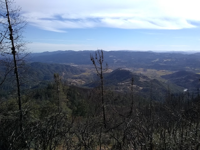
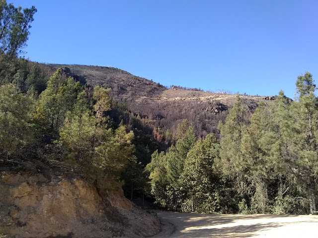
I come to the utility road. The trail has a simple sign which could be quite easy to miss at night, but I'm supposed to be down by sunset. The road itself is wide and smooth and well used by both foot and vehicle traffic. A few turns and I am in burn area. This is a result of the Tubbs Fire (October 2017) which was so destructive and deadly when it hit Santa Rosa in the middle of its first night. It looks like much of the mountain burned.


Once on the road, all there is to it is to progress upward. Well, there are a couple little roads that spur off to the left to avoid if going to the top, but they are obviously not the way on a sunny and clear day like today.


Of course, I can't quite just go up to the top. One of those geocaches is a multicache that asks me to gather information from benchmarks on the mountain. I can get the information from the second one from memory and I can easily look up the third and fourth, but the first is something mysterious just over half a mile from the road along the county line. This one I will just have to go out and see. A bulldozer has made the way easy, but the cuttings scattered over it after make it a little harder. The shrubs are coming back and I see bush poppies and a particularly pointy ceanothus among them.

So that takes a while. Then I just have to continue up. Except that second benchmark is in a funny place so I want to see what it is. It's just a short way off, really, but does take a little bit of time to find even with coordinates. It's the azimuth mark for the station at the top of the mountain. I bumped into an azimuth mark in Wildcat Regional Park, but they still feel like rare and special markers to me.

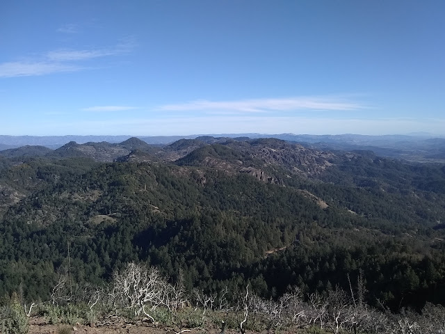
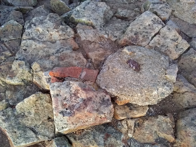
Now I just have to go up. Really. I skip the county high point and just climb to the top. I am just in time for the light show at the top. There are towers at the top, but the rocky point of the peak has been left. The surveyors were here over and over through the years, and like on Gaviota, they have left some odd bits at times. Unlike at Gaviota, one of the oldest bits remains. A copper bolt cemented into the rocks in 1876 "said to mark boundary between Lake and Napa Counties" although the high point of Napa is a lower peak to the east now. Additionally, some brick structures were constructed, and later rebuilt in 1891, which are still evident from remains of the bases. It is fun to poke around it all and another sort of monument besides.


Unfortunately, the multicache that I gathered up all the information for is down a steep side of the mountain and I am pretty sure it would be foolish to go after it in the gathering gloom. Having really missed my deadline for getting back, it does feel like I might as well tag some peaks on the way down, especially if they have nice, easy roads up to them.
The Napa County high point: nice easy road. Or I could shortcut through a fuel break. Quite a lot of the brush near the peaks has been cut, probably to be sure the electronics would be protected. It is still a little light and the way looks easy, so I go for the shortcut. Without any unfortunate incidents, I am at the top of county and taking in the city lights. It really is a very clear night.
As I look around near the ground, light pollution fades out even the brightest of the stars. When I look directly up, the Milky Way is there in quite a lot of glory to enjoy. The lights are far enough that it does not fade. I tag one more peak with a road down it. It just happens to be another Nifty Ninety. It feels a bit like list padding to me, but I get a little more time to marvel at how many stars are directly overhead and how much it fades by the horizon and to enjoy the valley lights.
The rest of the way down is a bit long and it is easy to miss that sign in the night. I have a sense that I have gone too far before finding that this well used road is actually currently blocked by a large fallen tree. That makes it certain since I passed no such thing on the way up. (It could have fallen while I was on the peak, but it is not where I was before.) I am happy to go all the way down the road to the highway. Unfortunately, there is not a lot of room to walk beside the highway and it still has plenty of traffic, so I am not particularly happy to go back up along it. There are old road routes that offer at least some alternative walking places besides the highway, but in the dark it is all too easy to miss them.
©2018 Valerie Norton
Posted 5 November 2018
Liked this? Interesting? Click the three bars at the top left for the menu to read more or subscribe!


Comments