Clintonia Loop and Fern Canyon
Prairie Creek Redwoods State Park
(Map link.)
Since I've noticed that I've walked almost every trail in Prairie Creek, the ones that I haven't have started to stand out. There's a mess of little things interconnecting by the campground that I might not ever do short of finding myself actually camping there, but the Clintonia Trail is a stretch up high in the Murrelet State Wilderness that makes some shorter (and perhaps more approachable) loops available through the old growth redwood trees. So I headed out for it with a thought to maybe visit the ghost pipes again afterward. There were still quite a few other visitors around and I needed a bit of luck to grab a shady parking space between the visitor center and campground, then wandered the tracks over to the biggest trailhead in the whole park behind the visitor center with its big sign of historical destinations. (I keep focusing on "Butler Backpack Camp", which presumably became Ossagon Camp, which became an overgrown, washed out spot along the trail. The rest of it is still there although the James Irvine Trail has been rerouted, likely changing the length.)
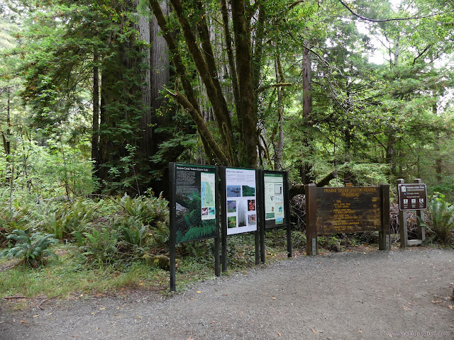
I circled around on the nature trail, past a couple junctions, to James Irvine to start climbing. It winds upward to the split with Miners Ridge.


The two trails don't split off very quickly and I could actually spot James Irvine winding along a short way below in a couple places. They eventually split off properly as Miners Ridge stayed high on the ridge.


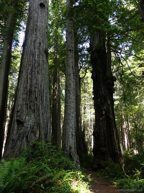

I got to the junction. Miners Ridge actually drops to Squashan Creek soon after, so following the Clintonia Trail means more ridge time.

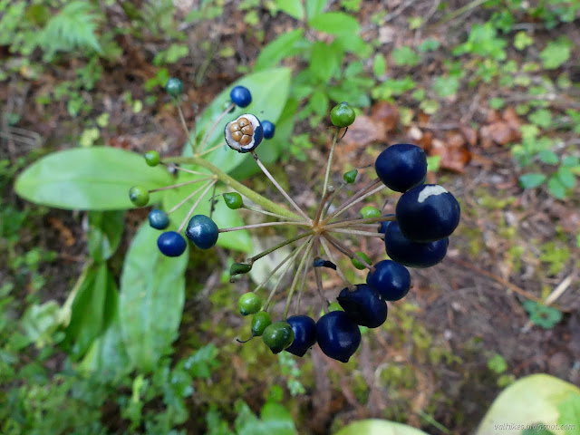
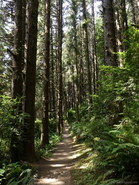
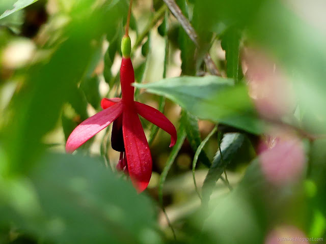
I had been thinking to show off the clintonia on the Clintonia Trail, but it winds along passing absolutely none of them. It's just a name. (The NPS description assures me that there is a "bright seasonal display of fuchsia blooms", but they should be quite noticeable with their big blue seeds now.) It does pass a couple of memorial groves. I started down the first surprised to see a trail that appears to get some use. It cuts deeply into hills even though there is lots of room off to the side, which is what clued me in to the fact that it was once a road. I didn't go far down it, but it was easy to see once noticed.

Once I'd seen the memorial grove trail was a road, I couldn't not see that the Clintonia Trail was also once a road. It is generally a very wide trail and has an odd look to it. There are still plenty of big trees beside it, but there are also some medium sized stumps and spots where the "dog hair" of many tree shoots, this time not redwoods, are growing. They line much of the old road too, giving them a greater presence in the impression than they actually occupy.


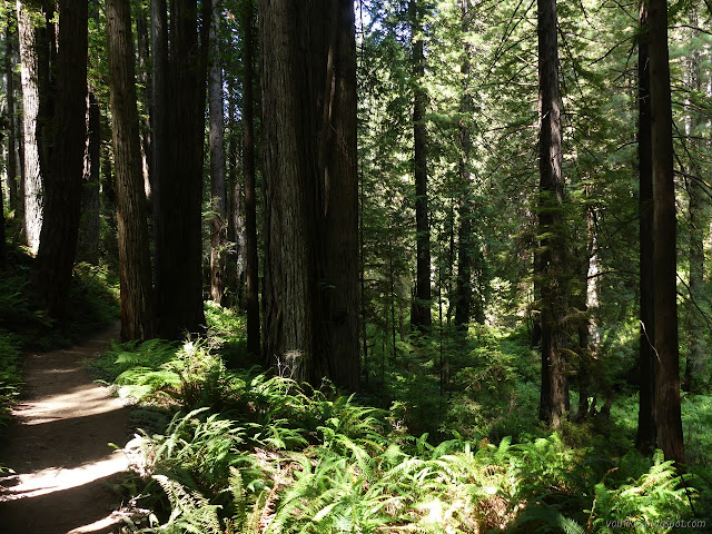
I passed another old road spur that seems to be getting some foot travel before the trail turned to start down off the ridge through a particularly lush bit of forest.


I had decided to extend the hike out to Fern Canyon by the time I got down to the James Irvine Trail again. It's only a mile and a half so the ghost pipes would just have to wait.


I stayed high when I got to Fern Canyon. I guess that little piece of James Irvine Trail is also a piece of trail I'd not yet hiked. I noticed a spur down some built steps on the way and followed it down across a meadow full of invasive flowers to a lookout on the edge of the canyon.


At the mouth of the canyon, the cliff wall sort of curves around and joins the higher coastal cliffs. The trail navigates a steep area down to the general washout that is the trail at Fern Canyon. Time to turn back, I started up the canyon. It's one of the more crowded areas, but there were people all along the way all day.

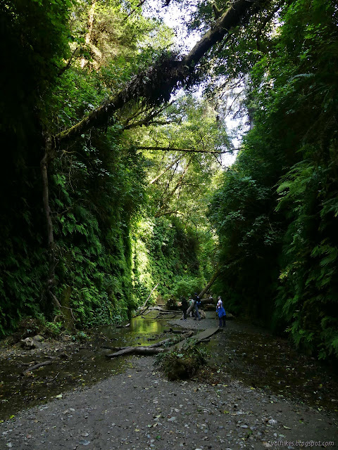

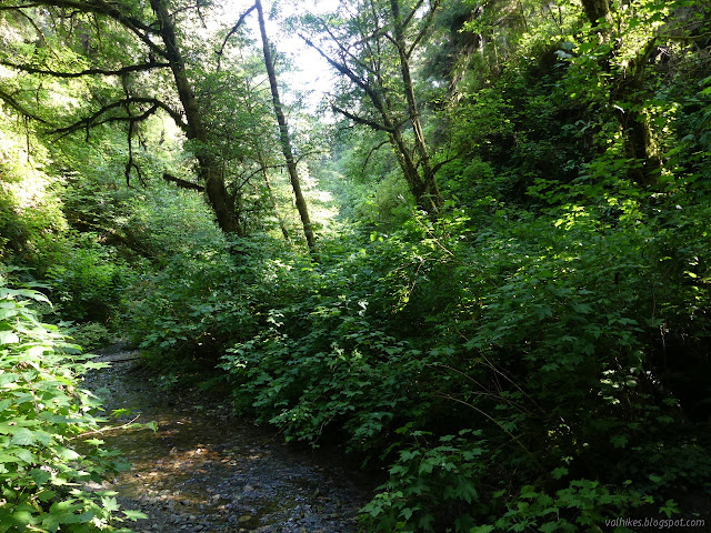
There's numerous waterfalls that come over the edge, but they were all a few drips this late in the season. I kept going a little way past the exit trail, but one really needs to go ahead and splash through the creek to continue. I wasn't feeling particularly splashy. There is plenty of travel further, but eventually the growth closes along the bottom of the canyon.

I headed up and back along the James Irvine Trail. I did pause at one memorial grove trail. It went as far as a fallen tree and everything behind hadn't been used enough to maintain a trail. People were leaving notes to wisdom and other such things at one tree making a little shrine. It was an improvement over the papers usually found around the back of a tree.


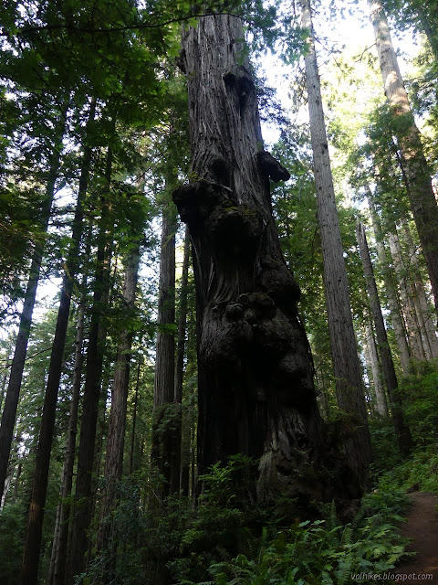
Back at the junction with Miners Ridge Trail, I noticed that if one takes the mileages as accurate, it is actually shorter to Fern Canyon along my route there rather than the apparently more direct route back. The difference is a tenth of a mile, so it isn't much. One may as well take both routes.


As expected, there wasn't enough time at the end to go see the ghost pipes, but it was still a grand day out under the tall trees.
*photo album*
©2021 Valerie Norton
Written 6 Sep 2021
Liked this? Interesting? Click the three bars at the top left for the menu to read more or subscribe!


Comments