Hikshari' Trail to King Salmon
Eureka City Park
(Map link.)
I decided to take the Hikshari' Trail, the southern end of the Eureka Waterfront Trail and part of the Humboldt Bay Trail, in a new season. For the most part, the different season just meant it was drier in the areas that are not bay. I started a little south of where I intended, having turned at the second road after the Bayshore Mall instead of the first, then wandering along to the parking at one of the parks. That just avoids the parts close to a little used road, leaving the parts on the far side of the water treatment plant.

I headed south on the bike path, but turned onto the gravel alternate almost immediately. It doesn't go very far, but it does it closer to the water.


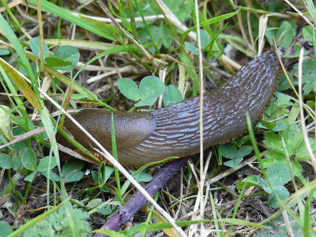
I soon found myself back on the paved path. It gets close to the bay, too, but also gets surrounded by willows and blackberries. There's a sign stating that these are great places to find birds, including ones usually somewhere else for the season. It was almost quiet among those branches, though.

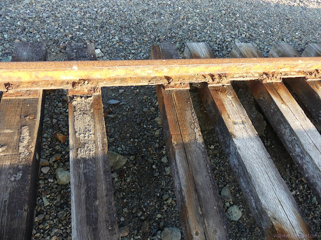
The trail leaves the old railroad grade. I could faithfully follow it to more parking, or return and catch that bit of trail I had missed. I decided to continue along the (future) Humboldt Bay Trail, on and around the railroad grade, for a little longer.


When it is properly part of the Humboldt Bay Trail, it'll be more paved multiuse trail and the tracks will be long gone. They are a little bit dangerous now. I had fun playing among them.


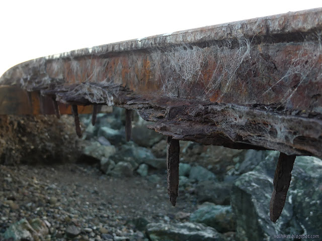
The trail gets a little brushy as it approaches King Salmon. The old railroad grade cuts across inland while a second route behind the rock hardening along the bay offers a second route. Choices. I started along beside the rocks, then admitted that it was getting late and I should probably be turning back.


So I did turn back.

There are sorts of rock piers along the way that one may step out on, at least if the waves aren't getting too active. There were only little splashes as I was walking by.


When the beach started, I decided to walk along it a little way. Just until there is a major trail back to the railroad bridge. All the way out would be very far indeed.
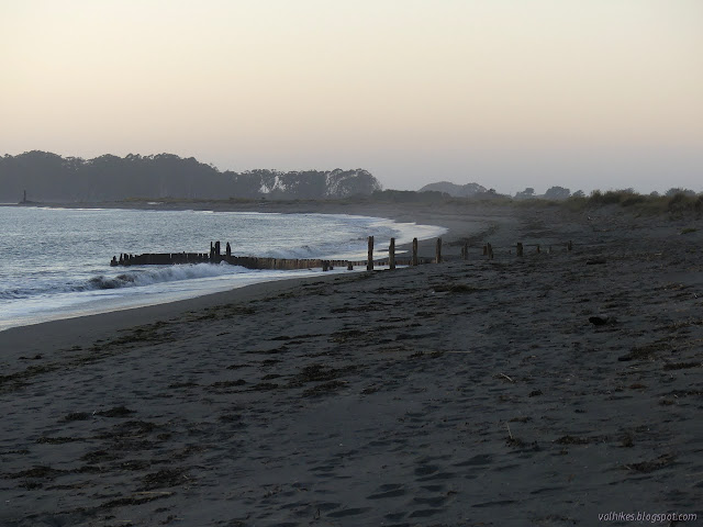


There were a few more birds overhead as I went back. The evening was bringing out the bugs and the bugs were bringing out the swallows. They would fly over in bunches.

A nice little walk, if a bit flat. The birds were quite unexpected.
*photo album*
©2021 Valerie Norton
Written 15 Sep 2021
Liked this? Interesting? Click the three bars at the top left for the menu to read more or subscribe!


Comments