Turquoise Mountain and Beacon Hill
Las Cruces District BLM
(map link)
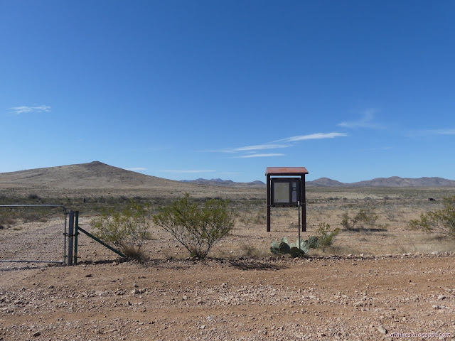
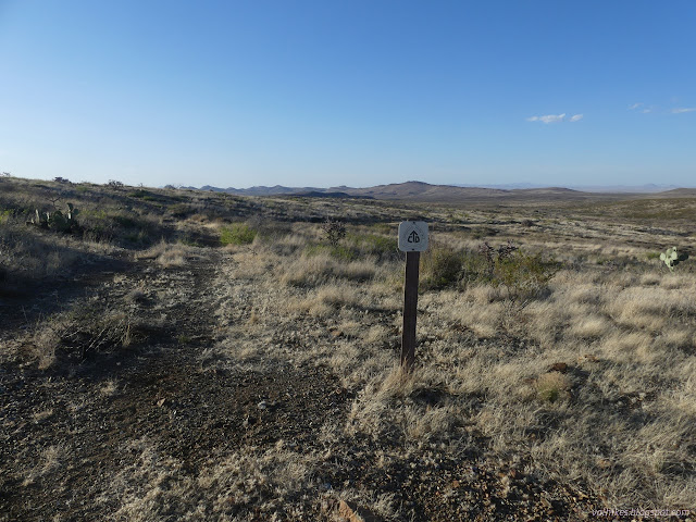
I arrived back at the Continental Divide Trail kiosk along NM-9, this time directing my attention to the south of the highway. Multiple people were moving around and it looked like someone was resupplying the water in the cache box. I passed three hikers before I'd even felt properly on the trail, which weaves a little with a dirt road before heading south. It was fairly distinct for a lot of the way.
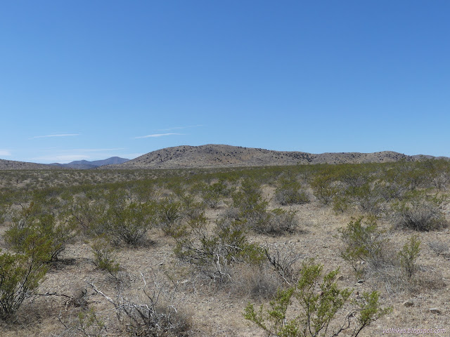
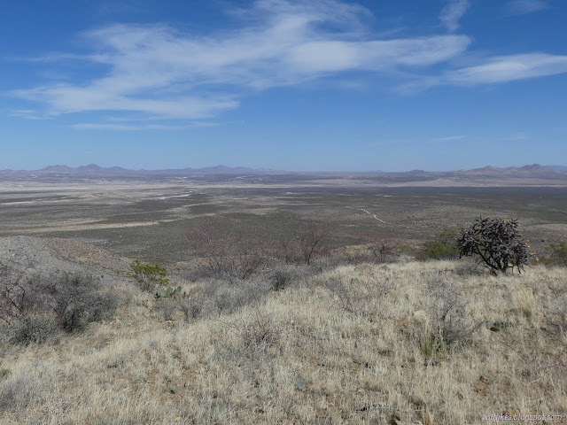
I passed a few more people as I crossed the not-quite-flat flats. There's actually a small hill down and then I gradually found myself to be in washes of varying frequency of water occupation.

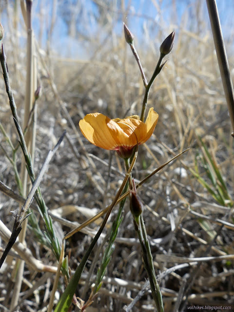
Long about the 8th hiker, I exclaimed that I must be lost, transported to the PCT when I thought I was on the CDT. She said there were about 10 of them altogether from the same shuttle ride and still pretty clumped up. She congratulated me on being almost done, no great feat since I was only day hiking. We talked about flowers, small but numerous. She pointed out a grass that's supposed to be special, but couldn't recall why. This is when I committed a faux-pax. I asked if I should add it to my iNaturalist collection and her companion exploded. "Not another one!" as he ran off a few steps. I have many collections. Today my main target is to add to my peak collection. At the end, I'd add one to my found geocaches collection. He wasn't entirely swayed.

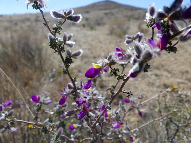
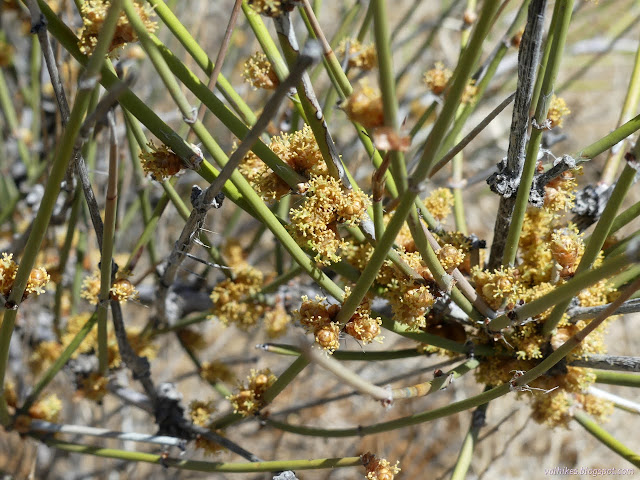
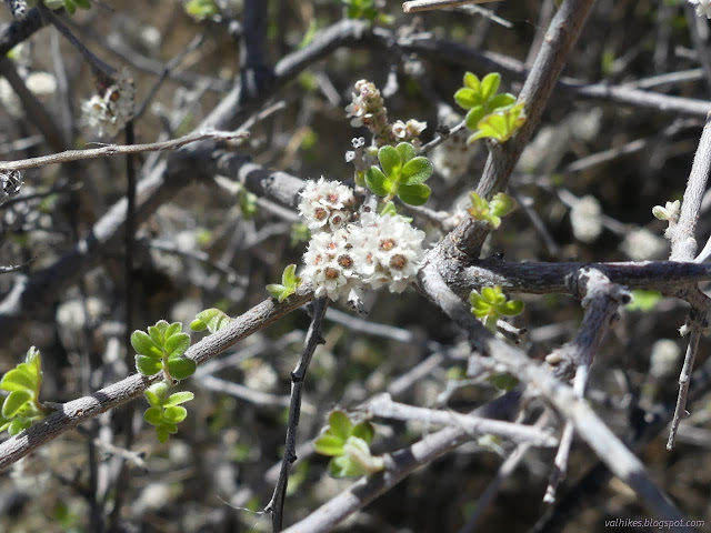
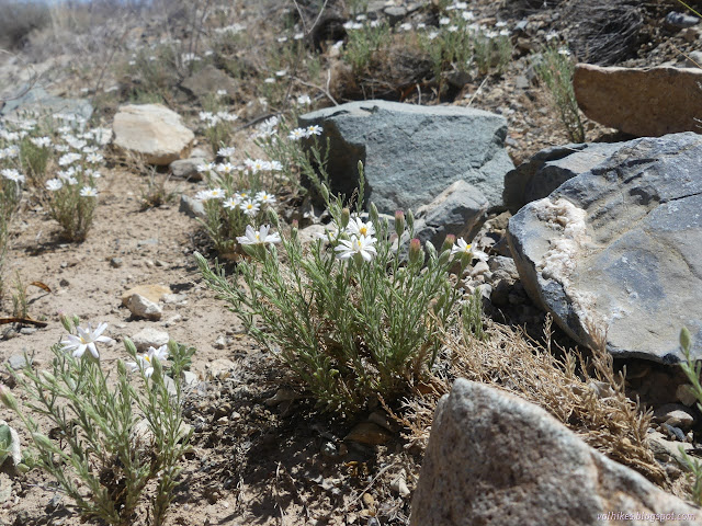
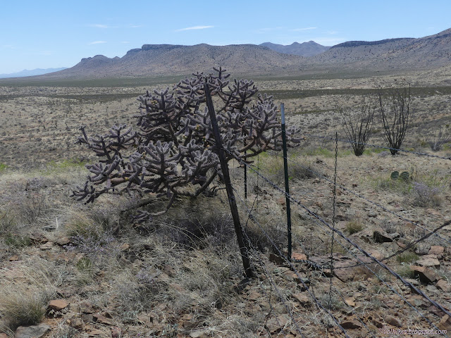
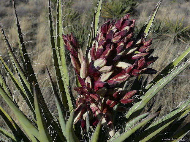
I did encounter two more hikers coming north, the next eager to try some English but not quite understanding, and the last asking where the next water was. He looked like he was calculating when I told him 2 miles, so I asked if he needed some. He went on without. Then I found myself dropping into a proper, often running wash that the trail was following. The bushes along the edge were largely in bloom.
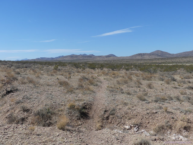
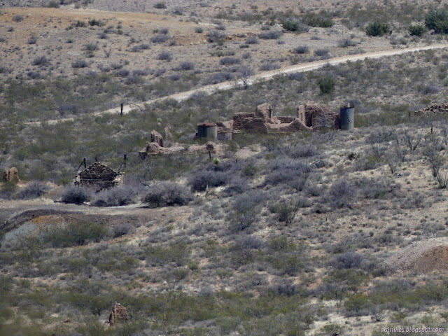
Once the trail was out of the wash again and starting to climb the foot of a hill, I was looking for another trail that would take me to Old Hachita. The map said it was there and would grow into a road after the wash. The trail got as far as the wash, but after all I found were a couple recent ATV tracks after crossing the wash, but it did eventually grow into a bit of road a little past the first prospect I encountered. Occasional mining looks to be the only thing still happening in Old Hachita.
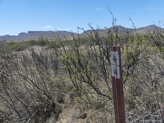
I found an old CDT marker in the bushes when I met the road through Old Hachita. I guess it was a stop on the trail once, not that the resupply potential was any better than. I headed through town, then off a side road up the little hill beside it that is Turquoise Mountain. It isn't much, but it is just high enough to have a bit of vicious wind blowing at the top.

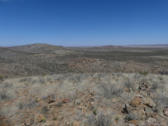
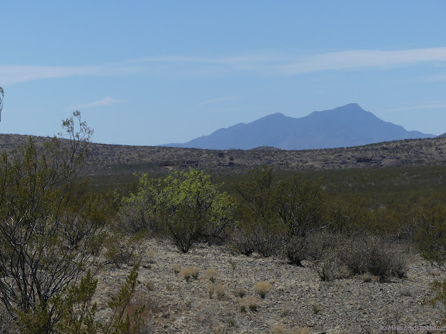
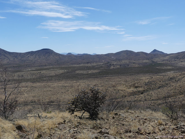
I fought the wind to head over the little mountain to the other side where I could connect with the road again. Originally, I was going to go up another small bump to the south that is also labeled Turquoise Mountain on one map, but I ultimately couldn't be bothered. I headed for the high point of the collection of mountains, across the wash, instead.
The road I was aiming at had become washed out, but it was there on the other side and got more distinct as I went. The map showed a maze of roads and the ground showed slightly more so that the map wasn't quite a key to it all. I wandered down a wrong one before getting on something climbing to the top again. Up past various mining scars, some quite large, I climbed.

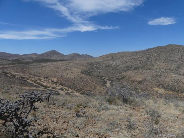
There are three peaks along the top. I walked to them all to make sure, but decided the tallest was the first.

I headed back along the ridge top, noting that the fluffy grass grows up there, too. I was heading for Beacon Hill, so followed more ridge to another road. Someone had dug a huge hole right in the middle of the road and stuck a plastic fence that won't last the year around it. You could drop a whole truck into that hole. I walked around, as had the little bit of traffic. I wound my way along past a windmill and decided on a route up Beacon Hill since it actually doesn't have roads.


At the top, I found four posts from, presumably, the beacon that gave it its name. I know there were beacons in the area to help direct airplanes from El Paso once, but there were probably other things it could be too.


I headed down and connected back up with the roads. They were increasingly unused roads, but the junctions seemed to all be there. I found myself following footsteps down the mountain and along the roads.


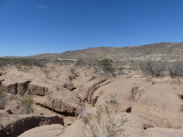
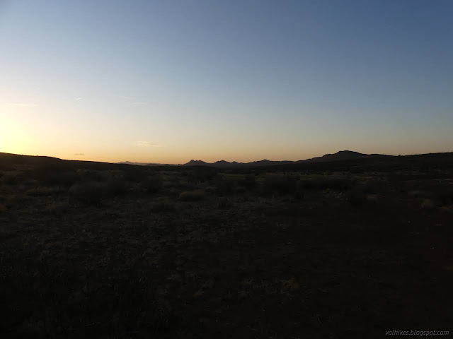
My road dropped into the wash and where it first got out, I could find and follow, but there was no point. The vehicles that did travel it kept to the wash. I didn't even find the next segment out of the wash. I found the one after that and could almost see the junctions as I followed it high around some old washouts. It was really silly to be following it. It came down in the wash again near a junction with much more use. From there, road following was mostly easy except for the transition over to the current CDT route.

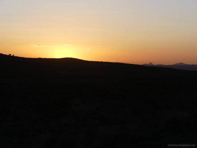
I had just enough light at the end to find that geocache I was intending to add to my collection and was off.
*photo album*
©2022 Valerie Norton
Written 1 Jun 2022
Liked this? Interesting? Click the three bars at the top left for the menu to read more or subscribe!


Comments