Lightning Dock Mountain and South Pyramid Peak
Las Cruces District BLM
(map link)
I meant to park at Rainbow Wash, but instead found my backup parking at a road beside a benchmark. It was tempting to leave Lightning Dock Mountain to the end of the hike when there was actually a chance of some lightning. Poetic. Exciting. It seemed more sensible to go up it first, since it was likely to be dark by the time I got to it at the end. I walked a few steps along the road then turned cross country to the lumpy peak that looked so delightful on my way to (North) Pyramid Peak. The light this day wasn't giving it quite so nice a showing. I encountered the first range fence of the day almost immediately. I ducked under it at a wash, let a couple steer run off in unnecessary fear, and strode on.


I passed a wash as a mysterious road dumped into it, but it was on the map. From there, my route generally flat with washes to cross turned upward and I began to climb. There were more ocotillos, all getting started in their blooms but not leafed out. I aimed at the south edge of a gash of a wash on the increasingly steep slope.

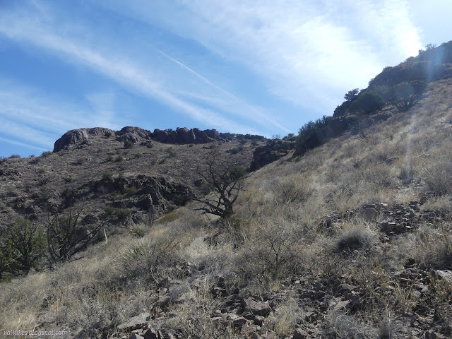

Reaching the top, I though there was just flat mesa to go to the actual peak. There were gashes across it that had to be navigated, down 6 or 8 feet and back up again. They took some time, but there were routes. Then I was at the top, the first peak of the day already bagged.

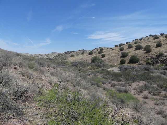
There's a great big patch of private property in between Lightning Dock Mountain and South Pyramid Peak. I had figured to round it to the north, but had not quite appreciated the hilliness of the Russel Hills. It didn't look such a great route on the ground. I decided to swing around to the south, the way I would come back. It did mean putting a little more effort into avoiding a smaller patch of private property with an actual ranch on it, but that didn't prove too hard. I wandered along the feet of some hills, then into washes.


Up and over one last little hill, I was into a large wash called Hightower Canyon. I made my way along the washes, generally picking the right hand side if there was a split. Eventually, I was around the white spot on the public lands layer on Caltopo.


I had trail to follow along the side of one wash, so I followed it up, losing it on a hill and finding more on a ridge. I watched a piccary from the ridge for a while, then followed up another wash until the only thing left was to navigate steep, rocky hillside to the top.


I arrived at the top without too much slipping. Found the view and found the benchmarks. Well, the new (1938) stamped reference and an old unstamped one, but they were pointing at a hole for the station.


I pulled off my shoes and let my feet dry out and pondered the conversion of jellied fake fruit candy into a single slab of two color weird and that the silly ribbons on my Xeros shoes were wearing out with all the cross country desert travel I was subjecting them to. Mostly, I pondered some peaks out to the west. I wonder what some of them are and if they might be climbed.


I headed south, back down. There were some trails I had crossed coming up that looked like they would be handy for making the descent easier. They generally wrapped around the east side of a false peak before regaining the saddle, so that's what I did. It was much easier. From the saddle, I followed trail along the south side of the wash that I had clearly crossed too quickly. I found more trail as I went. It followed the Continental Divide quite well. It would make an excellent trail with much more view than the one that exists. Maybe once it was made with that thought. Probably it was trod into the ground by cows. I had to give it up to connect back with my original route in Hightower Canyon.

I stayed to the wash where my incoming route diverged. Shortly, it became a road on my map and some tire tracks in the sand. I passed another range fence. I'm not sure how the track maker did because the gate was on an overgrown section of the wash. An old windmill and current coral marked the start of well used road.


The wash goes on, but the road tees off on a north-south route. That was my route back to the car. I turned up it to meet with Rainbow Wash and met not one, but two rattlesnakes curled on the east side of the dirt to catch the last of the day's heat. The first rose, rattled, then froze. I might have stepped on it had it not alerted. The second stayed low, but I managed to notice and avoid it too.


The road ends at Rainbow Wash. I elected to go cross country to the next road rather than follow it well out of my way to the east. Then I followed the fainter road west to the car finding one more rattlesnake. It reacted to my light, but I'd already seen it then. Far to the south, the faintly promised lightning was striking. It moved east and north as I moved west. It was pretty active and sometimes I had to just stand and watch. Distant lightning in the dark is something special.
Then I had to jump start my car in the dark. Luckily, I'd already figured out the procedure with a battery I'd been given in the morning. Unluckily, the battery had already spent time on a charger and I'd done nothing to drain it and all this could only mean bad things for the battery. Time for a new one.
*photo album*
©2022 Valerie Norton
Written 4 Jun 2022
Liked this? Interesting? Click the three bars at the top left for the menu to read more or subscribe!


Comments