Pyramid Peak and Rimrock Mountain
Las Cruces District BLM
(map link)
Pyramid Peak is a "P1K" as the mad peak baggers say. Only a couple have gone after this particular one, but they were willing to say a few things about it on Peakbagger. It's not all that long starting from where the Continental Divide Trail crosses Animas Road, so I decided to add in Rimrock Mountain as well. I could get in a bit more hiking on the CDT (bonus) too. I used the public lands layer on Caltopo to make sure I could stick to public lands. There are multiple range fences to navigate, but I could do it all on state and federal lands. I got to the start later than hoped because I had a lot of dirt to drive before backing up onto a little used parking space beside the road. I still managed to catch a hiker just packing up from camping next to the random seeming bear box that turns out is one of the water caches along the trail.
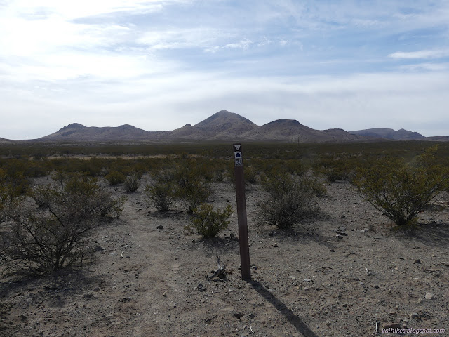
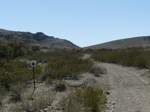
The previous travelers warned to stay on the trail for a short way to get past the range fences. Once next to the water cache, I found myself wondering which faint trail was the correct faint trail. The late starter pointed out there's some nice, big signs to follow along. I was looking at their backs, but they were still easy to spot, just hard to read.
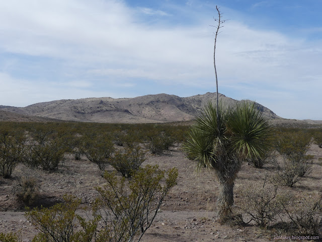
It wasn't long before I realized I had already navigated the range fences in question, so I left the line of footprints in the dirt and turned toward the nearly regular shaped mountain. There's a little more to it and I picked out a route along valley, then ridge, to walk up its side.

I managed to keep pretty well to my plan as I walked up the mountain. Old cattle trails made some spots a little easier. There's a lot of area with cows, but not many cows total. The land just won't take much. The paths aren't quite so worn in as some places.

The day had warmed and wind slowed such that I wanted my windbreaker off. The New Mexico dust has made this an ordeal. I once saw and was puzzled by the fact that there is such a thing as zipper lube. I resolved to get some as I spat on my zipper to get it to slide another inch, then finally pulled the whole thing off over my head even though it's a full zip. Then I had to deal with one more range fence. There's no gates, of course, so I had to find a spot I was willing to navigate. Five rows of barbed wire is always fun, but I found a spot where it was high enough to slither under after dropping my gear over it.

I got walking, climbing into a zone of scrub oak before reaching the top.


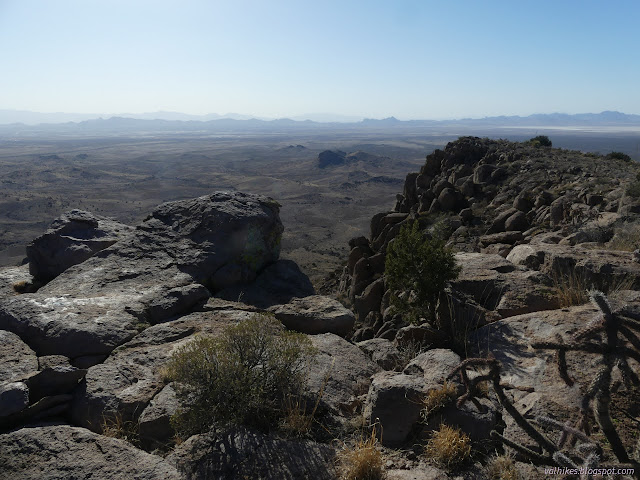
The peak is elongated with a slightly lower bump a hundred feet or so southeast. I walked over and pondered the solar powered something sitting on it before returning to the top and flipping through the register and watching the butterflies and completely neglecting to find the geocache. One local had brought a couple girlfriends up and, some 12 years later, brought a few kids up, so there was a little story in that register.


Then I headed off over the smaller peak once more and down the south side. This is a much steeper slope, but I managed to miss the cliffs. I still got into some scree and even settled into some plunge steps. The scree is all different sizes and, for the most part, didn't support that sort of stepping.
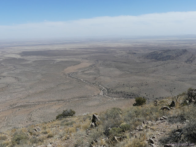


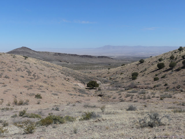
Eventually the slopes mellow out and I only had to battle the occasional small but deep wash channel as I navigated my way to the range road that is the CDT through this area. I got on it, but didn't go far. It takes a sharp corner at a coral with water, but I continued past it instead, heading up a small canyon past Rockhouse Seep.

I was only able to find some infrastructure, but no seep. It might be piped, the source for the water at the coral. I saw none of the piping. There is a bit of canyon and the cattle trails are well established for showing the easiest way through.
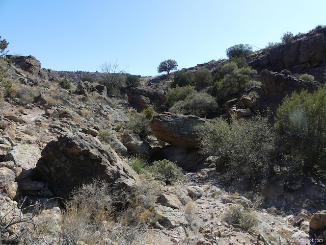

The wash doesn't last much longer and I had planned travel up one of the ridges. I picked a route, then stayed in the wash just a little longer than desired to navigate one last range fence. They seem to be easier at washes, sometimes not even requiring pack removal to get past.

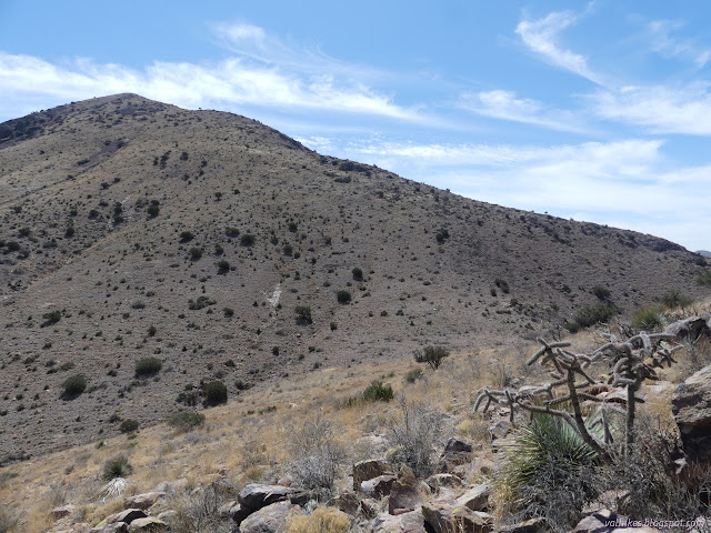
I had faint trails up the ridge toward the mountain. Most of the way was easy country, but I did have to navigate my way down a small band of boulders to a saddle before the last climb to the top.
I had to admit it was getting a little last to be going up the peak, but there was still plenty of time to be back on trail before dark, at least. I kept going.

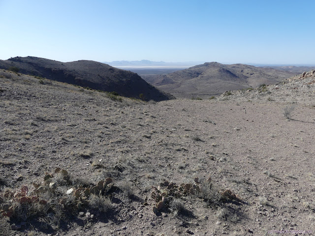
Rimrock Mountain is a little more determined about its cliff bands. The south side of the mountain drops away. Crevasses split the long peak into three points that might all be the highest. I visited them all and suspected the first was the highest. Someone had left a register there, but I was the second signer to it after them. I found no others. I did finally remember to check for geocaches and had missed one on top of Pyramid. Doh.

I had plans for one of the more westerly washes off the mountain for my return at first, but decided to try out the rather good trail heading east from the saddle. I was somehow certain it would be headed my way. It randomly became very faint, but I kept finding it again. Another came up from the south, so there were other destinations to be had. I did very well until the boulder maze down into the wash. That took a bit of scrambling as I went through a couple places the cows certainly do not.

Once back in the wash, I knew where to find the good trail back to the coral and then the official trail back to the car. At least I thought I did. It was easy enough to follow the trail as it followed road. The signs did seem to have a tendency to follow old routes that had sometimes been abandoned due to erosion. Sometimes I followed them, sometimes I went on the new road route. The footprints showed that others are similarly inclined.

I'd been getting told that the through hikers can't be bothered to show bits of this part of the CDT when they, say make a video. I guess I can see why if they end up staying as low as this part does. It really doesn't compare to being up the mountain.


It was getting a bit dark as the trail left the road. But it would be easy because I'd walked it already... except I hadn't walked most of it. Distinguishing one path from another became very hard as I lost the light. The signs are reflective, but they weren't close enough together that I could see the next when I stood next to the last. I kept being off by a little or a lot once I finally did spot the next. Not that it especially mattered.

I did eventually get to that little bit of trail I had been on and the previous passage did help find it as it got to the water cache, the fences, and the approach to the road.
*photo album*
©2022 Valerie Norton
Written 4 May 2022
Liked this? Interesting? Click the three bars at the top left for the menu to read more or subscribe!


Comments