Hachita Peak
Las Cruces District BLM
(map link)
The only thing in the New Mexico bootheel area I can find on AllTrails are a couple routes added by a local (to the state, at least) peak bagger and the bike route for the Continental Divide Trail. Even the "community content" tab is pretty sparse and not useful. Of one, he says there's mining history to pass, but no actual trail. It looked like a nice loop, so I decided to give it a try, give or take. Little Hatchet Mountains Road is an unpaved county road and currently in pretty good shape as far as I took it, right now, discounting the spots where I felt like I was swimming in a bit of sand. I got just past a windmill to the next wash and hit the brake rather than crossing, then found I'd already passed the parking spot I was aiming at. The windmill has parking but is technically on private property (by Caltopo public lands layer), so I parked a little further back at a 4x4 road. It was generally hard to get off the maintained county road to park, but once up the 4x4 road a few feet it was easy to park.
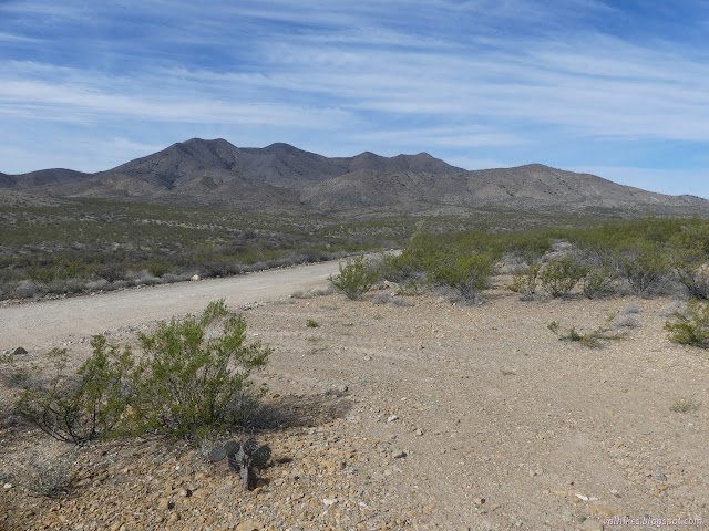
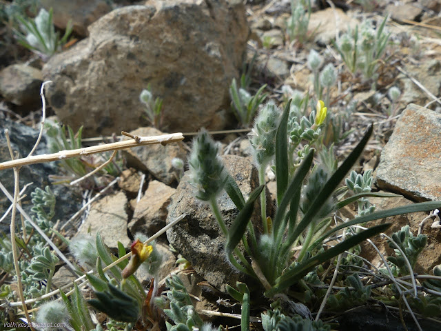
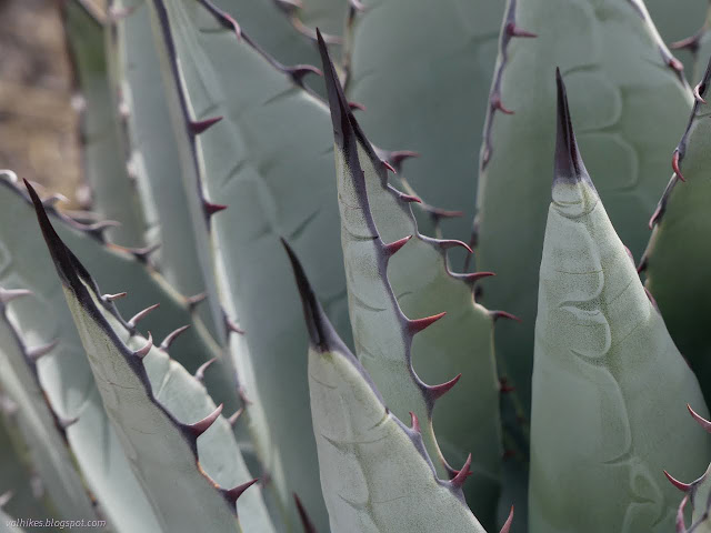
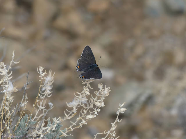
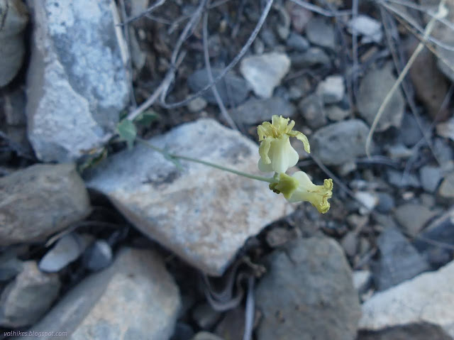
I started the road walk portion of the day aiming at an old mining road that climbs more than halfway up Hachita. Walking that first wash crossing, I found that it would likely have been find to drive. However, the road drops right back to the wash and follows it after a short distance and that section would be a good place to get stuck in sand or clobber something vital on a rock. Not small car friendly. I found flowers blooming and decided that since there wouldn't be that many, I should try to record them all.

Just short of the mining road, I thought I heard a motor. Coming along the road the other direction was an actual Bureau of Land Management ranger. There's such a thing! He insisted on a chat. Making sure I'm not up to nefarious activity or hoping I'm not about to need rescue on a day predicted to go to 85°F? I assured him I had enough water to get up that peak behind him and he asked where I was parked. He was the only person I saw the whole day, even at a distance.

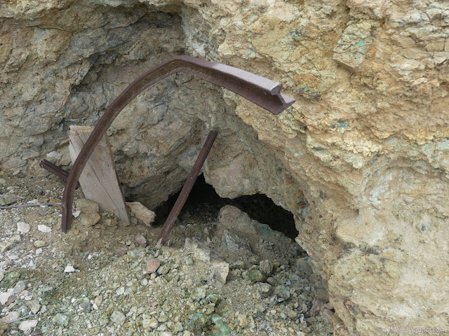
The mining road was smooth just far enough to get to a nice dispersed campsite. After that, it was very decidedly 4x4 as it climbed the mountain to some mining claims that might have been worked in the last few years. There were more wildflowers growing in its grooves.


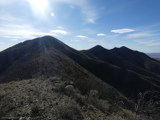
After crossing over to the ridge, it looked like there might be old road down. Maybe I could have shortcut some of the road walk. I turned up. There was old road there, too, or at least a pair of bulldozer tracks. They combined quickly, then it all climbed in increasingly obvious old road. At the top, it split again to make a nice loop. I had climbed most the way up the mountain by the time it stopped.


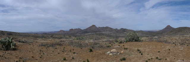
At the top of the road loop, I found a rather distinct trail climbing further along the ridge. It wasn't long until I was up to the main ridge of the mountain and a new view. There might be more interesting mining history on that far side, or at least more interesting artifacts.


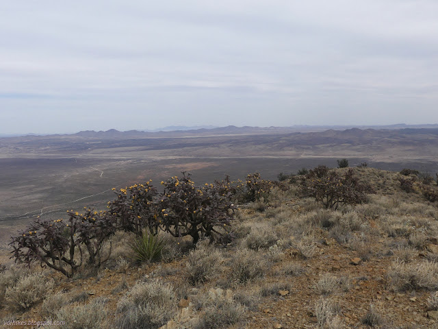
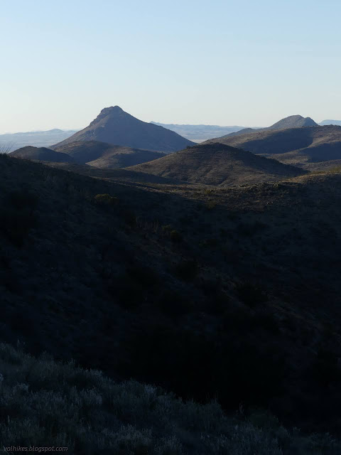
I found more trails continuing to climb, but they all resembled cow paths. There were distinctive trails coming up from the far side that looked to be people caused and there was even a gate in a fence for one. I started moving into a different vegetative zone as scrub oaks and mountain mahogany started appearing.
I passed prospects on my way up the ridge, one quite large. I worked my way around the little peaks on the way wondering if I perhaps should read the reach for the benchmark up ahead and see if maybe I'm passing by the azimuth mark. Sometimes there isn't any and sometimes it is in a rather random spot, but sometimes it is on a nearby peak. I didn't and kept on around the sides, so instead of going over where, indeed, the azimuth was, I passed through a stand of spiny trees still in winter's apparent death. They caught my eye as they resembled mesquite, but with a redder bark, and seemed to indicate a different hydrology for the immediate area.

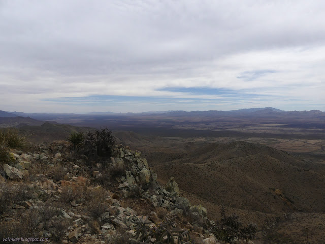
I arrived at the top and the wrap around view and it wasn't quite as sunny as I had expected it to be.


I finally read the information about the benchmark. While the station did not originally have other marks in 1917 when it was placed, references and azimuth were added in 1938. I followed the instructions to find those references, then pondered the azimuth. I was feeling good and the peak is supposedly only 129 feet up from the saddle and back would only be about 20 feet more and I don't get nearly as many azimuths as stations and references. I decided to go for it and backtracked to the top of the last peak.


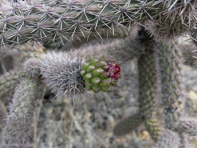
Finding the last benchmark in excellent shape, I headed back up to the top of the real peak once more. With each pass, I found a new cactus I'd not seen along the hike so far. One feels like one is not very observant when passing along the same stretch, the second time in the same direction, and seeing something new. None were yet in flower, so I wasn't falling down on documenting all of those.

Then I headed down the other side. There's one more peak and from its top, my path diverged from the suggested route posted on AllTrails. It was on purpose, it looked more direct to where I was parked, but I soon found there were rock bands to navigate. Looking across to the other ridge, I saw none. Only one took a little extra effort to pass.


There weren't that many rocky bits to navigate down. I hit the top of a fence and decided to go along the west side even though that would mean crossing it later. Presumably the cows can't go higher than the top of the fence and the dung and trails I saw higher are figments of my imagination. I kept to a plan of some specific ridge lines that would dump me into a wash that would get me to the main wash practically at a trough access that would get me right to the car.


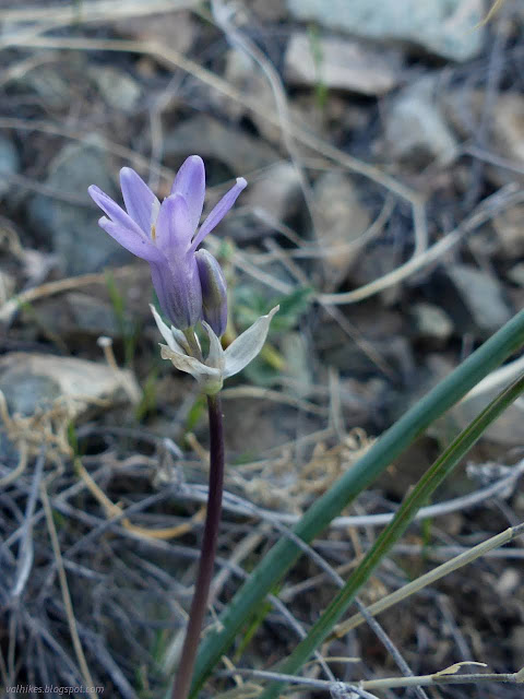

The transition into the wash was very smooth and easy. It wasn't hard to get under the fence when I encountered it. I zoomed along in the lessening light and eventually the car really was right there. Oh, and they may be small, but there are quite a lot of flowers out there.

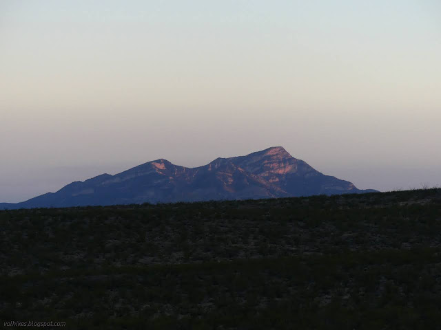
*photo album*
©2022 Valerie Norton
Written 26 May 2022
Liked this? Interesting? Click the three bars at the top left for the menu to read more or subscribe!


Comments