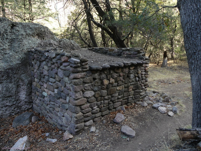
Explosives Shack on Cave Creek Nature Trail
Coronado National Forest
(map link)
I still had a couple hours of light left, although in the east facing canyon, it could be somewhat shadowy light. I spotted a "ruin" icon on my map which happened to be labeled "explosives shack" and wondered what that might be. I parked in the small space across from Stewart Campground (closed, but the season is coming soon). Signage for the Cave Creek Nature Trail is minimal at this location.

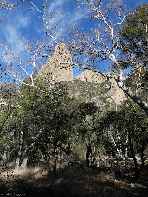
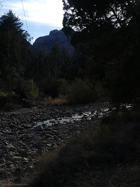
The trail follows along near the road, which is one reason I had not bothered with it so far. The birders find it handy, and that is probably what makes it a "nature trail" because there is none of the interpretive signage one might expect. I turned west. The road crosses the creek in that direction, so I soon had the water between myself and the cars. There was a little water flowing above ground along the stretch I walked, which wasn't the case everywhere. (It was dry by the visitor center.) Initially, I was under trees with little view of the surrounding canyon walls, but further on there are spaces the creek has opened up.

I even spotted some caves along the way. There seemed to be some possible faint trails up to the caves, too, but they might require a little scrambling to actually see up close.


I got to the "explosives shack" and didn't think it quite qualifies as "shack" or "ruin". It is certainly no longer being used and there is some small degradation to it. Likely it is best to designate it as such. The door was unlocked and swingable, so I could even have a look inside. There was nothing left of the original use, not even a strange odor that I could detect.


Having found and looked over my objective, I turned around and wandered back the way I'd come. It was a quick little walk and would have been even quicker from Sunny Flat Campground.


Then back to New Mexico to play at construction. It's not that I'm quite starving yet, but I certainly haven't figured out how to make the work on this blog pay and I'm learning something, like how to (try) to build for New Mexico such that no air conditioner is needed. It doesn't leave a lot of days for hiking and evenings can be spent rather tired, so content will dribble in a bit. Maybe one day I can figure out how to get some sponsored exploring, particularly of the places that aren't on anyone's radar. That's not a thing, is it?
*photo album*
©2022 Valerie Norton
Written 28 Apr 2022
Liked this? Interesting? Click the three bars at the top left for the menu to read more or subscribe!


Comments