Posts

Lead Mine Hills and Provo Tufa

Image
Salt Lake Field Office BLM Wells Field Office BLM ( map link ) I wasn't satisfied with the hike up Mount Pisgah as a hike next to the alkaline desert because Ferguson Mountain sat there blocking a lot of the view. Meanwhile, there is tufa at the Provo level of Lake Bonneville and I was interested in seeing some of it. The only information I had for that was walk around and you'll find it. The Provo level was around 4740 feet, which is higher than Blue Lake, but lower than the top of the Lead Mine Hills. I found a spot to park at the fence for the Air Force bombing and gunnery range a little below 4400 feet and aimed at exploring my way toward the Ferguson benchmark at 5565 feet and then the high point at 5661 feet. Ferguson benchmark at sunrise. Are any of these structures around its feet the Provo tufa? USAF Bombing and Gunnery Range. I was pretty sure none of my peaks were within this since it ends pretty quickly. Expecting this part doesn't get much use sinc...

Blue Lake Wildlife Management Area

Image
Utah Division of Wildlife Resources ( map link ) Out near the edge of miles and miles of flat flat flat desert is a bit of water. A pond. A pool, really. A fairly deep pool, in fact. Deep enough to attract scuba divers. I saw some with an electric pump that only allows them to go about 15 feet deep and others with actual tanks to go all the way, 60 feet down. They came with little spears and fishing poles to get fish. There's even scuba classes that come out to the lake. Sign for the little piece of state land among a lot of Bureau of Land Management and Air Force land Follow the boardwalk from the sometimes muddy large parking area Saffron winged meadowhawk Blue Lake becomes visible I found distractions among the plants beside the boardwalk as it approaches the water, especially in the big pods from the milkweed that were letting their seeds disperse.

Mount Pisgah and HawkWatch

Image
Wells Field Office BLM ( map link ) I wanted to hike something at the edge of that vast, salt covered desert, so wandered down US-Alt-93 to access the Goshute Mountains with particular thoughts of hiking Goshute Peak itself. I missed that turn, but got the turn for my second choice, Pisgah Mountain. There's a geocache at the top of it including a description gushing about a grand experience with the folks from HawkWatch International that inhabit the top at certain times of the year. The road is best found by the wildlife viewing sign and highway maintenance station. From there, it's 5 miles of dirt road and 3 miles of trail. Turns out, the first part isn't suitable for my extra disabled Scion pulling a trailer, and the last mile or more isn't suitable to the Scion at all. (I couldn't get enough grip to climb the hill with the extra weight and it gets very rough at the end.) I turned onto a random bit of very old paved road (a piece of original Lincoln Highwa...

Bonneville Salt Flats

Image
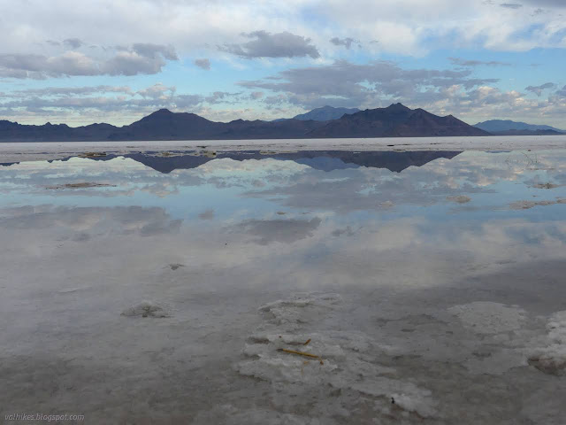
( location ) I meant to have a look at the Great Salt Lake as I drove by, and how could I not? I-80 rides right on top of it for miles. But I came across in the dark in a torrential rain. When the 18 wheelers passed, I couldn't even see the road in the splash. I could smell it. Oh, what a stink. I read about the Salton Sea before I started this trip in February, how it comes and goes and when it goes, it is a ecological disaster as it becomes too salty for the fish that somehow came to it. This seems like at least a little of that stink, which is odd because I thought it was too salty for fish. So having not seen the lake again, I got up with the first of the light and started heading west across the first stretch of desert with the sun rising in my rearview mirror. I stopped for breakfast at the rest area about ¾ of the way between ranges. (Compare and contrast wandering across most of the desert before breakfast with Mark Train's account of coming across a very similar ...

Yellow Pine Trail

Image
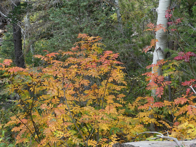
Uinta-Wasatch-Cache National Forest ( map link ) I wanted one more leaf peeping stop, so pulled into the Yellow Pine Trailhead. I must admit, the canyon had looked a bit grander where the trails tend to be built for ATVs, just a little before getting here. This is another trailhead that requires a Mirror Lake Recreation Area permit to park. There were quite a few vehicles parked there already, but many of them were actually there for a recently completed Slate Creek Trail, a one way loop trail for bicycles. I pondered it and discarded it. (Hikers are allowed, and even may go the wrong way.) With expectations of plenty of rain in the afternoon, my plan was simply to go until the rain started, then turn back. It would be really cool to get to either Yellow Pine Lake or Castle Lake, but it's not quite so nice when the views are grey with rain. A good place to start I decided to set both the GPS and the phone (using the Peakbagger app) to track the hike so I could compare an...

Provo River Falls and Slate Gorge

Image
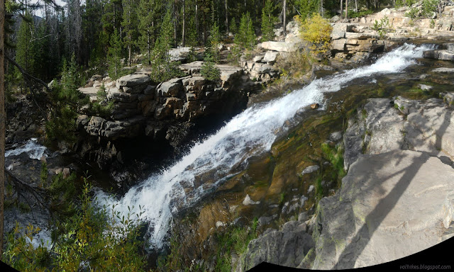
Uinta-Wasatch-Cache National Forest Provo River Falls ( location ) The sign for the falls seemed to be pointing at an iffy turnout, so I ended up hitting the brakes hard to make the actual turn into a paved lot with a bathroom. The parking requires a recreation pass for the Mirror Lake Area. (The turnout would not, though.) There's a couple signs about the importance of the area as a water source. The falls aren't a far walk, but there is a hill and some rough patches to get there. It's paved, but not accessible. Upper level of the Provo River Falls Patterns of erosion in this rock by the Provo River More of the upper falls, including parts hidden above I was expecting hard rain sometime in the afternoon based on weather I'd managed to download near Ruth Lake and again on Bald Mountain. The clouds seemed to already be getting set up for the deluge. It certainly wasn't ideal for photographs. Still, being there, I might as well keep going. There'...

Lofty Lake Loop

Image
Uinta-Wasatch-Cache National Forest ( map link ) Lofty Lake Loop was just too alliterative to pass up. The trailhead requires a permit for the Mirror Lake Highway Recreation Corridor like much along UT-150. I decided on a counter-clockwise direction because that would get me most quickly to the "ice caves" someone marked on OpenStreetMap. There's a big kiosk of information at the parking lot, but the Lofty Lake Loop trailhead is only marked with a little sign. The exceedingly clear trail climbs steadily toward a pair of lakes and Camp Steiner, which absolutely everyone actually calls "the Boy Scout Camp", some with an acknowledgement that the designation is out of date. Trails and an old road come up from the camp and all of these are marked with little metal signs. The casual hiker should be able to make all the correct turns even without a map. Picturesque Lake and a pond at its south end and "East Lofty Peak" rising behind But first ...

Bald Mountain

Image
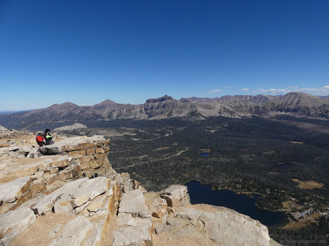
Uinta-Wasatch-Cache National Forest ( map link ) Parking at the trailhead for Bald Mountain requires a permit for the Mirror Lake Highway Recreation Corridor. There's a pair of trails that leave from it, but I was planning on the one that most the other cars were also there for. Trail on the right with other choices to hike (Notch Mountain) to the left. It's not the end of the flowers! There's still a couple harebells among the wispy dried remnants. Autumn colors on the Provo River's valley. I headed up. There were people ahead, people behind, people passing frequently on their way down. I didn't want to take too long because the weather wasn't all that cooperative at the end of yesterday. So far it didn't seem to be making any threats.