Mill Creek mill
Del Norte Coast Redwoods State Park
Click for map.The map says "former mill site" and I was curious. The sign at the bottom of the road said only open on weekends, so checking on it the previous evening did not work. The gate is open now and up we came to the end of public travel on the road to where there is a large parking lot surrounded by blackberries. There is something large across the creek from the parking area, but the blackberries on the steep banks do a rather good job of blocking any direct access. Roads are supposed to curve around to there, so we start up the road past the gate.


Mills generally kept a small grove of old growth trees nearby and we are walking at the edge of the one that was kept here. There are big stumps off to our right a short way off the road, but none further than about 50 feet. Some big trees can be seen high on the hill. A road breaks off to continue along the edge of the older trees as the paved road turns to cross the creek.


The road splits again to follow the creek. Trails further on follow the network of old logging roads that edge along each hillside at a regular spacing to allow access to the trees for felling. Straight ahead is something that looks like a fire house with the addition of trash cans as though this was also public parking once. To the left side of that is some old housing that looks to be partly used still. Past those, and a garage and then the buildings start to look a little more mysterious.
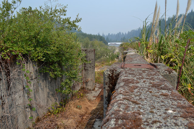


Wandering further around, there is another bridge to cross the creek. A road continues downstream. Out of curiosity, I give it a short look around, which comes to a marked trail junction between the high route and low route of the Mill Creek Horse Trail. Not for today, I turn back to circling through the remains of the mill.


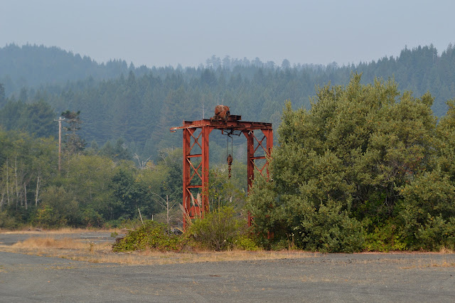
Passing by the young or undesirable trees beside the road, there is a little trail down to the creek. Another curiosity, but much less official, which I follow. It drops down near the confluence of the east and west branches. Each branch seems to have some kind of an electric fence set above it. The confluence is much more like a big pool than usual. Beside it sits another remnant of the mill.

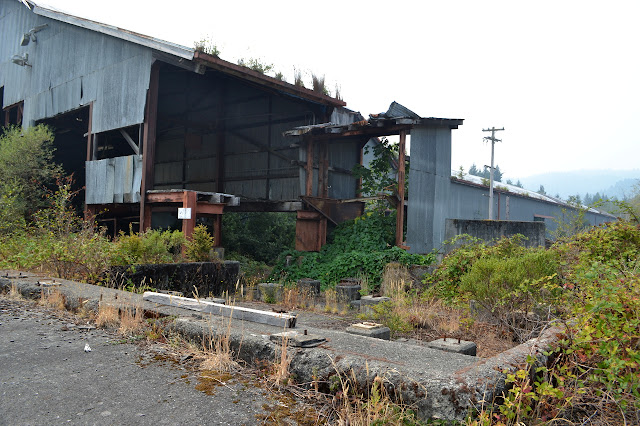
Climbing back up to the road and continuing around, there are some more structures from the old mill. This looks like it may have been the mill itself. Cut trees that were never worked are still stacked on the large paved areas around it.


Continuing past this, the road continues to a gate and the public road. I follow it across one more bridge on the same route we drove in to get to the large lot. It is a green and pleasant finish to the walk, especially as no one takes those moments to drive by.
©2017 Valerie Norton
Posted 15 September 2017
Liked this? Interesting? Click the three bars at the top left for the menu to read more or subscribe!


Comments