South Siskiyou: Baldy Peak and Harrington Lake
Six Rivers National Forest
Smith River National Recreation Area
It rained during the night, but I was nice and cosy. Knowing everything on my feet was just going to be wet soon, I pulled on the same wet socks and shoes from the day before. The morning wasn't as cool as I had expected and the water wasn't cold at all, but it was a little deeper than I thought. Finding stable places to put my feet among the big rocks was difficult and made it a slow crossing. On the far side, I promptly lost the trail. There was the suggestion of something by the sign, and then it was really a matter of too many choices. There should be three. Somewhere the secondary trail up Buck Ridge follows up Harrington Creek to cross right back over before getting serious about climbing, if the one map with it marked is to be believed. Gunbarrel Trail makes a quick getaway from the wilderness after crossing the river. South Kelsey Trail winds up the ridge in between. My first strong candidate for trail climbed up into the dirt of the hill and split, both sides looking like well trod trail. I guessed right and decided to explore just a little bit left to see what the river crossing looks like today, but the "trail" quickly turned into a steep climb and vanished. It did put me in a place where I could spot the ribbon below that indicated another trail option was the one. The first I tried might be game trail, but the one by the ribbon could just be river erosion.
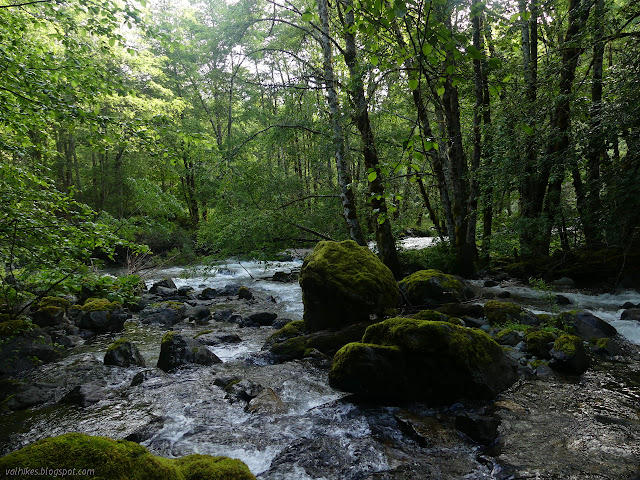
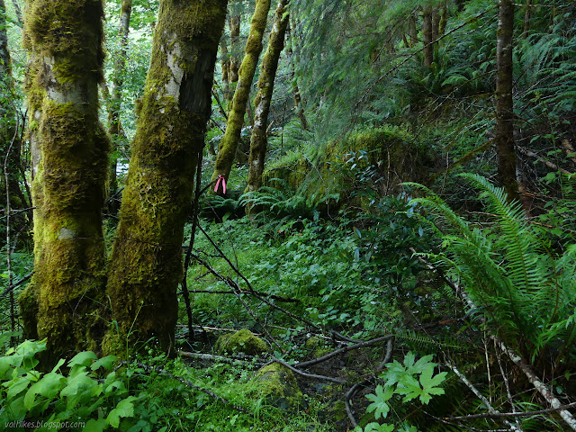
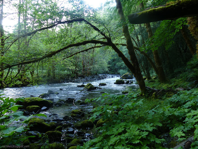
Another ribbon marked the way further down and I spotted a third on the far side of the river. It was a very far side. The wilderness boundary actually bends around to give room to place a bridge at the crossing but it just looks like 100+ feet of churning maybe deep water to ford to me now. I spotted one more ribbon along the side of the river and continued upstream. Past it, the way got really rough and I started to suspect I had missed the clue to start the climb, so I headed back by the ribbon and started up a trail just before it. It turned to animal trail, but by this time I was just going to go with it and find the trail later. If it was there. The land leveled off and gave me a creek bed looking much like an old mule road might look. I followed it to where it was collecting the water and further and suddenly there was proper current trail coming up from further upstream. I went to go see how it was below, but stopped at the first log. The hill wasn't too much effort, but stepping over a log was. I turned and started to climb.

The thing swung back around toward Harrington Creek for a huge waterfall view and then really started to climb. An open area (Gunbarrel Slide) looked like it might be a good spot to camp and I wasn't the first to think so because I found a fire ring. I expect normally one has to bring water up, but I found a small trickle just past it on this pass. I could have got both wet foot crossings behind me after all. It had been getting late anyway.

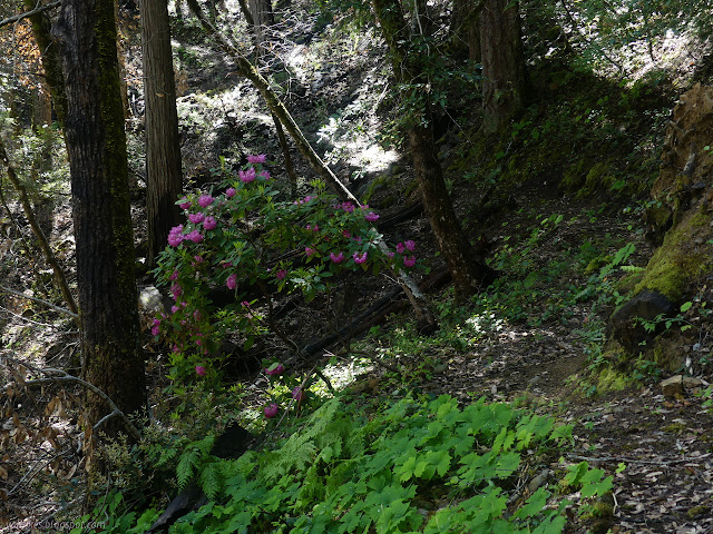
I passed a few more rhododendrons and the forest turned from the cedars (or were they cypress... the Bigfoot Trail guide would tell me) to a mix of madrones, Douglas fir, and tanoak. I found myself with too many trail choices again, although this time I suspected they were all correct for the trail once. I took the route past the old blaze and a fair bit of tripping hazard little trees as I continued upward. The splitting trails joined together again, seeming to verify my suspicion.

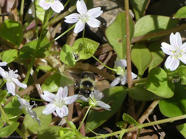
In spring, there is a very distinct passing backwards in time for walking higher or to more sheltered areas, so earlier flowering plants might be seen. The still blooming dogwood was a bit of a surprise all the same. Eventually, I started to see the evidence of burn. I was expecting this too. It is what makes the trail difficult over the top of Baldy Peak, or did a couple years ago. This year, the trail remained distinct and easy to follow all the way up. There is still a lot of burn.


The burn got worse as I went along. A few trees killed became most the trees killed with a few regrowing from their roots became everything killed. I eventually moved from destroyed forest to destroyed chaparral. The trail must have been worked since then because the was very nice and flat and wide.


I wsa getting concerned about the small chance of rain and the minor towers in the clouds and the way it looked like the most likely place for that rain (and maybe a little more energy release) was up on Baldy Peak and it was definitely raining on the far side of the peak. Nothing became of that concern as the storm, such as it was, retreated from the top as I continued on.


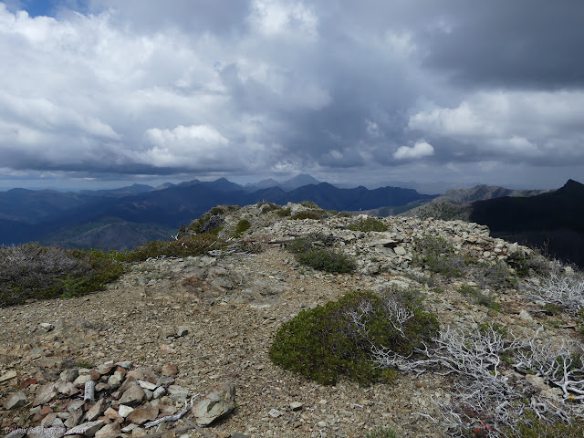
I checked out the old fire lookout location. There are bits of wood and metal and flat pane glass scattered all over. I'm not sure why there is a square of rocks, they clearly were never mortared into walls, but there are old securing struts at the corners and a section of the Faraday cage that helped protect occupants from lightning strikes. The dimensions are quite small. Then I looked over to see a puff of smoke emanating from an area on the way to Harrington Lake. I tried to ignore it for a bit and it actually went away. Maybe it was just dust from a falling boulder or the happenstance of cloud.


I turned to go down the other side and found the trail a bit harder to follow. The forest there was standing and devastated. It looked like someone had been digging prospects. Once off the mountain and on the ridge, there were some sections that I followed cairn to cairn. The suggestion of a track and the cairns were enough for a while. I had meant to maybe have a look at Bear Wallow where the map shows a shelter, but looking down the hill of fire killed trees made that undesirable. I continued mostly following the trail until I must have missed a switchback on the flank of Stevens Mountain. I expect it was sometime before an old ribbon in a tree along my trail which seemed increasingly like a deer track. I tried backtracking, but that ribbon was fooling me. I made a long careful way down steep hill to find rather good trail below me.


The trail crosses the headwaters of Harrington Creek where the forest fared a bit better. It is pretty around there and people have set up camps in the area. The trail got harder to follow, but there was flagging. I followed maintenance and a bit of flagging around one way and up again only to find that from the other side, the majority of maintenance had gone another route from that side.


The climb up to the lake is a little bit direct. Just short of the lake, I found a sign for the junction and ribbons marking all the ways. That gave hope that Boundary Trail was really there, but first to look for camp. I only found one spot that was right next to a huge cairn marking Boundary Trail and there might be one more down along the inlet. The options weren't great, but since I passed everyone going out the day before, I was pretty sure no one would be bothered with whatever I chose.


I pondered if I really wanted to climb Harrington Mountain in the morning and decided the saddle would be a nice spot for the view, too. Since Boundary Trail seems to stay down on the west side of the ridge for a long time, so it would be a view I wouldn't see otherwise. No more rain was expected, but I set up the tent to let it dry. There weren't many mosquitoes, but but it's nice to have a barrier against them too.
©2020 Valerie Norton
Written 11 Jun 2020
Liked this? Interesting? Click the three bars at the top left for the menu to read more or subscribe!


Comments