South Siskiyou: Summit Valley Lookout and back along South Fork Smith River
Six Rivers National Forest
Smith River National Recreation Area
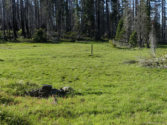
I packed up and got myself up to the meadow next to a sign post with just a few splinters of whatever sign was once there. I wondered where out there the rest of the trail was. The map hints off to the left and I thought I saw a hint, but that was wrong. I noticed another camp site as I wandered a bit more. The pile of rocks was a somewhat flattened large cairn with a pointer and that way lay trail. I could see the dim remains of switchbacks up the hill, but mostly it just went up. Once it leveled off, there was more difficult, but not impossible, trail to follow through the falling dead trees near the top.

There was a nice big, dry area that could have been a nice enough camp on the way. I took a spot full of cairns to be the junction between spur to the old lookout at the top and the rest of the trail heading down the mountain to the river. There is the choice of really nice spots at the top around the old lookout, at least as long as the wind isn't blowing too hard.
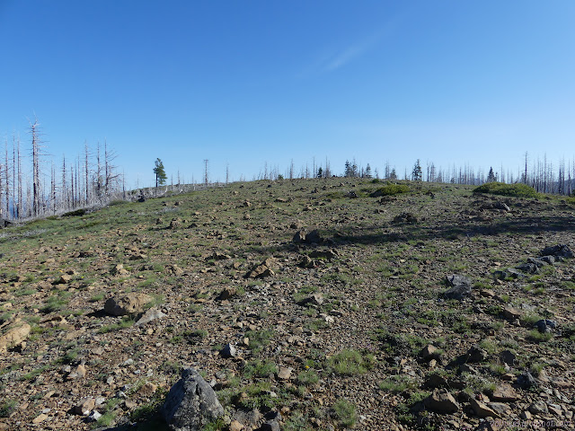

The view from the top is quite expansive. The current lookout on Baldy Mountain must have a similar view from its not quite highest perch.
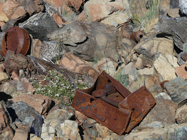


I headed back to where I thought the junction was, but never actually found the trail leading down around the side of the mountain. I pushed a little down the side to see if it was below and the brush was just getting difficult. I headed back up to where I could walk in the right direction, and just found myself right back next to the square of loose rocks marking the former lookout site. I figured I might just have to make my own way down the ridge for the next couple miles at least and went over the side into a stand of trees where there was no undergrowth so walking was easy. I found flattened chimney pieces and followed the little game trails down and generally west since there should be trail over there. There was. I came upon very obvious trail wrapping around the mountain just as it should be. There were plenty of trees down, but the trail was very clear under them.


There were quite nice views where the trail hits the top of the ridge again. I was a little worried that the trail would fade, but it was still clear. As it finished the ridge, I hit a long stretch with lots of little trees down. Even if I couldn't see the trail, the cut between them was unmistakable.


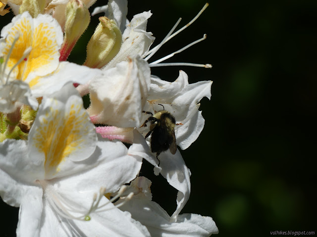
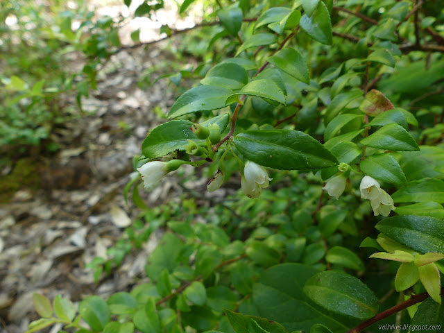
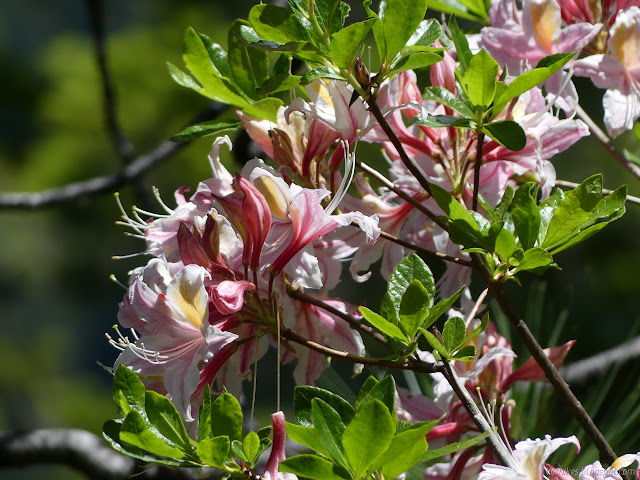
Down the hill, I found rhododendrons and azaleas. They covered the hill, but many of the bushes weren't in much bloom. Still, it was the best show so far.


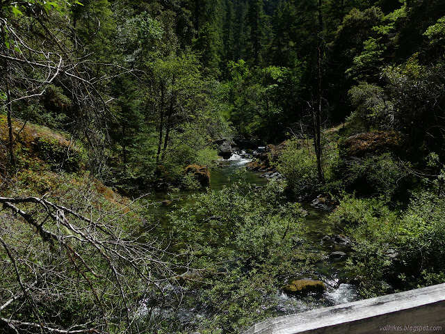
Past some seasonal streams that weren't there and streams that were but not marked and one sketchy twenty feet of trail, I made it to the well used trail thinking that folks were missing out if they never went up the hill at least a little bit. It would be nicer if someone with a six foot saw wandered through first. There were some particularly big trees toward the bottom. I headed back feeling like there were a lot more places to see the river when pointed downstream.


I really had gotten myself tired and sort and generally overworked over the last few days. The trail cut into the cliff that didn't bother me at all on the way out made me uncomfortable on the way back. I expected somewhat short days made harder by fire damage by splitting up 45 miles over five days. The GPS claimed 60 miles before I finished.
©2020 Valerie Norton
Written 14 Jun 2020
Liked this? Interesting? Click the three bars at the top left for the menu to read more or subscribe!


Comments