Wooley Creek: past the North Fork
Klamath National Forest
DAY 1 | DAY 2 | DAY 3 | DAY 4
Click for map.
(Day 3 of

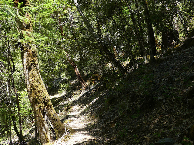
I made an effort to protect the electronics from mishaps, then started across trying not to have any. There were some gravel spots, particularly behind large rocks, that made it easy to navigate, but there were also plenty of low big rocks to step over. Stepping on an underwater moss covered rock is just a good way to slip. There wasn't much current to deal with. I made it across wet just over the knee. The trail teased me by having a faint section, but it is really quite well established. I was definitely navigating more frequent trees across the trail and even had to break away the branches to make it through a couple times.

I ran out of want just a half mile further. I was pretty sure there aren't as many random hikers with little saws making their way along this trail than there are along Bridge Creek. I came to a more difficult tree and just couldn't even bring myself to figure out if there was a way. I'd already had to make my way around or over two logs in the three foot category. If that was the first half mile, what will the rest of many miles be like? I wasn't even going to get to the split for the loop for a mile. I decided the ruin by Deer Lick Creek was my destination for the night. I turned back.


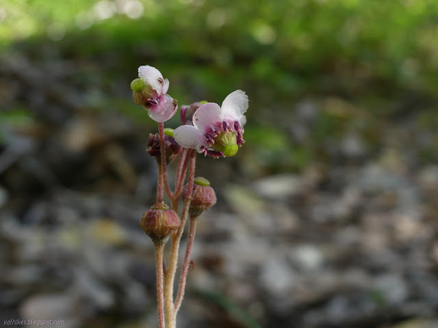
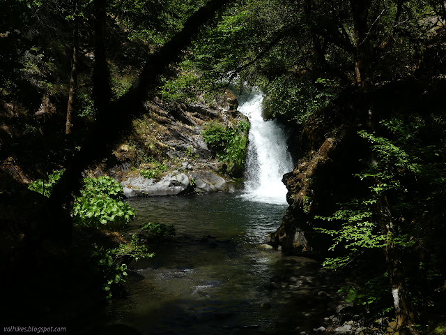
I hadn't even spotted the tiger lilies at the side of the trail where it hits the creek. They stood taller than I've ever seen the little lilies stand. Trying to be big as the Humboldt lilies? I gave them a good look over while the water drained once again from my shoes after crossing the ford a second time in less than an hour. Oh, the futility of it all.

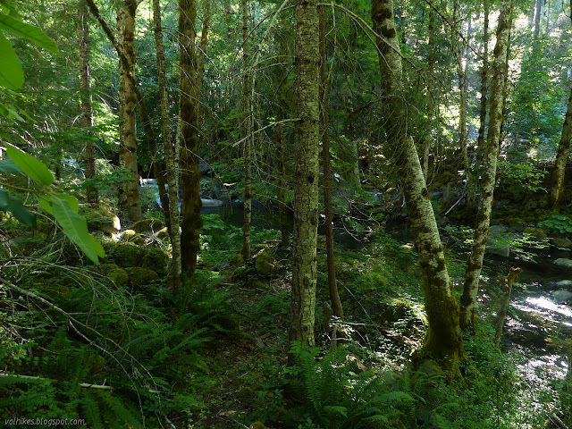
I was never quite certain of where North Fork Camp actually was, but there did seem to be an old trail staying close to the creek while the current trail climbed away to cross the north fork higher up. I continued down without looking too hard. I had a seat on one log and found myself looking at an old fire ring that was once well used. Now, the area is badly damaged by fire and covered in fallen dead branches. Looking around, I found the paths cut to get down to the creek. It was a popular place once.


I was feeling a bit too warm as the day wore on. I should have been at 6000 feet but was under 2000 feet.
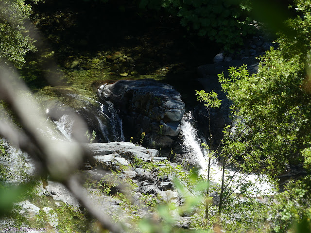
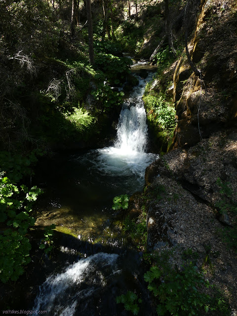
I noticed a bit of old, abandoned trail just after I'd seen the deer the day before and decided to take it. I'd also seen a bit of a waterfall that I couldn't get a good look at. It wasn't much to look at once I did get a good look.


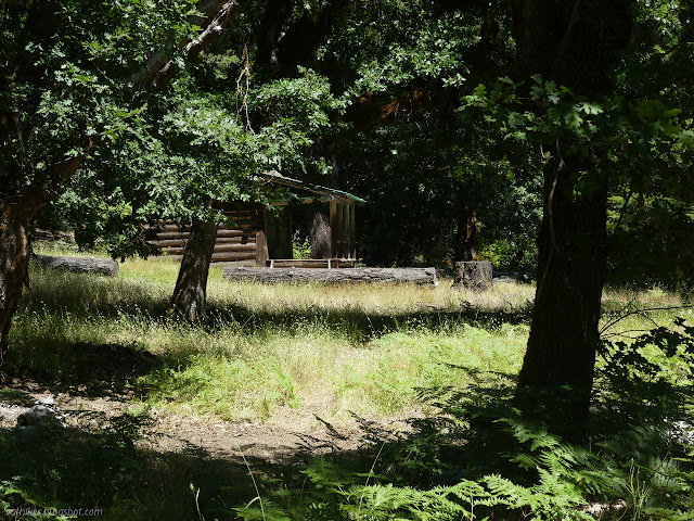
I got back to the cabin and kept on going. I might have decided to succumb to the strains and annoyances brought on by the hike along Wooley Creek and trying to get beyond, but I thought I would get somewhere else and use the rest of my days there. I didn't really want to quite do all the trail out, but did want to be pretty close to finishing to give myself a better chance of getting somewhere nice after.
I checked more closely for the trail up to Black Mountain as I passed. I found old cuts through big trees that looked like Wooley Creek used to pass a little higher through there, but no evidence of a climbing trail.


I stopped with each mile to let my poor feet rest. They weren't happy. The look on my face while I did must have been sour. A guy coming up practically insisted I tell him what was wrong before clearly deciding that people should be simply allowed to be as I insisted that my feet hurt and so it goes. I found the ruin empty, got water, and sorted my food. No more ticks. I was feeling more comfortable existing under my no-see-um veil, so the mosquitoes weren't adding to my spots too badly. I wasn't yet breaking out into poison oak rash. Things were, well, maintaining.
Continue to the next day ⇒
©2020 Valerie Norton
Written 9 Jul 2020
Liked this? Interesting? Click the three bars at the top left for the menu to read more or subscribe!


Comments