Dragonfly Route
Gila National Forest
Click for map.
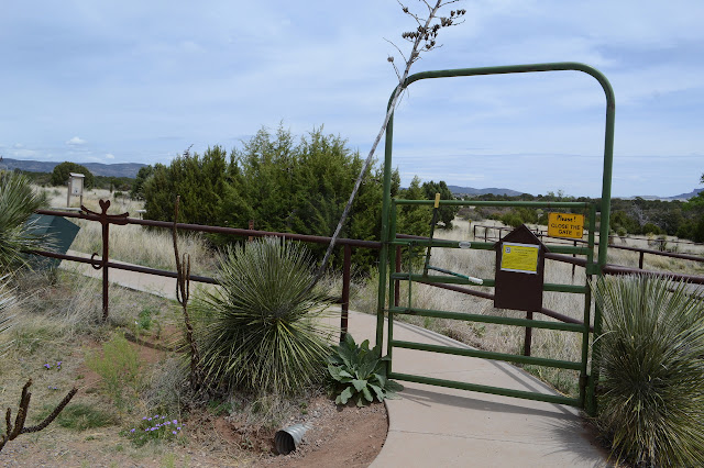
There are other destinations to be had starting at the Dragonfly Trailhead, but the claim to fame is clearly the petroglyph somewhere along a loop of trail a little over 4 miles long. This is still in the area that was once cavalry pastures for Fort Bayard but is now administrative pastures for the Forest Service, so is well fenced around the edges. The shape of the petroglyph is repeated along the fence as decoration, so you'll know what you're looking for if you choose to try to find it. A sign on the gate warns that the area is under surveillance to try to catch vandals because it is getting abused. It has the only mention of how to treat the art site: look but don't touch. Yes, even petroglyphs degrade too quickly under a constant stream of people walking up, stabbing their finger into it, and shouting to the rest of their group, "Here it is!"
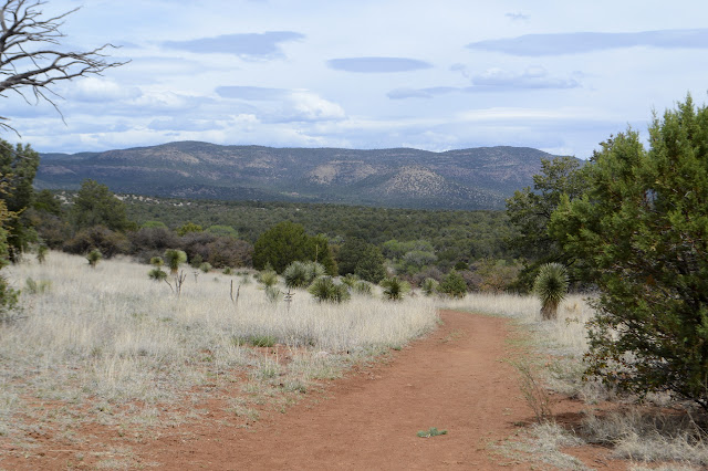
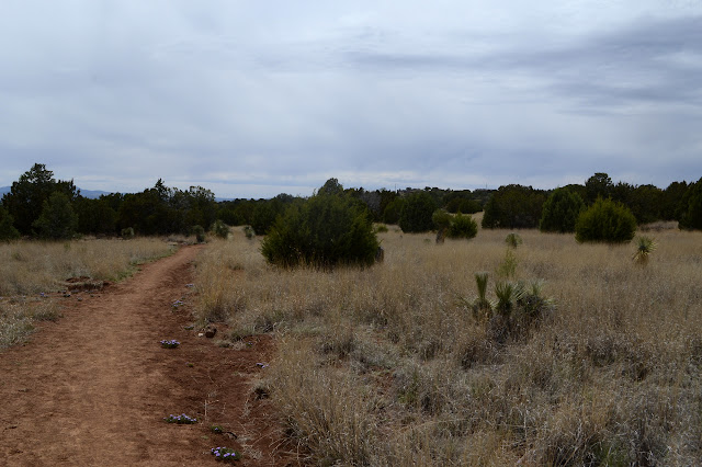
One trail heads out of a different gate onto an old road to the south toward the actual Fort Bayard. Another trail breaks off early on going north toward Twin Sisters Creek Trail, then Fence Line Trail, and finally the Wood Haul Wagon Road Trail I was on a few days ago. Not much further, the Dragonfly Loop splits. A sign at the first split says it is 2 miles to the petroglyph, but nothing at the loop split indicates which direction that mileage is measured along. I take the left, and that makes all the difference, which is probably none at all. It sends me past a shallow and dry vernal pool and a couple of the "wrong" junipers (they don't have alligator bark), and over some very easy rolling hills. The other direction would have done the same. Trails keep breaking off to the north as if people suddenly realize they actually wanted that instead quite frequently. Or maybe there are other, unnoted art sites along the way. That seems unlikely, but then none of the area seems likely for an art site.

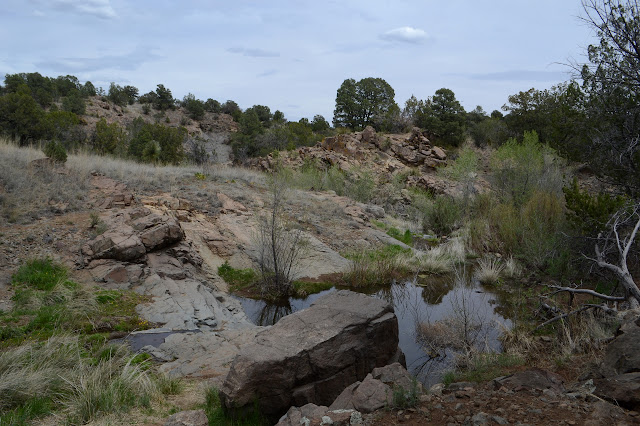
The trail gets to a creek and then seems to turn away at the far end of the loop. Trail continues on and I'm not certain they'll actually tell me where to look for petroglyphs, which should be down by a creek. Even if it is a dry one. I take a moment to go a little further than the end of the loop, where trail is heading off to join that more northern trail from before, and then drop to the creek and look at the rocks there. The only art on them was left by nature when this currently dry creek ran high and full of rocks to bang against the sides of it. This is silly, so I relent to following the path again. Away from the creek. Which is quite a misinterpretation of where it is going since it follows the creek bed to where the underground water wells up to the surface and keeps on going along it as it flows. A flowing creek is much more likely to have art along it than where the water is underground.


There is an apparent junction that sits unmarked, but trail seems to have been constructed down to the water and up the other side past a post. I very much wonder what that is for, but since it is definitely leaving the flowing water, I will let it go. Anyway, I left with only a little water for a short hike and have no filter to augment that now. On I go, admiring the flow of water as the canyon walls grow just a little taller and rockier.
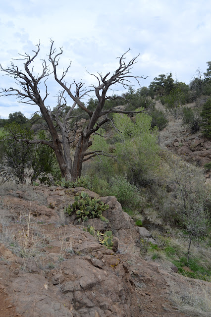
The trail starts climbing upward over some rocks, but I want to get a look around at their front. I must be getting a little better at knowing where to find these sorts of things, but cause there it is. Not the dragonfly, but another petroglyph on a chunk of broken off rock. It has a way to go before getting as dark as the varnish is was pecked from, but it is really quite dark. Another broken rock contains another glyph. I walk slowly and carefully, looking carefully before each step, then searching both above and below. Only the very darkest surfaces seem to have anything. It takes me a while to come back around to the trail and finally see the "star" of this show, at least according to the namers of the trail.


A trail leads down past a few more and then back to the main trail. There are a few along the way that could be stepped on, so care and attention must be paid constantly. The trail is safe, though, it is well trod upon.
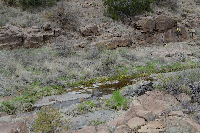

The trail continues along the canyon as it turns dry again. The map marks a spring and indeed the water wells up again. It looks to be the same flow as the other, so the "spring" is likely just an exit for the underground creek.

The trail crosses over the water once more, and climbs to another junction, then back the way it came to complete the loop. It does seem to be shorter this way.
Before leaving, there is one more thing I want to check out. There are a bunch more mysterious benchmarks along the section boundary that have propagated even onto the Forest Service map, which doesn't seem to care about such things usually, and one of them is right across the road. It seems likely it won't actually be there with houses built one side and road the other, but I may as well look. Just the other side of the fence, it is there. An old concrete block with letters on it I can't quite discern, but it is there. There should be more every half mile heading north along the old fort boundary.

That was so unexpected that I am almost tempted to go off to see if the next one is there. Almost.
Written 10 May 2019
Liked this? Interesting? Click the three bars at the top left for the menu to read more or subscribe!


Comments