Ma-le'l Dunes north
Humboldt Bay National Wildlife Refuge
(Map link.)
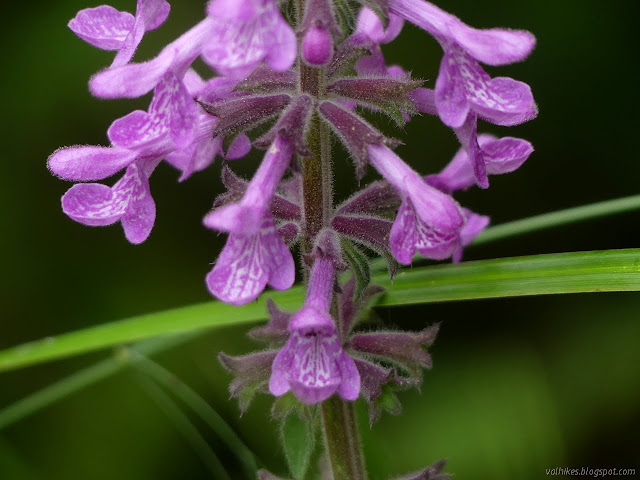
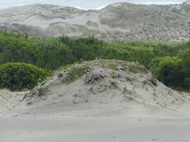
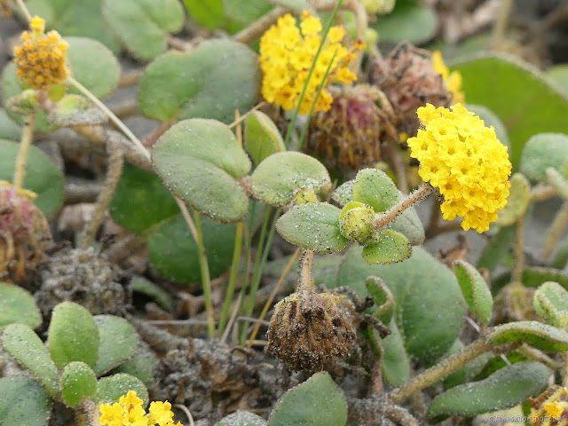
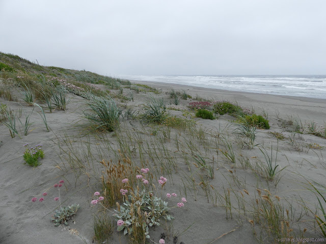
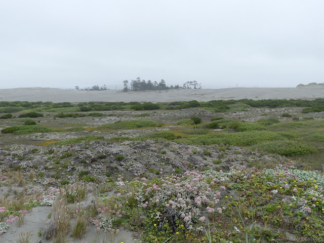
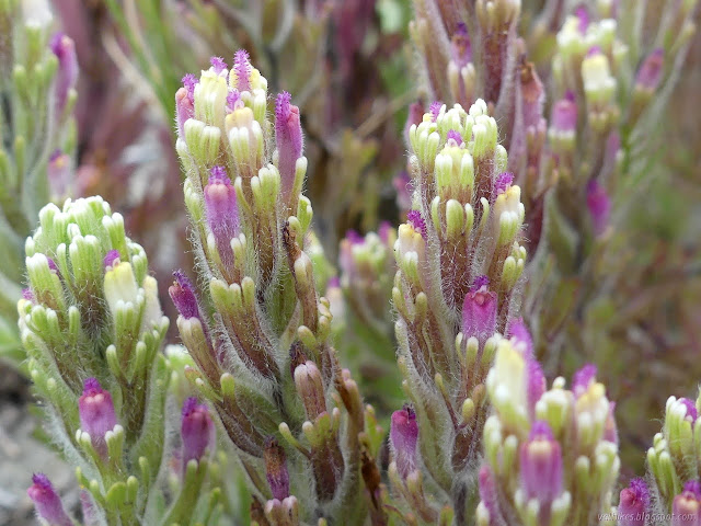
I was out to Friends of the Dunes on Saturday for the "Dune Ecosystem Restoration Team" event yanking invasive beach grass from the foredunes, and it made it quite clear the seasons have changed since I was last on the dunes. The shore buckwheat is looking rather stunning and there's lots of other flowers out now too. They're all really enjoying having the room that was once a near monoculture of invasive. (See the calendar here for similar volunteer opportunities.) I decided to visit the north part of the Ma-le'l Dunes once more.
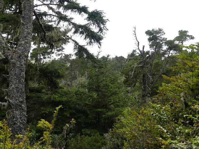
I followed Tsoutsgish Trail along the old railroad grade. Trees on one side are slowly falling into the slough and trees on the other slowly getting suffocated by sand. We try to remember that this is alright. This is a land of change. It sits on sands and sands shift.


I paused briefly before turning back and making my way up the Dap Loop to Viqhul Trail, another that dead ends. The tree that was on the intersection was long gone. I followed it up and back, too.


Then I headed up Hout Trail to cross the dunes to the beach. The trail sign has fallen and the first marker is almost buried from the shifting sands. My trouble is that first marker starts one going the wrong way. I thought it was probably actually down to the left, but climbed a bit to see what I might see. There's no nearby second marker.


What I saw was a post far down the hill, so I went for it. I should have pulled out the electronic map because I was going the wrong way.


What I was following turned out to be an old fence post with barbed wire looping off and around it. I retreated to a thick line of footprints and followed it, not finding any trail markers along the way. If I was on the correct trail, I'd have found a few while crossing the foredunes. At least it didn't cross over into Lanphere Dunes.

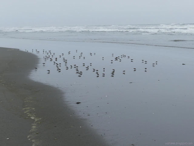
So I walked a bit more of the beach than expected until finding the signs first for Hout Trail, then for Kimuk Trail. They are very close together.
So I turned to head up the dunes again, this time past a number of posts. They are variously getting buried or falling out too. This time I managed to follow the trail.


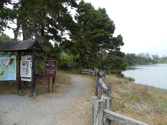
The fog, which I had been hoping was somewhat clear and clearing, had come in thicker while I was there. It was even a little cold with the wind that touched the higher places. Everyone was already gone when I got back to the parking lot. I still got out well ahead of the gate closing at sunset.
*photo album*
©2021 Valerie Norton
Written 24 Jul 2021
Liked this? Interesting? Click the three bars at the top left for the menu to read more or subscribe!


Comments