Lacks Creek: Prairie Trail
Lacks Creek Management Area, Aracata BLM
(Map link. Green/blue line for day 2.)
DAY 1 | DAY 2 | DAY 3
Water just kept on settling out of the air all night. It wasn't raining, but it might as well have been. When the stars were long vanished, I went ahead and set up that useless tent I'd brought by the light of I'm not sure what. No stars, no nearby cities, maybe the half moon was up somewhere above the thick fog, but still no need to turn on a headlamp. It was just that little bit warmer and drier and somehow a little bit of heartburn finished up too. Everything inside the tent was dry again by morning. The morning was a slow one under all that mist.
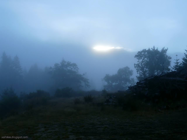
I grabbed my food bag and wandered along the old road that makes a flat area for the campsite (as near as I can guess). I didn't get far going north, but the paint on one tree proclaims it as "LG good". There are narrow tracks everywhere through the brambles. I walked much further to the south. There were more logs across it and no flagging at all, but there are similar trails helping through the brambles. There's lots of wildlife mostly hiding away. I got as far as a narrow, but deep ditch. It was dry, but I could hear the water of the creek up ahead. I turned back. Even with the wandering (which I probably should have logged), I didn't manage to wait out the fog and ultimately packed up the tent wet.
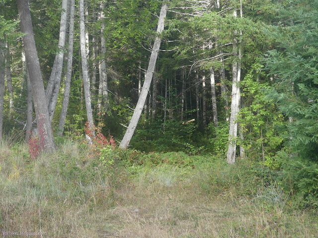
I had decided to give that lower trail a try. They appear to have built the lower trails from the south, so if it was the next segment, it would go through. However, if it was trail builders marking it, the flags would likely be more pink or some other bright color. These white flags with reflectors stuck on were more likely from hunters with their own goals. Those goals probably aren't getting through to other trails, but I was sure I could make it work. If I couldn't, I could just go the long way after all.
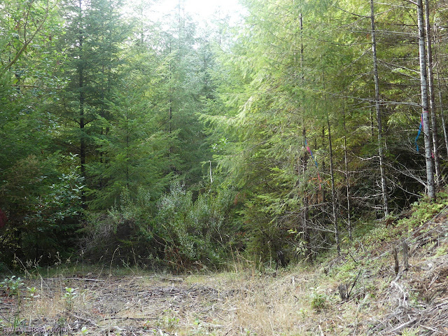
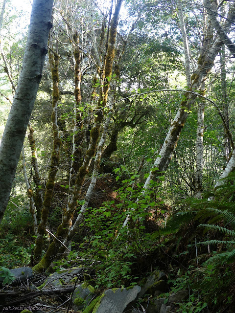
I crossed the dry creek bed with the audible water running above and below and passed the refrigerator that marked the end of my travel along this trail the previous day. It's not that there's a lot of refrigerators, but I did happen to see one and it was right at the end of my travel. I have no explanation for its presence. Onward, the road was variously quite clear or a bit green with fairly easy trail down it.

The old road split and the flags continued losing elevation to the left, while the right looked much more open. Part of the openness probably had something to do with the fact that I had passed from future timber sale into a past timber sale. A masticator (or some other heavy equipment) had been running along that road to just a little bit north of the junction. Yep, one of those things that had been messing up the trail portions of Beaver Ridge. Preston Prairie is higher than Flyette Prairie, so I got uncomfortable about continuing down. Besides, the other road looked so easy to travel.
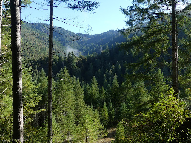
The road got to a green belt, of sorts. Water flows and things get thicker and the masticator turned back leaving a not very easy to follow old road that got to a big washout. I gave it a big "nevermind" and turned to follow tracks and increasingly well built old roads up to the currently usable road that provides trail down to Preston Prairie. Then because the information boards note two water sources along this road, one of which is claimed to be potable, so I continued upward. On the way, I smelled smoke. I've been paying a little attention to the McCash Fire, which has burned my campsite on Ukonom Lake where the trees looked worrisome. It has burned up and over Medicine Mountain which I still want to climb. It has gone down all along Bridge Creek, right into the green bits that remained, but not so much into the moonscape of Halfmoon Meadows that resulted from the Haypress Fire 2017. Presumably they wrapped Fowler Cabin, but the fire burned past it too. So that's what I blamed for the smoke smell.

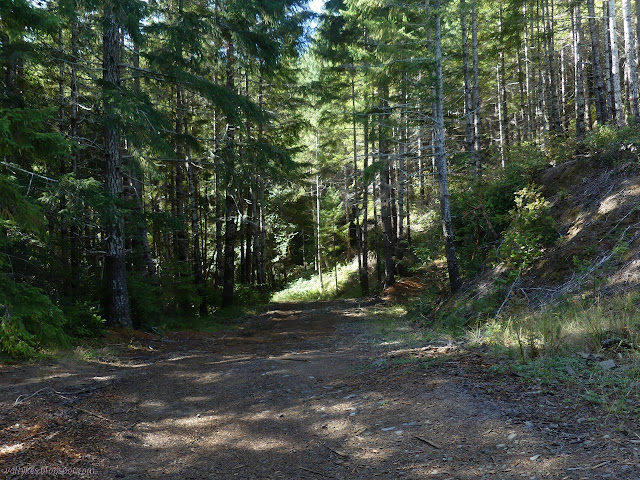
I never saw the first water source. It is shown just a little downhill from some seasonal streams that had not started flowing yet. There was no sign for it. At the bend where the information boards claim there is a potable source, there is only another stock pond. Maybe it's actually just a little bit past the bend? I went looking, but saw nothing more before arriving at the junction with Beaver Ridge.

I headed down. There's a bit of dirt on the USGS map that looks rather square like a marked building about 100 vertical feet below the road, so I decided to check that out. Nothing but the masticated remains of trees. It even had a try at chewing through a tree over 1 foot in diameter. Grooves ground into the side of the fallen trunk before it moved on. That was less disappointing since I wasn't really expecting anything. The rest of the miles back down to the prairie passed quickly. The seasonal streams are getting a little start lower down. There's a junction that could really use a sign on the way. The correct direction is up again, as it happens.


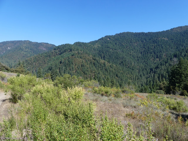
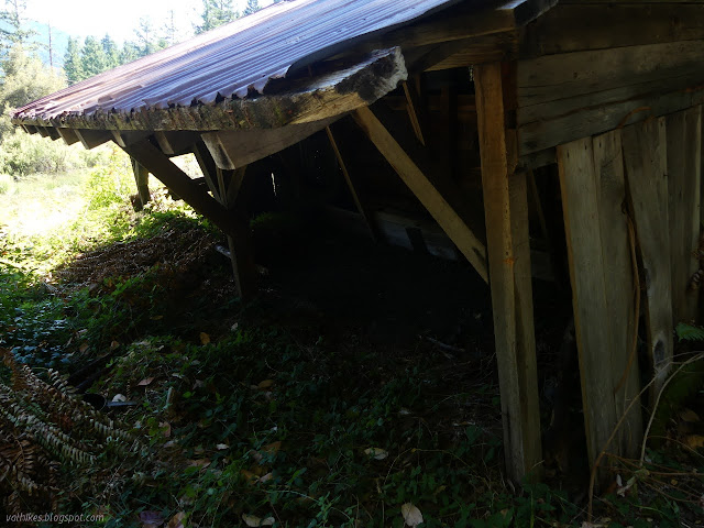
Prairies certainly give a lot more view where it was hoped for on the ridge. At the far end, I even found a structure. There is a small barn at the upper, west side. It's corrugated metal with accents of poison oak growing all the way up the corners, so probably not all that old. There's no official campsite in the prairie although there's more room for one than some of the spots along Beaver Ridge. At least, I expect the road itself isn't considered space since there were a set of tire tracks on it.
Out of the meadow, there was 100 feet of trail with evidence of a bit of work put into the construction, then 100 feet of trail trashed by masticator. No bright ribbons to mark it and suggestions of trail going up, I eventually guessed that it would drop back to old road past a potential washout area.

More guesswork was required as the old road split. The map shows climbing through the prairie and after, so I chose climbing. There were deep prints in the dirt, but also signs it might be wrong like slash piles in the middle of the path leaving little room to pass. They could be hunter prints and not going where I wanted to go, so I yielded to the signs that maybe it was wrong. The map only shows climbing for so far and I'd gone beyond that. The lower road was clearer. That is, until it came to a green belt and there were piles right in the middle of the path and then the path became narrow and scrambly.
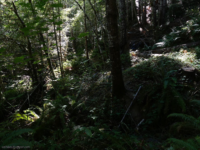
I yielded to the clues and circled back to find the real trail, but nothing could be it, so I just tried harder. Crossing the little gullies, I came upon more obviously built trail around the corner and the cause of the green belt: a lovely stream happily cascading down the hill.
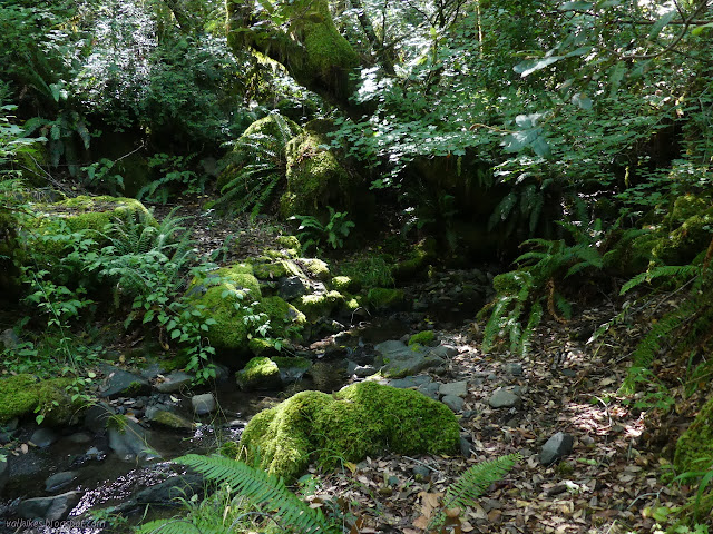
I laid claim to a liter of it, happy that expectations had been met. (This is not indicated as a water source.) The trail looked nicer from there on, too. It was much less disturbed by the ongoing tree thinning projects although slash piles started turning up again.

Then trail came to an end at usable road. I turned left to go to Round Prairie, but I found only a road that turned into trail with white flagging augmented by reflective stickers once more. It passed a few small meadow areas and another stock pond. Someone stood up as I approached the second meadow. It turned out to be one of two elk who bolted up the hill.

I was much lower down the hill than I should be so I recalculated. It was a road that was drivable, but perhaps not officially an administrative road. I hiked up it to the next junction and tried again, this time with more success.
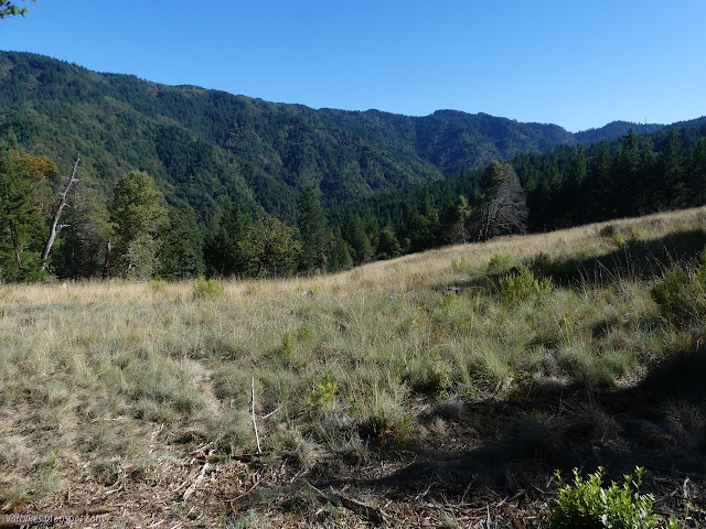

Further up the road, the turn off for the trail back to the campsite with the spring was unsigned but obvious. There's a tree down at one spot forcing people down onto old road a little sooner than designed, but this trail is generally easy to follow, at least with a map. It would be even easier to follow with a georeferenced map.


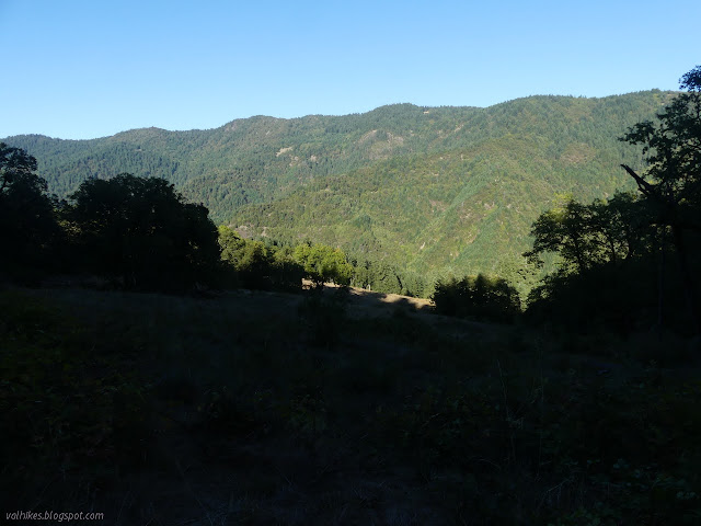
I still had plenty of light left for chores when I got to the camp by the spring. Chores like getting the pipe set up, so I buried one end of it into the hillside, then waited for the silt to wash out. The flow was not great, but still plenty. It was much drier this time when I settled in for bed without bothering with the tent.
On to the next day ⇒
*photo album*
©2021 Valerie Norton
Written 15 Oct 2021
Liked this? Interesting? Click the three bars at the top left for the menu to read more or subscribe!


Comments