Mad River Sand Spit
Mad River County Park
(Map link.)
Following another round of destruction for invasive marram grasses at Friends of the Dunes, I decided to take advantage of the first day in a week with more than an hour of sunshine on the beach. I headed up to a rather full parking lot at the Mad River County Beach and took off along the dune trail that parallels the river, leaving nearly every single one of them behind. I had been looking for a day to get out to the mouth the hard way, and this was it. It was still quite foggy to the north and I quickly lost that sun.

Portions of this trail flood in winter, but it was all quite dry coming to the end of the dry season. It looks like there's a bit of hill between the trail and the river, but that is an illusion created by the willows along the edge. There are a couple of spur trails that punch through it to get to the water along the way. I tried one, but it quickly became much less established and I was going to see the water soon enough.

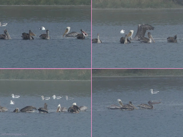
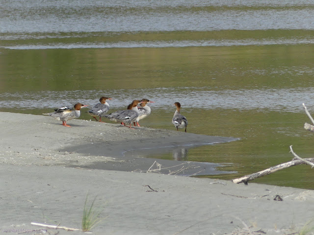
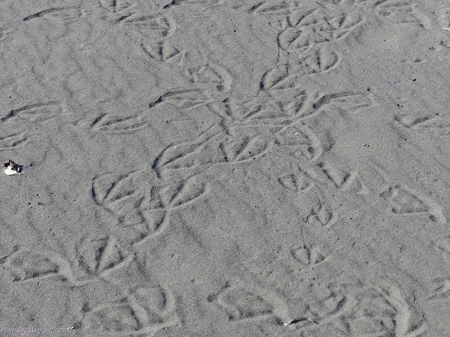
Trail was a little less established once I was on the river's edge. Many trails come and go, but it looks like following it isn't so popular. There is enough of a route to get along with a bit of random dune climbing. It just brings a bit more of the animal antics on the river into view. The heads of seals kept popping up. They were very quiet compared to the sea lions on the Klamath River until they found something interesting. Then there would be a thrashing in the water.


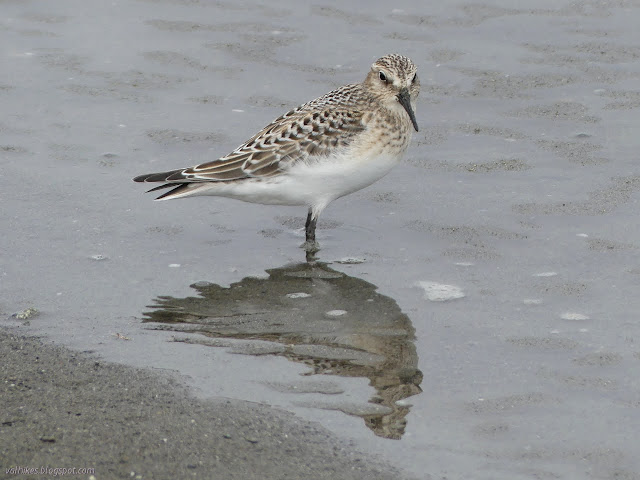
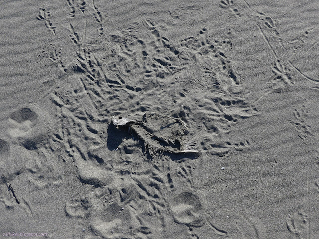
It's not just web footed creatures hanging out for the fish. As I walked over one small hill, I caught sight of some tallons and a hooked beak that were working on a meal. It moved further on, then a little further, then finally took off low over the sand spit to somewhere unknown.


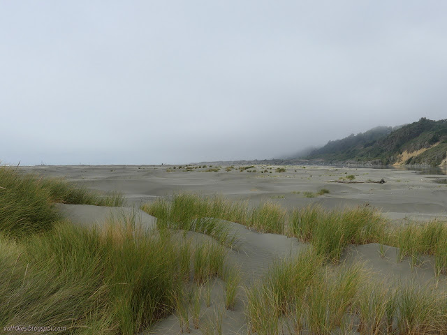
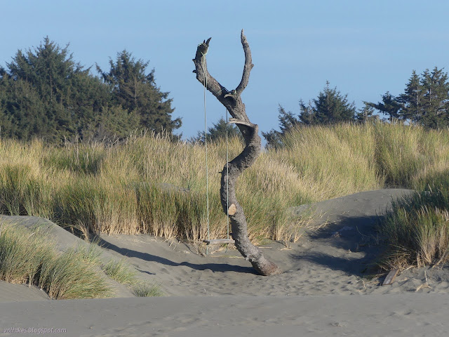
The hills, mostly covered with that invasive marram grass, came to an end leaving shorter hills with a scattering of grasses. The patches of ice plant that kept mysteriously turning into bundles tied up in their own long roots also ended. Sprawling verbena became more prominent instead with all the room to grow.
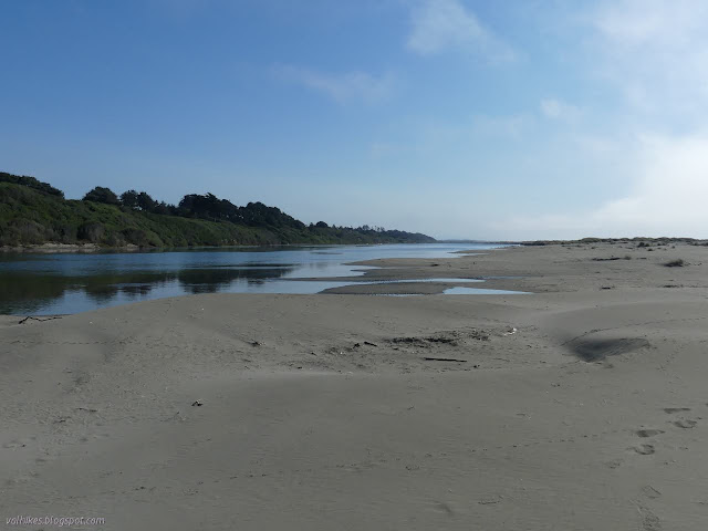


I finally came to the end of the sand spit after about 3.5 miles of walking. It was a little longer than expected, but perhaps it wouldn't have been if I'd thought about how much of the Hammond Trail I was paralleling. I was seeing people on the other side, and a couple paddleboarders in the middle, all along the way. Footprints in the sand suggested there might have been two or three other people out that far on the sand spit during the day.

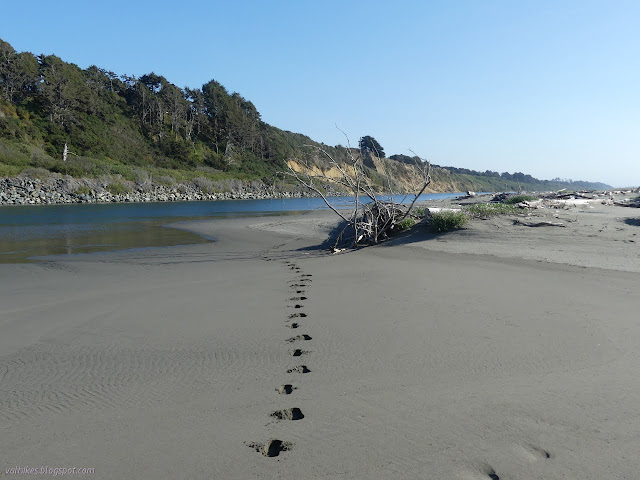
So I turned south and started to return along the beach. I started north along the river that flows that way, then south along the beach where the current heads that way. Water flows downhill, so this is a hike that is downhill all the way.


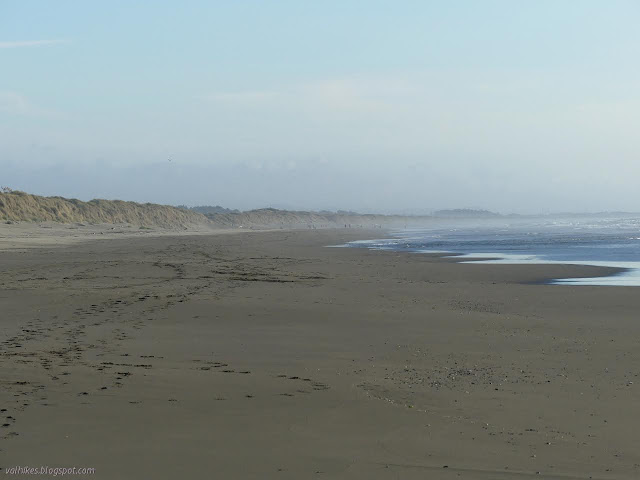
It took a few miles to see anyone on my way south along the beach. No one was actually in the water except the odd nudist sneaking her cloths off in the dunes before hurrying to the water. I was feeling quite cold enough in the breeze, especially when I walked barefoot across the wet sand. I got my shoes back on before climbing into the dunes to cross to the parking lot.
*photo album*
©2021 Valerie Norton
Written 3 Oct 2021
Liked this? Interesting? Click the three bars at the top left for the menu to read more or subscribe!


Comments