Bob Hill Gulch loop
McKay Community Forest
(map link)
As of September 29, 2022, a portion of the McKay Community Forest is finally open. This includes the Northridge parking area in the southern portion of the forest and about four miles of trails. A map can be found here. I decided to return to the forest (prior hike from this start is here) to hike the longest loop available on the now officially opened trails. The parking lot was indeed open with a great big sign stating the gates would get locked at 6PM. Gates locking at a variable time sometime after sunset seems pretty common for Humboldt County parks.
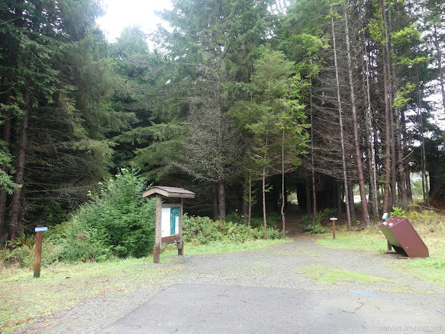
I turned onto the Bob Hill Gulch Trail, which is a much smaller trail and harder to see than the Perimeter Trail, an old road that is also an option. Bob Hill Gulch turns back on itself and really is just a longer way through the dark and scruffy forest to join another old road that branches from the first.
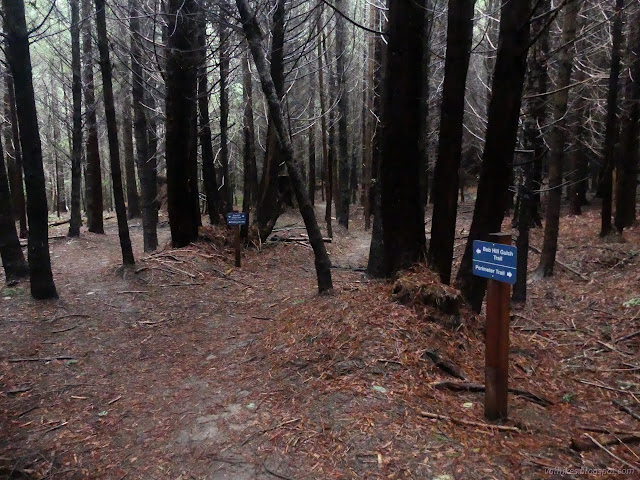
It's nice to see the signs up now. The new trail is still a little faint and it was comforting to have the confirmation. It's informative to have the direction too.


The trail gets on with getting somewhere once on the old road. It's following a ridge line, which gradually becomes clear as the forest starts to slope away steeply on both sides.

The old road ends abruptly, but the trail continues on down. This is a hikers only trail, but the sign has been placed so that a bicyclist is likely to miss it while zooming on past. There is a bike trail in development.

I wound my way downward. The rain has made a few spots very slick, especially in places where the mud seems to be a weak clay. Once down along the gulch, there are more of these clay spots for both uphill and downhill segments.

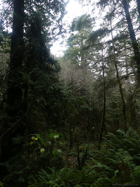
After all the rains, there's water flowing in Bob Hill Gulch, but I couldn't actually find the creek. There's lots of pools big and small, but I probably wouldn't hear much from water moving among them. Something somewhere was pouring and tinkling and otherwise making little delightful water noises.

There's a junction at the other end of the hiker only section that isn't marked on the map. This might be the under construction bike trail. I'm not sure where it came from, though. Maybe there will be a new map soon.

There's another junction that's sort of marked on the map. It's the end of Bob Hill Gulch Trail and the start of Triple C Trail (Switchy) on the map and there's one more trail by a post that heads over the gulch on a natural wood bridge. On the map, it says "trail connection in development".

I wandered across the fallen bit of wood and had a look at the pooling water around it, but didn't go far on this unopened trail. There was a tree full of branches across it and I didn't feel like battling it. The spot seemed familiar anyway. I used this crossing to get to Ryan Creek on my previous hike.

Then I started up the "switchy" Triple C Trail. There's more big stumps along this bit of trail.

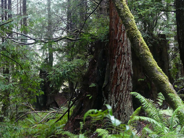


Triple C Trail ends at the Perimeter Trail, which seems to go down the middle of the available trails for the most part. This big old road was probably a main route for work in the forest once. It is choked around the edges with invasive plants now. There seems to be less ivy in the area, but it is easily found here along with pampas grass.


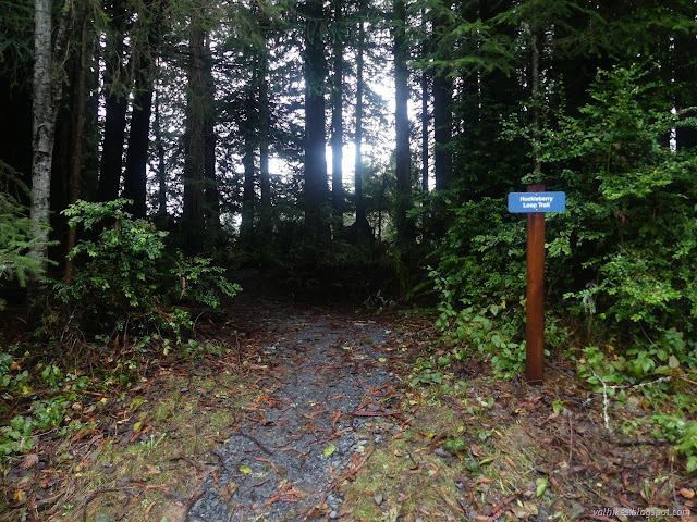
Almost back to the parking, there's one more opportunity to increase the length of this hike. I wasn't even at three miles yet, so turned for it. The future accessible (the crushed rock nearby still waits to be placed around the loop to improve the surface) Huckleberry Loop curls around a spot with a number of big stumps, but is only a few feet from the road.


I had suspected that if I waited long enough on this day, the sun would come out. The weather predictions had other ideas, but as I finished, the sun did come out. Too bad I hadn't waited long enough.
*Humboldt album*
©2022,2023 Valerie Norton
Written 7 Jan 2023
Liked this? Interesting? Click the three bars at the top left for the menu to read more or subscribe!


Comments