Pilot Knob
El Centro BLM
Click for map.
Today I aim to add another Pilot Knob to my list. It just feels right to do. This one isn't very big, so shouldn't take very long, at least if I do it directly without any extras. It has a benchmark, but off on another peak to the west. There seems to be a bit of that going around. And then I may as well grab the geocaches. They look to be generally on a path going up to West Pilot (the benchmark), then Pilot Knob, then down again. I drive in directly and grab a bit of "parking" in a convenient spot between the road and a sign forbidding vehicles behind it. That leaves some flat desert with minor washes to cross between me and the peak. I gather the usual way to go would be to jog over to the east where there is a quarry and park there, but this looks at least as good to me and doesn't involve being in a quarry.
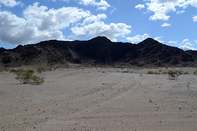
I spot numerous trails up as I walk along. The other side of the road from where I am parked is a long term camping area where, for a fee of just $180, you can stay for up to 7 months. There's probably a few of them that walk the knob frequently and start walking it in different ways. I'm thinking it'll be too hot around here come spring and feel I've been here a while already. Today is sort of a cleanup of things I wanted to get to before taking off. Anyway, I pick a wash to go up and I have a couple trails, one on each side, to choose from too. I pick west. West is the best? It looks a little on the scrambly side of steep on the east.
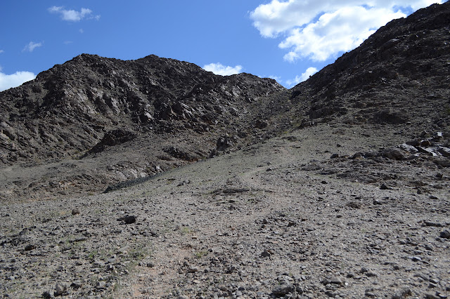


Once the trail hits the saddle at the ridge, it turns and follows the ridge. More trail goes to the small peak west of me. I ignore that bit, the east route is enough. In face, I seem to have chosen poorly and could have come up the next wash to the east for less walking up and down along the ridge. There seems to be a bit of trail to go around the extra instead of up it, but I miss it, too.

I keep making the wrong choices on my way up, keeping to the ridge when eventually it is obvious a lower trail would have been better, then going for a lower trail that doesn't get me up to the top except by a scramble. So by a scramble I do it and there I am at the top. Time for some benchmark searching.

I find the references on lower rocks but no station. I glare a bit at the huge cairn sitting about where a station should be. Right there. It should be right there. Before I angrily tear the thing apart, I take a moment to triangulate off the two reference marks. They point near it, but not at it. There is a nail and some epoxy where they do point. Someone has walked off with the station mark.

One more to find. The azimuth is supposed to be on the highest peak which just happens to be my next destination. For some reason, later explanations of the benchmarks use some other mark as azimuth which is down somewhere out there and a benchmark in its own right. And from 1910. Still, not something I'm looking for. Onward and upward! I am determined to make better choices as I go on to the higher peak and do, in fact, manage it.

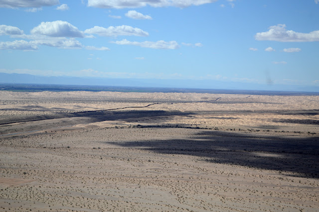
There are lots more paths up from both sides as I go along. I expect I'll go down a wash aimed roughly toward the car that has a rather defined trail along it.


Arriving at the peak, it has an old foundation on it. This could be the reason the azimuth changed. I certainly can find no sign of it near the foundation or on the nearby peaks that might be just as high. The foundation has gathered a few things latched to each of the surviving corner posts. One looks like it was a plastic register, but now is a broken bin for well washed papers. I overshoot it for one last rather high peak, but there is still no azimuth.

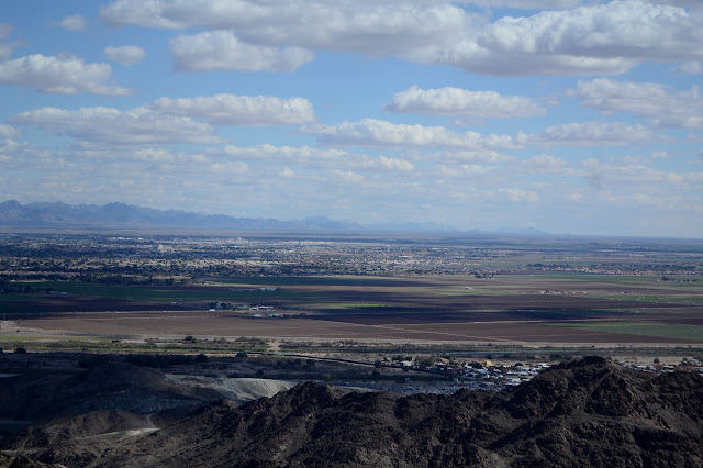

I have lots of time to go searching for a couple more geocaches, so may as well. Unfortunately, they aren't quite as much on my way as the first two, which were near each peak. The first is on the chunk of rock in the middle of the turn around at the end of the quarry road halfway up the mountain. It is a little thing among a myriad of hiding spots, but I do find it although the last searchers didn't. The next one is way down the ridge line rather than down the wash. I can see a trail going up it from the road, but that seems like far too easy a way to go. I don't really want to hike the road. So I go back up the trail until it hits the ridge and go down that way. It does have its extraordinarily difficult moments. Making wrong decisions again, but this time on purpose!
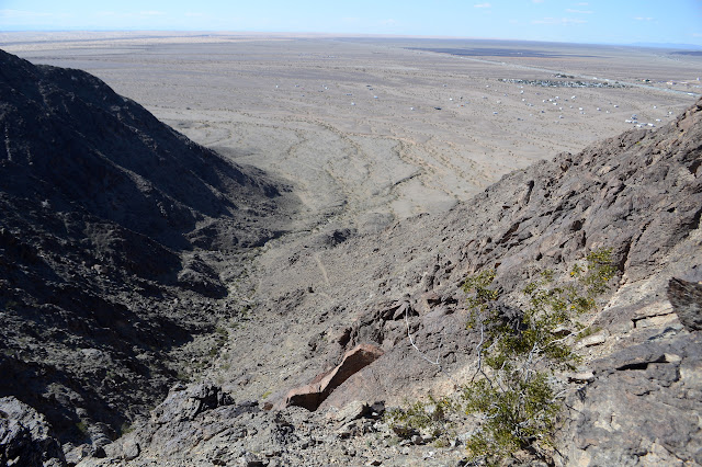
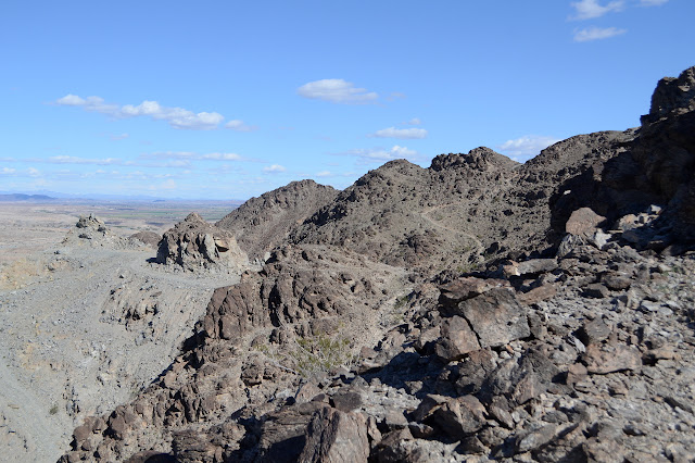
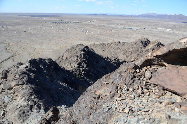

Once to the cache, I abandon the ridge line. It isn't so hard to do back to the trail I was meaning to take, but the trail has mostly vanished into the flats where I meet it. There are two very faint lines of common walking. Of course, it isn't really needed, so I break for the car eventually. Still, even a faint trail makes easier walking than no trail.

©2019 Valerie Norton
Written 5 March 2019
Liked this? Interesting? Click the three bars at the top left for the menu to read more or subscribe!


Comments