Escondido Mountain
Apache National Forest
Click for map.
What struck my fancy to hike while at Quemado Lake was Escondido Mountain, although I'm not sure how one can get away with calling a 1800 foot prominence peak "hidden" is beyond me. It has no trails up it, so I have to determine my own route. Escondido Trail caught my eye first, but it really doesn't go high up the mountain and it doesn't do it on one of the steeper slopes. The road it starts from looks like a better bet, follow it up as far as it goes then grab the ridge tot the right. The easiest way up, though, looks like a 4WD road that starts further south on the (should be) Scion friendly Baca Road #13D. This one climbs high up to a saddle west of the peak leaving less than a mile of ridge walking to the top. Although it means a couple miles road walking on something I can drive, I think I'll combine the two into a loop. I just have to find parking near the intersection of 13D and 4018J, which is pretty easy although I may have been better to dodge a few rocks and park a little further down 4018J, which is heavily impacted by dispersed camping along the first quarter mile or so.


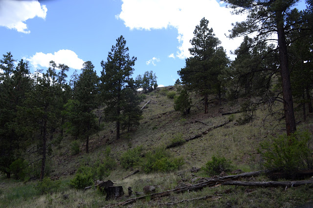
The road is a smooth, easy, gentle walk. Ruts have formed a few places, but mostly it is nice enough to drive with the little car. There are some spots that would require creativity. There aren't many tire marks. Although it seems to be a busy weekend, I have no motorized accompaniment. Lots of trees, not too thick, line the way, giving plenty of shade. It's mostly shallow canyon with a gentle curve with a little bit that is sharper and rockier. After three easy miles just swinging my legs along, it all changes into steep, rocky, direct climbing to the saddle in a 0.8 mile stretch that is most definitely for the 4WD and ATV crowd. The reward that the top ain't too shabby.


Besides an area to turn around and probably once or twice someone trying to continue over the top, the road stops at the saddle like it's supposed to. I have a mild inclination to go bag the lesser peak on the other side of the saddle, but the forested top doesn't call too strongly. The ridge I want is a little chocked with trees and brush right at the start, but I can pick up game trails that hug to the ridge quickly enough. The ones here are almost as good as people trails as they lead me through one rocky outcrop and around another and ever upward.

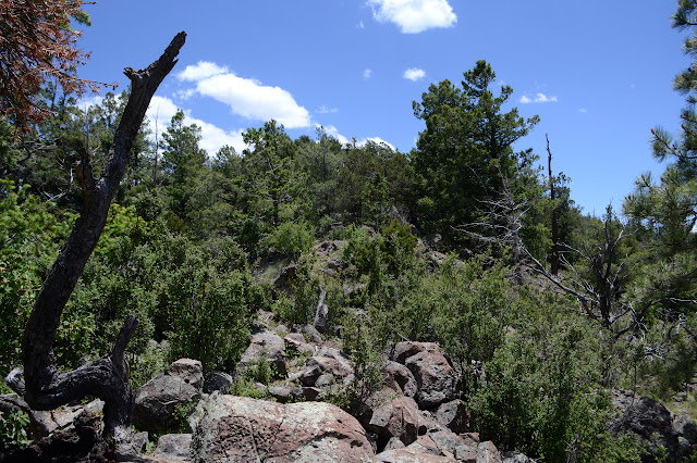


The top leaves no question that a surveyor has been here. A stick with cross beams still stands on the less visible monument set in the rocks below. It looks like prospectors have been here too as there is a distinctive hole just south of the peak. This "greater" peak is also forested, so views are not so good as they might be. There are spots to be found to look out over the land. I can see quite a lot of it. You would think that if this peak were so hidden, the general land would be hidden from it as well.


Now to see if I can run into that other road. I start down, passing a single cairn. There are no others, and I seem to gravitate toward the gully left of the ridge because it seems easier. At least in the short run. I expect the rest of the cairns follow higher up.
I spot road long before I am supposed to, down in the valley just the other side of where most the water would run, and drop the rest of the way to it. Easy walking once again, at least until it turns and climbs up to the official road, which ends at a tree with no turn around just past the junction. It looks like someone with a bulldozer pushed through before the other vehicles started wandering up further.

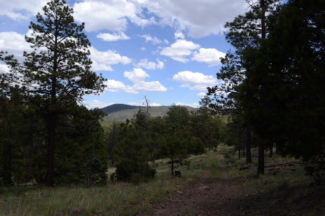
Escondido Trail is nowhere to be found where the map says to look, but signs at the junction a short way below indicate it heads off the other road anyway. I might have been disappointed if I had tried to use it as part of getting up the mountain. This road is generally nice and smooth and maybe I could have driven it, too, except for some little bits like where everyone is driving around a huge tree across the road and the very first hundred feet or so. It's all easy on foot.

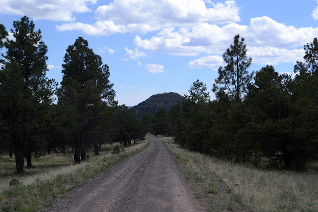
Once back at 13D, there is nothing to it but to wander on down the hill toward El Caso Peak. It is only supposed to be a good road to this junction, but it clearly has some well graded length after here. So I turn and go. It isn't quite all downhill and there is the only traffic of the day: a pair of ATVs going the other way. The second stops to ask if I'm okay. I would have expected that the hiking poles and sun sleeves and generally looking like a hiker in well worn hiking gear would have made me look like a hiker rather than a stranded motorist. I guess it's nice he made sure anyway? I even have gaiters on! Then they are gone again and it's back to hiking toward El Caso Peak.

El Caso Peak is calling to me, too, but I manage to resist it as well. Maybe I shouldn't. Anyway, an extremely nice way up and the saddle at the top had a view that was obscured and worse for most of the rest of the loop. A nice enough way down, too, with a little more view out, or maybe it just seemed that way because I was facing downhill most the time instead of uphill.
©2019 Valerie Norton
Written 13 Jul 2019
Liked this? Interesting? Click the three bars at the top left for the menu to read more or subscribe!


Comments