La Ventana Arch
El Malpais National Conservation Area
Click for map.
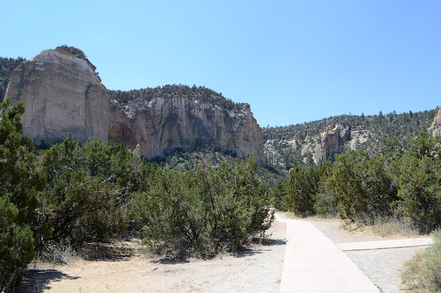
I find myself rushing north and passing areas that look like they really ought to be explored, but it's already a bit hot out here. Still, I can do some quick sightseeing for a particularly fun feature along the way. The stop has bathrooms, picnic tables, interpretive signs along a paved path, and very little shade. Oh, and the cholla are in bloom. It's been a while since I was trying to get through the dense stands of teddy bear cholla of the Gila Bend Mountains, for instance, so I can stand to see cholla again, especially in bloom. The ones here aren't plastered with flowers like some, but there's still a pretty bloom or two. Meanwhile, high up in the rocks, is the whole point of it all: a massive natural arch.


A little way past the picnic areas, the path stops being paved. The sign at the start actually says the path to the arch is steep and rocky, but it is barely either. It does go uphill and a rock or two can be found. It stops far underneath the arch with fences around a standing area and "closed area" signs about it all. Little paths break off for further adventures before the end. I gather some of those adventures include getting up behind the arch. Not for me as it is quickly getting very hot.


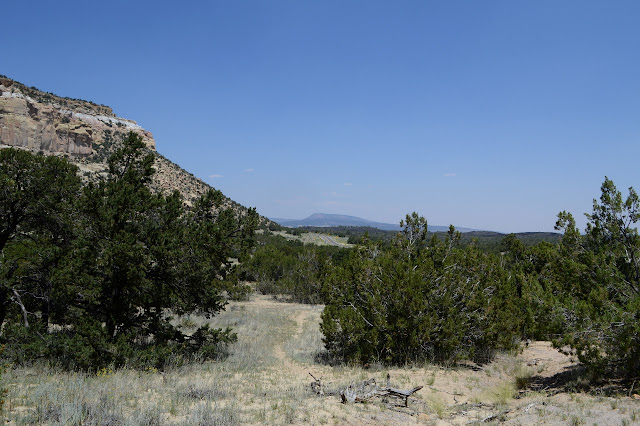
Then it is back and an attempt to capture a little bit of the character of the area. The sandstone cliffs are only one side of the valley. The other side is lava flow. It is quite an odd little canyon that the road has been put through.


©2019 Valerie Norton
Written 14 Jul 2019
Liked this? Interesting? Click the three bars at the top left for the menu to read more or subscribe!


Comments