Old Woman Benchmark
Barstow BLM
Click for map.
I came up the road first to see how far I can get on it and second to grab the benchmark on the hill. I decided that if I'm going to beat up the car, I should only do it once and turned back. This is just a little hill, but the contours look very tight on the map indicating a very steep terrain. To the point I stopped for the hill, the road is fine even for little cars although there are some deteriorating parts. After this, it hits a wash and becomes full of medium rocks. I seem to have stopped in front of a couple prospects. They're a smaller version of the larger mine workings around the place. Those larger ones have foundations and a few other artifacts surrounded by audits and holes. These are just little holes with some tailings. Meanwhile, the hill looks very doable. At second glance, those contours are actually 20 foot contours instead of the usual 40 foot. Not so much up between each, so not so difficult.

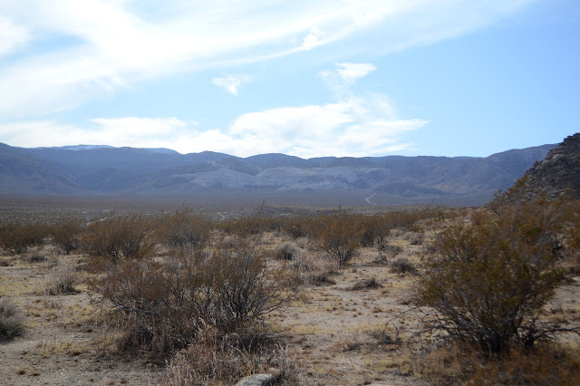
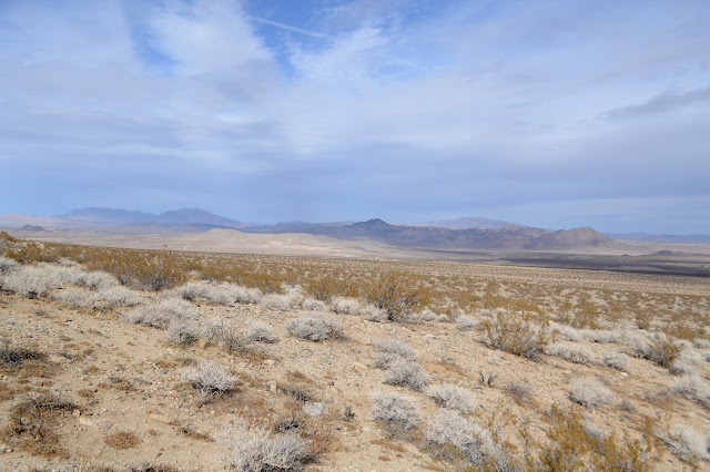
The cactus aren't bad here, but I've already managed to kick one pencil cholla and embed a thorn in the knuckle of a toe while poking around mine workings. Had to take my shoe and sock off and then the thing wouldn't even budge until I got the toe bent just right. Those things are sneaky. Many of them are tiny and easy to miss. Well, with my eyes. Less so with my foot. So I watch carefully as I go up the increasingly steep slope.
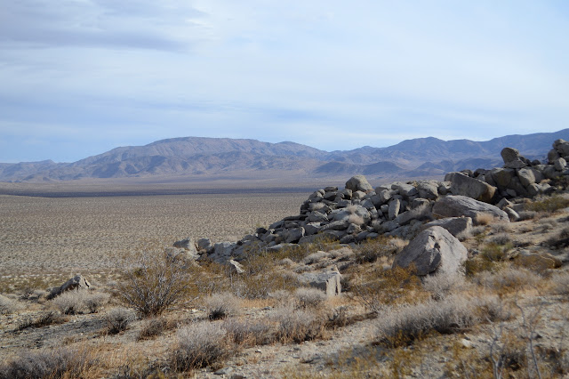
More care is needed in finding solid foot placement on the hill than in avoiding cactus. It's not too bad. There even seems to be a trail forming along the route.

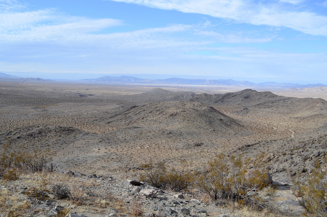
The going up from the saddle along the ridge is not so easy. It has some huge slabs. I follow the trail, of sorts, along the east side where it is steep, but all the steps are step sized. With a few adjustments of path, this gets me to the top where there is a small cairn beside the reference mark and a lot of surveyor trash. Three or four groups must have been up here putting up a stand over the years.


So that's it. Benchmark "collected". I can't find the other reference although the first is numbered so the second must have existed once. I also don't have the data sheet, so no idea if it has an azimuth or where to find it. Still, I think I'll look on the other bump at least. I head down a little west of the big rocks on the ridge and this is an easier route than the one I used to come up. The other bump is a larger, flatter bump with lots of good spots to put an azimuth, but none of the ones I have a look at were used.


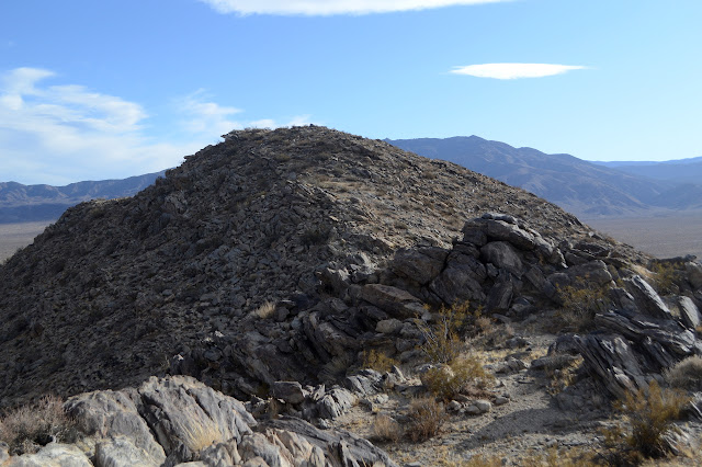
I ponder what other bumps might have an azimuth, but decide against actually looking. So often the description just lists off some other benchmark to be used as azimuth and other times when there is one, it's just at some seemingly random location near a road. Without knowing where I should look, it's a matter of getting lucky. I make my way down to the west for that little bit of a different route. It is steep and is certainly not developing a trail. I pass some prospects, but even these do not seem to have trail.


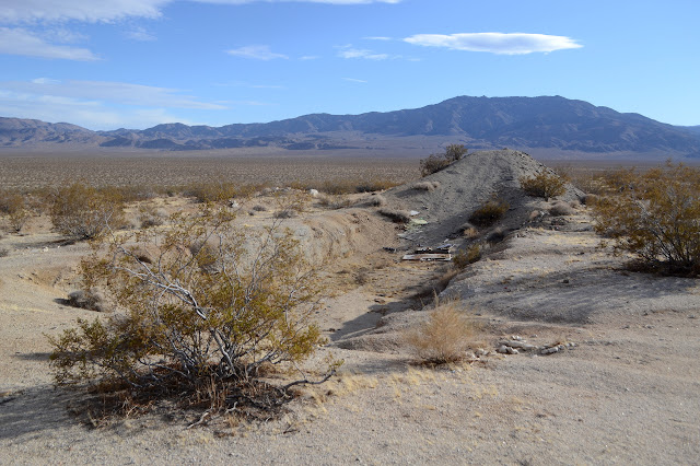
Once down, I walk out along the road and cut some of it going across the desert. It looks like someone mined with a bulldozer down here. The area is now a shooting range, of course. No one is out today, but there will be a couple in the general area over the weekend.

©2019,2020 Valerie Norton
Written 22 Jan 2020
Liked this? Interesting? Click the three bars at the top left for the menu to read more or subscribe!


Comments