Elk Head and College Cove
Trinidad State Beach
(Map link.)
I have been neglecting Trinidad State Beach and I decided to rectify that for the moment. There are three main parking areas. One is down by the harbor and the other two are along narrow Stagecoach Road. I stopped at the main parking and picnic area with its paved, pull in parking, and cut across the lawn past one of the tables to an unsigned trail just east of the bathroom. It cuts down to a neighborhood access trail that roughly follows the road to the east. I turned west, which gets into the small trail system instead.
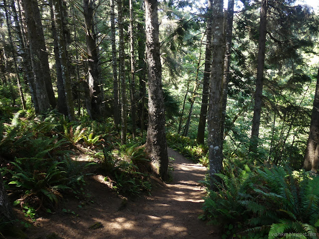
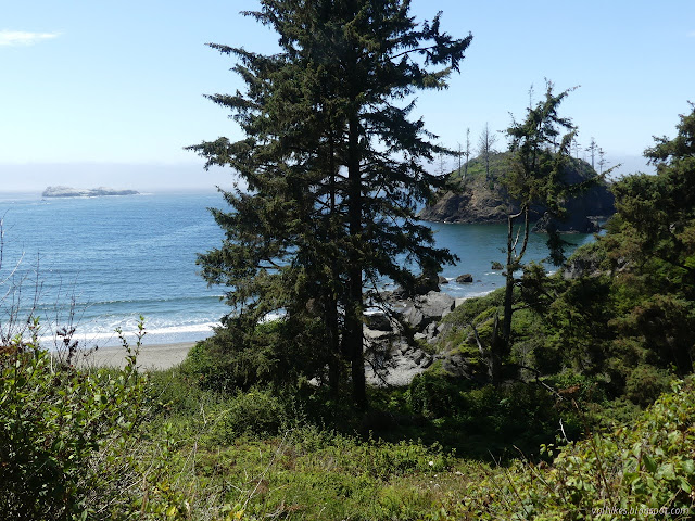
I looked at the narrow, weed encroached trail heading downward and wondered if that was what I was really looking for. I followed the recently worked to a wide footpath trail upward to find that it probably was. It got to looking more official once I turned inland at the next junction with the beach access. I dropped down into the shade by the creek. The day was warm and so being in the shade was welcome.


But the trail does not stick with the creek. It climbs up again, largely in shade, then progresses through more spruce.
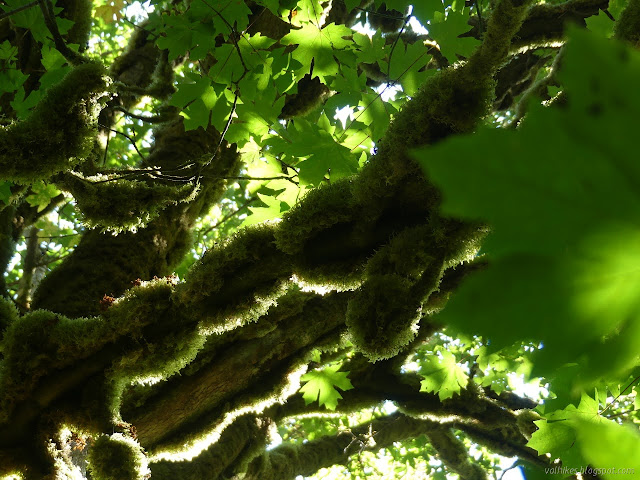

There's a longer and shorter trail across the top. I swung around the longer track.


The trail opens up to the northern parking area. This gravel area also has a picnic table, but with even less view than the other. I walked to the other end to find more trail. I took it past the beach access and on around the long way on Elk Head.


The trail drops down to a huge open space on top of a rock sticking out into the ocean. The wind was cold and constant, but not all that hard. The fog had some thinner moments, but it wasn't going anywhere soon.


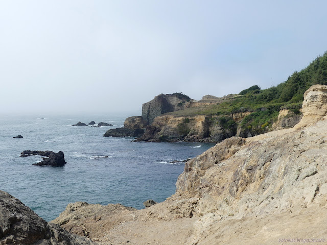
I got to see a little of the distance when a hole in the fog blew by. It was cold out on the rock and not as nice to look around from shelter behind a rock, so I headed off. I returned the short way through the trees, then dropped down to the beach on the access trail.

The beach follows the curve of College Cove. Water dribbles and flows down in a few places. I wandered first to the north end where water sheets over a rock.


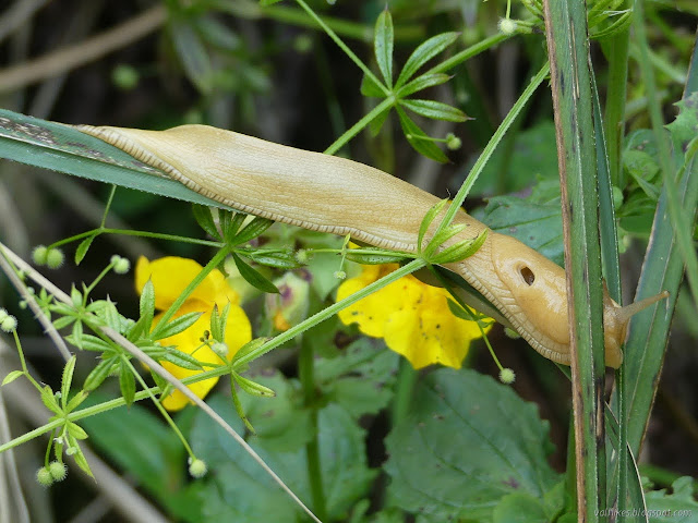
Then I wandered down along the water edge and across the rocks to another water flow that even gets a name: College Cove Falls.


I continued around the beach to the southern end where tall rocks reach out into the ocean. The waves were just large ripples at the very sheltered north end of the cove and still quite small at the more exposed southern end.

With the ocean so calm, there is probably a way to just walk around. I decided against trying it. I pondered a nearby use trail that climbs up to where I took the first photo looking over the cove. I decided not to take it, so had to take the longer path back over the rocks and up the official trail and back again.

I didn't quite go all the way back. I took the access trail down to the beach again for a little more time on the sand beside the waves.

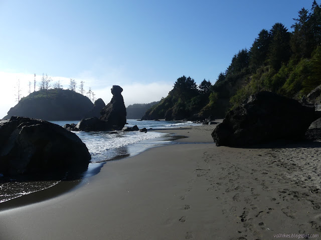
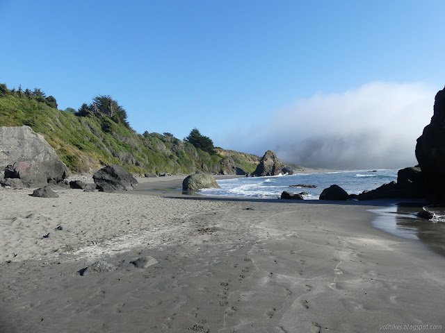
I walked the beach to the north end, which wasn't very far, then headed south.


I went too far to catch a trail marked on my map up onto the bluff, then doubled back to find it is just a scrambling track of a sort I would rather not encourage. The bluff is very soft and the trail goes as steep as the slope beside another water seep. I doubled back to investigate the bluff trails from the official beach access.

The trails up on the bluff actually joined with one of the small residential roads of Trinidad fairly quickly, so the investigation of the bluffs did not last all that long.

*photo album*
©2021 Valerie Norton
Written 29 Aug 2021
Liked this? Interesting? Click the three bars at the top left for the menu to read more or subscribe!


Comments