Trail Through Time
McInnis Canyons National Conservation Area
Click for map.
I keep thinking, "Oh, I should do that," as I pass by the exit for the Trail Through Time. It may just be that these lower level areas of Colorado don't hold so much pull for me, but I have actually turned off the interstate at this very exit to take a hike before. Maybe it just feels a little more "built up" than my usual. Today that is changing. Happily, it is not near the 104°F it was when I last hiked the area. Today I will stop by to see the bones.

The walk into the loop along the road that services the dinosaur bone quarry area is a bit uninspiring, it must be said. Interpretive signs start up quickly with background information about the Jurassic Period and such things that are relevant to the dinosaurs found in this area. Rather than the traditional numbers, they are hardy metal signs so aren't likely to be lost too soon nor are you dependent on a brochure happening to be available.

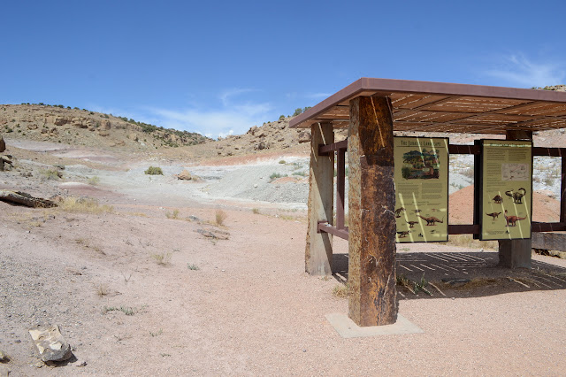
Past bathrooms that are a little far from the parking lot for those in desperate need to notice, past a rather extensive sign (with shade roof) concerning the quarry, the trail turns and starts to get into the good stuff.


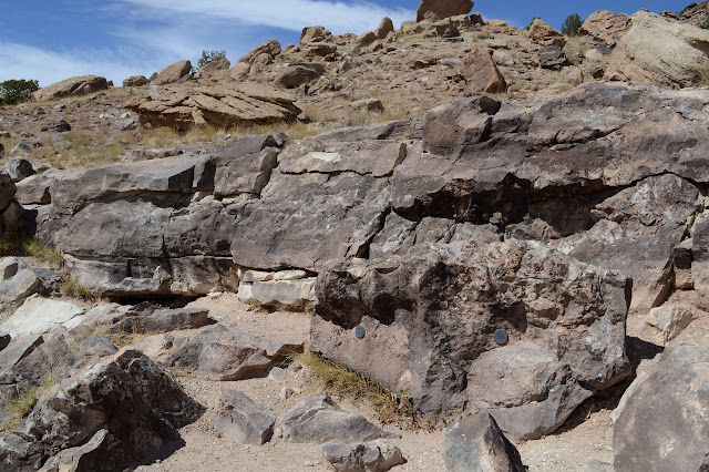
I take the right hand, lower trail as it splits. This happens to be the bit that is ADA compliant, at least for a little way. The next few signs are about more mundane geology. Folks do seem to claim that dinosaurs are the gateway to "more serious" matters. Here, the signs stick to specifics about the layers the bones are found in and some of the more striking layers around those.


The trail starts to climb up after dropping down into a dry creek bed. Here, there are some distinct options as to where it goes exactly. It looks like it has been rerouted but the old one never quite left. I pick one to the left and it seems to get me to more signs, so it must be right enough. Some of the signs are about dinosaurs that were excavated from a spot. This just means there is nothing remaining to see here to me.


There are fewer notes across the top and one is devoted to pointing out the scenery. It does a pretty good job of pointing itself out except that some of the really interesting bits are so far away.


Eventually, the trail wanders down again, but it doesn't finish before passing by one more collection of bones still here to be seen.

As I get back to the corner, I head out to look at this quarry. Like most, it is a hole in the ground. It seems to be at the bottom of some current small wash so only the sides really show that someone has been increasing the hole. There is not much to see of it today. I head back. I had not expected actual bones to be pointed out, so a pretty cool little trail.
©2018 Valerie Norton
Posted 22 September 2018
Liked this? Interesting? Click the three bars at the top left for the menu to read more or subscribe!


Comments