Shorebird Loop Trail
Humboldt Bay National Wildlife Refuge
Click for map.
Under the Humboldt County shelter-in-place order, we are allowed to get outside for exercise with the caveat that "social distancing" is mandatory. They also define the physical distancing that is being referred to as social distancing. I have a permit for more Lost Coast Trail exploration, but realized I still have some closer exploration I could do. I found two trails to try out on the wildlife refuge. For my first hike, I went for the Shorebird Loop Trail which includes another Redwood EdVenture Quest. Due to COVID-19, the gate is closed, but there is a large dirt lot just outside it and the sign on the gate only states the visitor center and bathrooms are closed. Trails are still open. Since that visitor center is more than a mile away, that does mean I'll be walking more to access the trail than I will on the trail itself. Well, I need plenty of walking.

There's a few other cars in the lot, so I expect I'll see a few other people. The paved road is lined by flowers and ditches and the freeway. It's a relatively quite freeway, at least. There are people along the way. One enjoying the sunshine with a gentle sprawl in the road and others walking. That social distancing is easy to maintain even around the sprawled fellow.

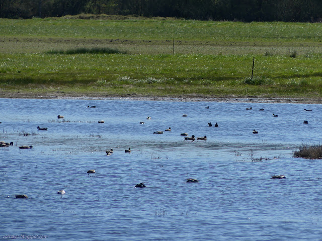
There's a turnout with a cluster of signs along the way. Well, it's real easy to stop while walking, so I go over to have a look. It says that not all those Canada geese out there are actually a Canada goose. Here, they get an Aleutian goose or two too. It is a triumph because it was declared an Endangered Species in 1967 (one of the first) and off the list in 2001.


Finally at the visitor center, I can get started with the planned hike. First, I want to get the information for a mystery type geocache. There's a note in the visitor center window to ask them about their geocache. It's not really an option at the moment, so I ask c:geo. It only knows about the one which has no indication that it is theirs.


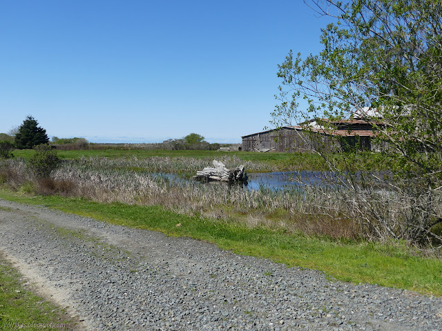
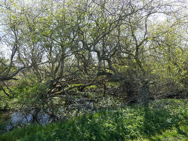
After sorting out bearings, the first few stops are about what was here before. Canals and dykes were built to ready the land for ranching on one side, an old barn that is now habitat for bats and owls is on the other. The instructions to continue on seem to be leading me down a road marked no entry, but if I ignore these spurs, it becomes easy.

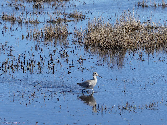
The trail provides stops designed to allow the hiker to get closer to the birds. The first includes a sign identifying common raptors and water foul that might be around. I hear plenty of song birds, too, and finally spot one.


Getting further and further from the freeway, I can still hear it more than the waves on the far side of the sand spit across the bay. I'm still having fun watching the birds.


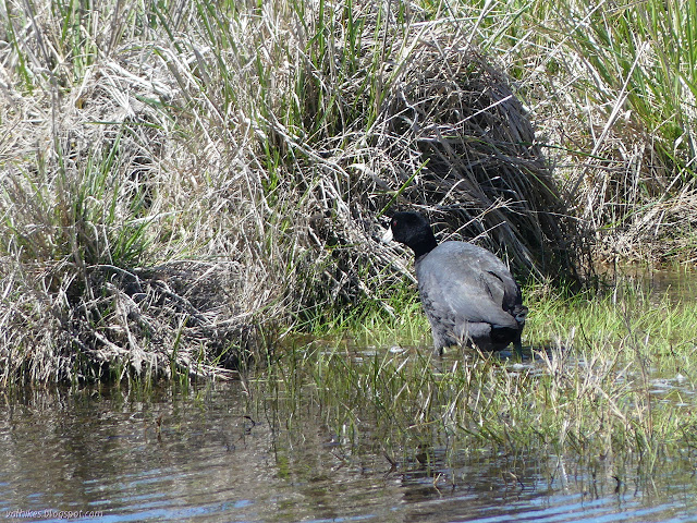
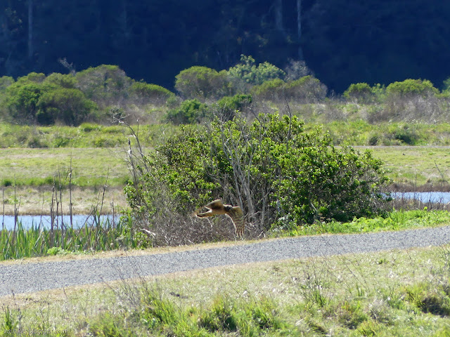
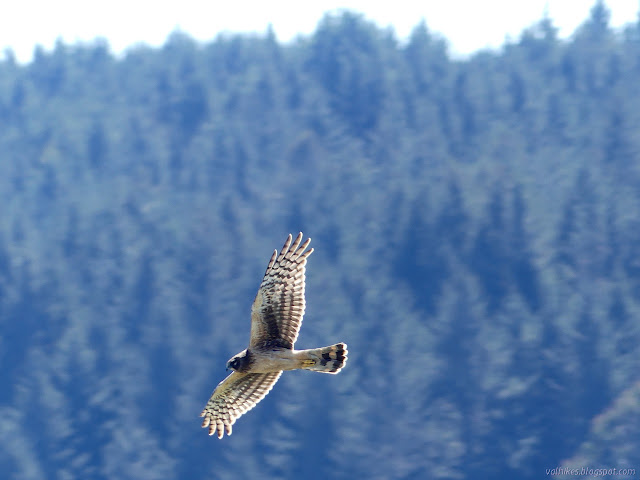
Raptors get a lot of attention with the water foul. I've seen a few, but one in particular captures my attention for a while. The wings seem narrower than the average hawk. Might it be a peregrine falcon? That's one of the options the sign gives.
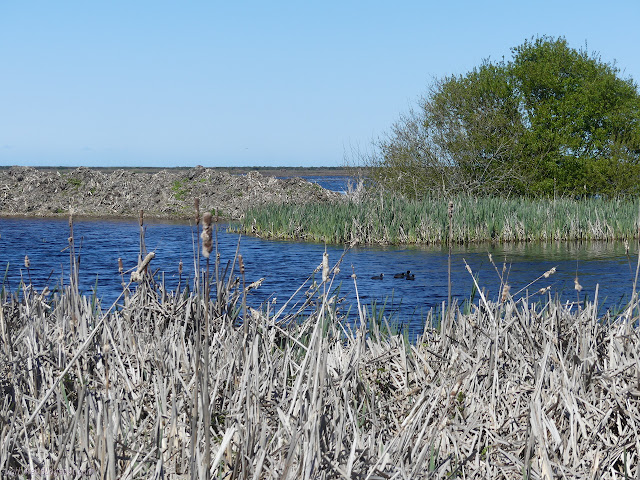
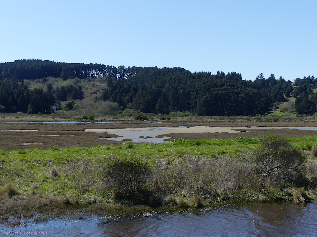
The Quest brochure tells me there can be otters in the large pond, but there are none today. It brings my attention to the wind, which is cold and from the north. It is making me uncomfortably cold even in the bright sun. At the furthest point as I ponder the thin lines of trees on decaying dirt that was once Teal Island, I can finally hear exclusively the waves rather than the cars. This is the place to be.


The end of the Quest has a box with a log to sign. I wonder if it doesn't do double duty as that geocache I couldn't ask about. It even has a stamp and pad, so could be a letterbox as well. I don't wait too long before continuing around the loop. There are warm spots where there's enough bush to block the wind, but usually there isn't enough.

A spur trail heads on over to a ramp to nowhere. It's not part of the loop, but I figure why not check it out. It gets high over Salmon Creek and has a bunch of information signs. It's not all that high, but it's still a slight change in perspective.

I head around again, completing the loop.


And once back to the visitor center, I have a long walk back. I never saw anyone else while I wandered the paths quite slowly, so I guess I kept my distance perfectly. They are quite wide paths and generally have room to step off in most places, so distancing would not be a problem even if there had been someone. There's about three pairs coming up the road as I head out.
There were clearly people working about the place, but I can't get my patch from them. The visitor center is closed, after all. A little wait, and there is still a prize.

©2020 Valerie Norton
Written 7 Apr 2020
Liked this? Interesting? Click the three bars at the top left for the menu to read more or subscribe!


Comments