Hope Creek and Ten Taypo Loop
Prairie Creek Redwoods State Park
Click for map.
I turned my attention to the north side of the road where the trails climb to the ridge line instead of dropping to the ocean. I smiled thinking of the views that must be up there then remembered that it should be thickly covered with trees. One day I might understand that most ridges do not get above tree line, especially those that are only about 1000 feet up. Plenty of really big trees, no views expected. The sign says about four miles for the loop and I decided on the clockwise direction.
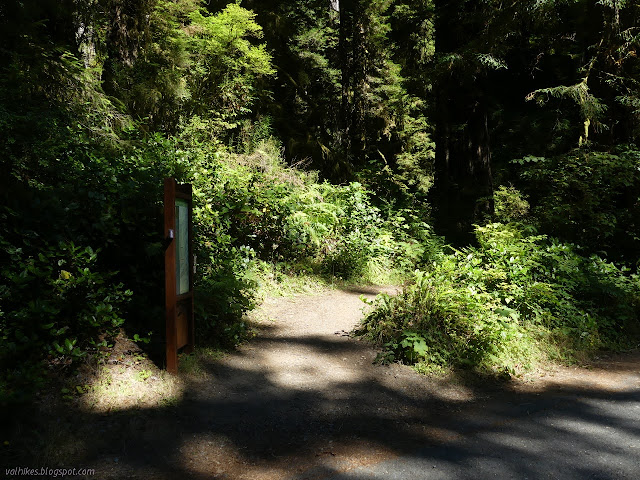
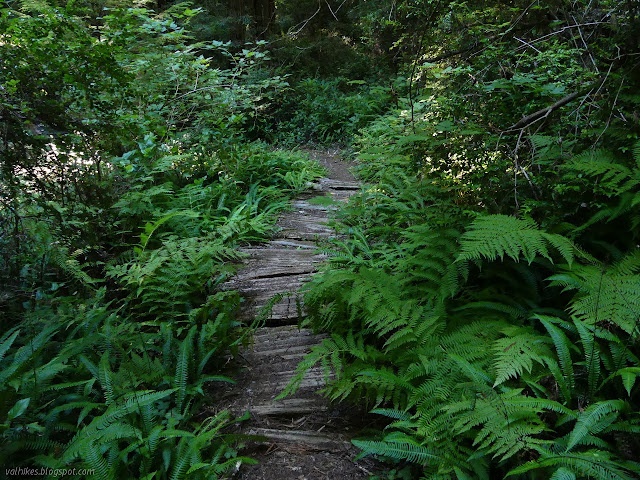
It certainly plunges into the trees. There are some steep sections as it climbs in little wiggles up to the junction that starts the loop. From the junction, I could see bridges circling around big trees down below and plenty more climbing the way I was planning to go.


I kept to my plan an went left. Up! They both achieve the same gain anyway since they meet at the top. It wasn't so bad a climb, but it did certainly go up.


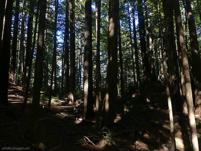
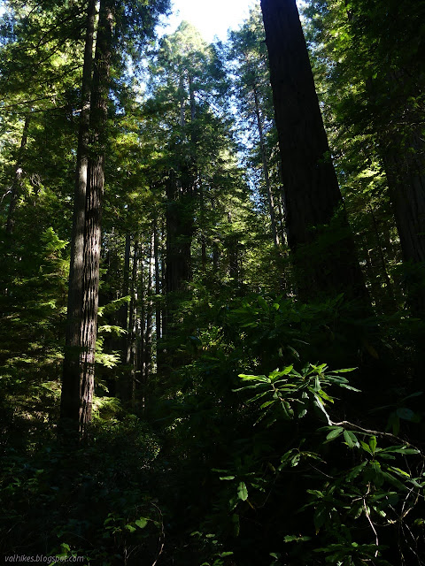
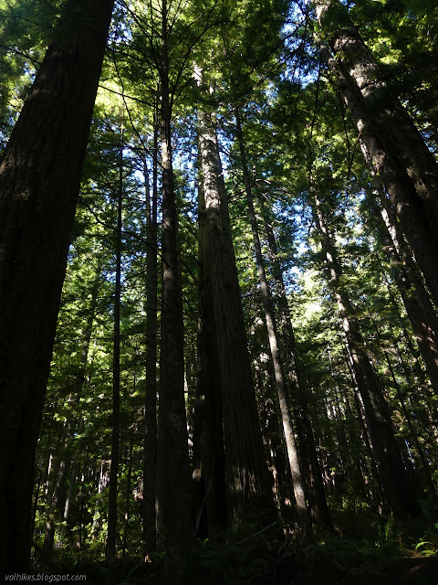
The trees shrank as I moved upward. They like to warn you about that. The biggest ones are down along Prairie Creek. Those are the prizes. The ones along this creek would still be prizes if they were any other sort of tree. I wasn't prepared for quite how much they shrank on this ridge.
It got better again, even as the trail ran into a bit of old road. I barely noticed the rest of the road except that a sign is provided to mark which way to go on it. There is a bit of highway noise along this section, but not quite as bad as at the end of the interpretive trail.

At the top, signs mark trail as it leaves the road again. The road is more obvious at this end and people have been extending their hike by walking along it. Looking at the old maps, it might wind quite a bit up high before finally dropping down to the highway. I turned and headed down Ten Taypo Trail.
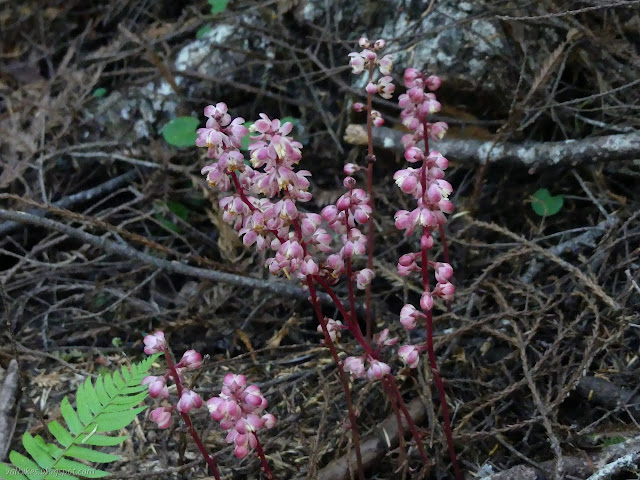
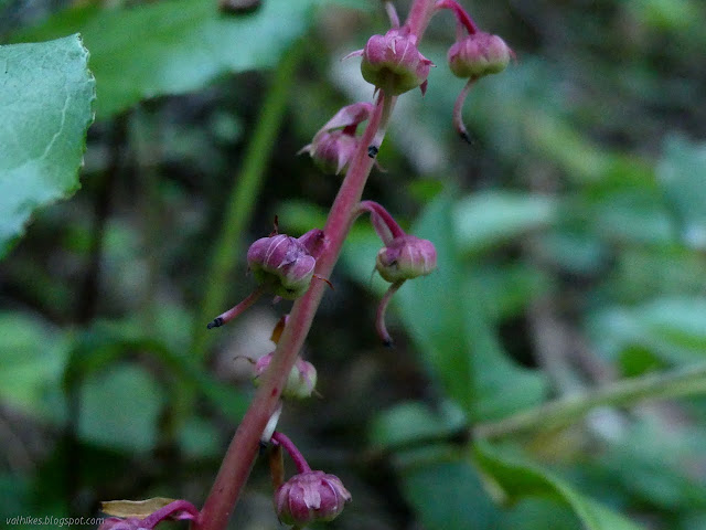
There's very few flowers. I noted some leaf mats that iNaturalist says are violets. They have interesting leaves that apparently are beneath my notice when the flowers are blooming because I sure hadn't noticed. I like the serrations along the edges. I noticed a few more leopard lilies in seed, too.
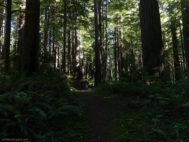
I got to attempting a few "artistic" photographs of the trees even though they never work out. Well, almost never, but when they do, I seem to be the only one who thinks so. In spite of sharing it with others, that is ultimately who I'm trying to please.


The trail finished going downward, for the most part, and turned to traverse back over to Hope Creek. It seemed to scramble a bit and I could hear plenty of parkway noise on this section.


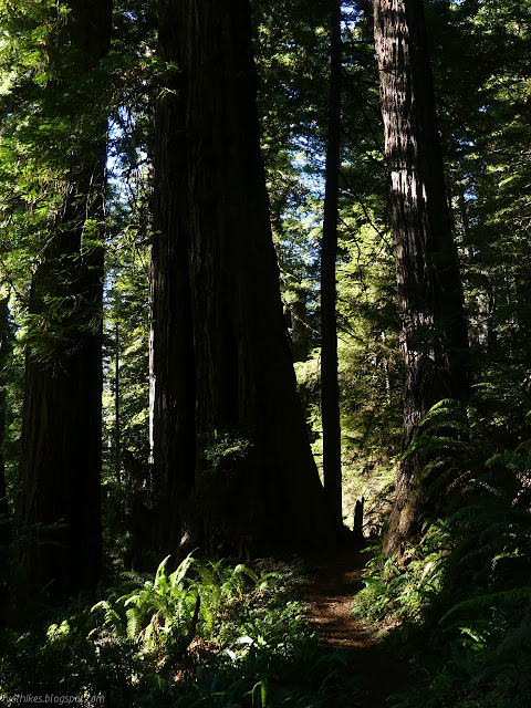
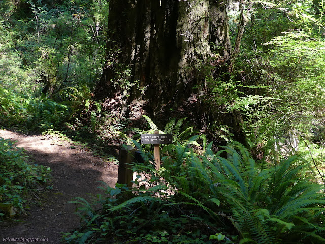
Then I got back to the bridges that wrap around the big trees in Hope Creek. It turns out, they were all one long bridge. It does wrap around the giant trees that grow in Hope Creek, though.

And so I arrived back at the junction and turned to drop back to the road below. I passed four people on the way. The first, a pair, mentioned that they never see anyone on this loop. The third said she'd carefully studied her guide to see what would be least crowded. Generally speaking, I'd say there's fewer people as you get away from the visitor center except for the crazy number going for Fern Canyon. It's a nice little loop, but I think the Western Ridge is the place to be on your own.
©2020 Valerie Norton
Written 6 Sep 2020
Liked this? Interesting? Click the three bars at the top left for the menu to read more or subscribe!


Comments