Redwood: Elam Creek Loop
Redwood National Park
DAY 1 | DAY 2 | DAY 3 | DAY 4
Purple line for day 1. Click for map.
I decided it was time to stop thinking about backpacking Redwood Creek and actually do it. It would probably be easy enough to "see everything" with a couple grand day hikes, but I felt it would be a nicer trip if backpacked. Planning has been somewhat delayed by the fact that I own a paper map of the area, but can't find it. A free permit is required to backpack in Redwood National Forest. Usually one must pick it up on the day at a visitor center and no reservations are taken. For now, there is an online form to fill out at least 48 hours prior and up to 2 weeks before. Like everyone else, they are reporting record visitation, but I was able to get a permit with my choice of camps with the minimum notice. It probably helped that I didn't ask for any weekend days and school was starting the next day.

I chose to hike from the lower end of Redwood Creek Trail. It is most easily accessed and the Park Service warns there are frequent car break-ins. There are three camps one may choose near here. Elam Camp is the nearest and may host horses in the corals, 44 Camp is the furthest and used to host horses, but does no longer. The third option is along the gravel bars of Redwood Creek and spans the length from closest to furthest plus some as the only dispersed camping option in the Redwood National and State Parks. I opted for Elam Camp the first night and the gravel bars the other two nights. I opted to arrive much earlier than needed to travel the 2.5 miles to Elam Camp because I also planed to do the Elam Creek Loop. Horses and other stock are not allowed on Redwood Creek Trail, but they are allowed on a group of loops known collectively as the Orick Horse Trails. It is easy to find a bad map of these trails. The Park Service does have a good one here. (I spent some time updating OpenStreetMap afterward, so that is better than it was. It was a straight copy of outdated USGS information.)
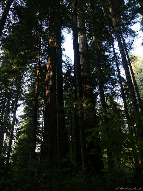
The first part of the trail has a few stumps, but then there's also big trees mixed in. I have to admit, the second growth portions of this are some of the best second growth I have seen. Still, stumps!

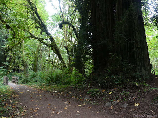
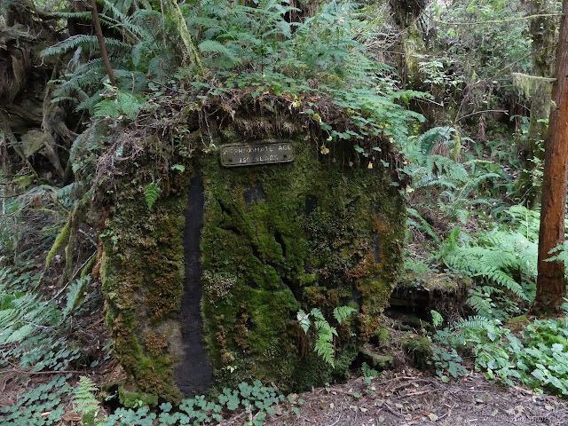
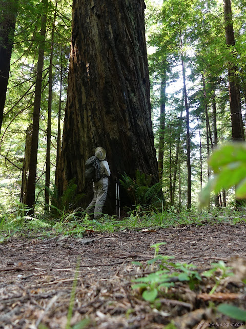
There's some impressive trees along the way besides the redwoods. There's a stand of Sitka spruce that are very sturdy looking and a few big leaf maples with a grand expanse. Okay, so you would only need 4 or 5 instead of 20 friends along to give them a hug, but they're still impressive.

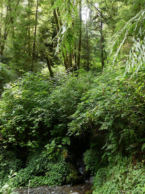
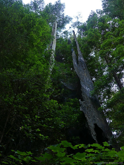
I came to a bench under a large big leaf maple which is the end of the line when the water is high. Once the water can be forded, they set up a seasonal bridge. I found it in three sections crossing various strings of the creek in its wide gravel bed with a few extra sections stacked beside the bench. On the far side, I couldn't see trail into the trees, but I could see where people were walking upstream a bit and then I found a big orange marker for the trail.


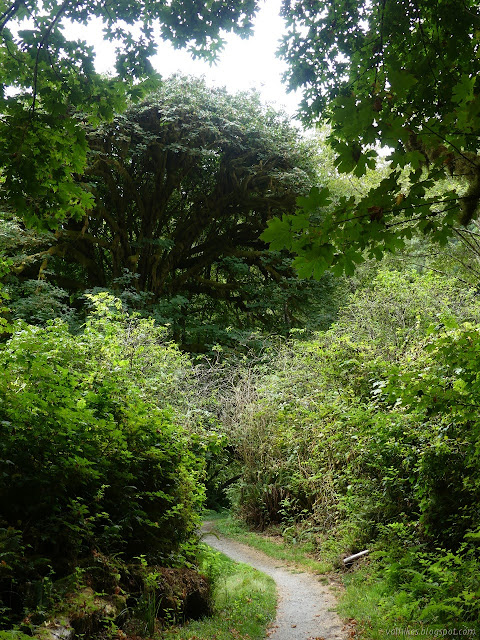
I followed it up into the trees, just a short way above the creek. Ah, what trees. More big maples covered in lichens reaching far over the trail and down to the creek.

I crossed over the bridge on McArthur Creek which marks the start of camping possibilities on the gravel bars. For some reason, a lot of the online information points to the seasonal bridge as the start of camping, but the actual permit says upstream of McArthur Creek, which makes the first permanent bridge the marker for where camping can start. I continued on to Elam Creek, which also has a bridge, but first is the short trail up to the camp.
I headed up the trail to the camp. There was already a tent pitched and a fellow trying for a nap outside it. I couldn't tell if he was still hanging out or perhaps already done for the day. At noon, it could be either. I expected still hanging out. I could be done for the day, but I chucked a bunch of my gear into the bear box and got going with what I needed to day hike. I kept to the former road along the side of the creek to follow the Elam Creek Loop clockwise rather than start the steep climb out on trail between the camping area and corral.
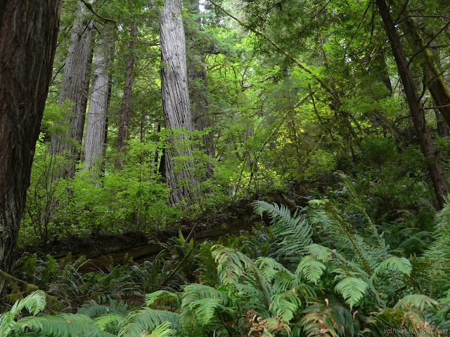
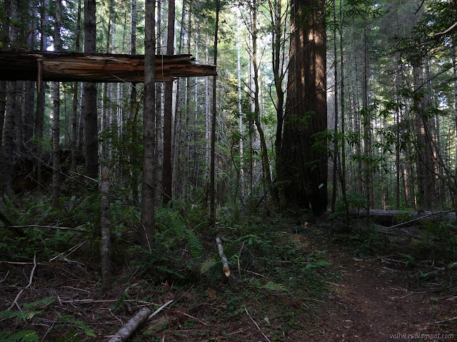
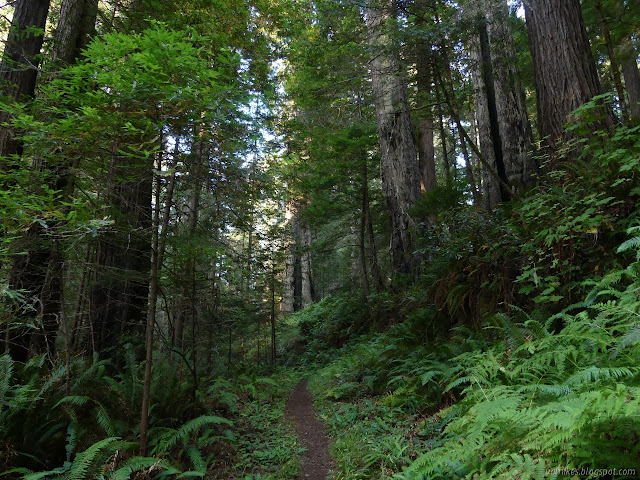
The old road passes through a logged area, an old growth area, but mostly passes above an old growth area. Functionally, this means there's some big trees to be seen, but often there is a screen of little stems to see them through.


At the junction, there seemed to be two well used roads and another disused road like the one I was on. That confused me since I was only expecting three roads, but one of the used ones turned out to just be a big turn around. The other disused road is part of the 44 Creek Loop signed as "3 Day Loop" and the service road is the continuation of the Elam Creek Loop signed as "Overnight Loop". I started up the graveled road which climbs so gradually, I could barely notice. It leaves the old growth entirely as it does.


It wasn't only the little roads that are returning to the forest. I passed a particularly wide road, one of the ones on the map, that was turning completely green. Further along, an unmapped road is actively used and is signed as the other side of the "3 Day Loop", which is to say 44 Creek Loop. It's a little confusing coming to intersections and having different roads than are marked on the map. I didn't get lost, but I also didn't end up on a possible interesting meander I thought I might do.

I found myself following an elk for a while, but it refused to stand even slightly visible for long enough for me to deploy the camera. He eventually wandered into the forest instead of continuing along the road. I also wandered into the forest on the other side to see if I might find a section corner, but nothing came of that. I did again after coming upon the bits of old road that are the McArthur Creek Loop (signed "6 Hour Loop") with similar results.

The first junction with McArthur Creek Loop came with the partial explanation that now horses and vehicles must share the road, but no idea where the vehicles come from. From that point, it quickly left the road to be a lot closer to the trees, but it is such a scruffy forest of close growing young trees that that doesn't really make it so pleasant. Forests aren't really supposed to be like that.

Then I came to a really big tree marked with a familiar sort of sign I really wasn't expected. "United States Department of the Interior Boundary Line National Park Service" it declares in green against a stark white background. The trails I was using don't leave the park, but I guess that is a more recently acquired section.
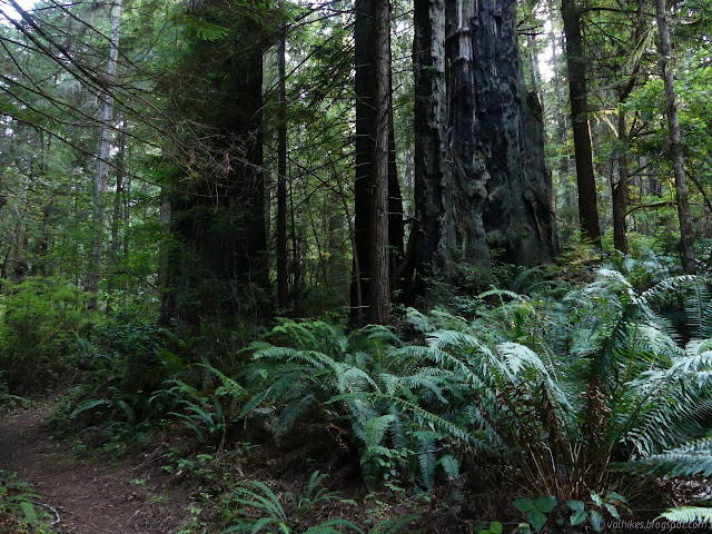
From there, a few more impressive trees started popping up and the forest got less littered with debris.
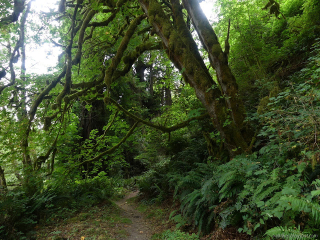
The last junction along the way is signed for a "3 Hour Loop" and "6 Hour Loop" and "Overnight Camps". That last is for me and it is a short way back to the Elam Camp. The trail becomes very steep as it drops some 600 feet in 1.5 miles. It certainly isn't "stock grade". The trees along the way are a mixed bag. The slopes around are also steep and may not hold up long enough for really old, and therefore big, trees.


The trees became interspersed with stumps shortly before the camp. There is a trail with decaying steps to a pit toilet just before it finishes dropping to the old road I started the loop on. I found the same tent, but then the guy was inside it trying to sleep. It was surprisingly dark for the hour. I pulled out my gear and sorted my food. Picnic tables (plastic ones that some stoves can't be used on) and a water faucet (non-potable, but comes very slowly from way up by the bridge where the loop trail crosses) for luxuries. There were mosquitoes under the trees, so I set up the tent without the fly. There is space to see the sky and it was clear, but I somehow never spotted any stars. There were a few minutes of moon.
Continue on to the next day. ⇒
©2020 Valerie Norton
Written 11 Sep 2020
Liked this? Interesting? Click the three bars at the top left for the menu to read more or subscribe!


Comments