California Coastal Trail Flint Ridge Section
Redwood National Park
Click for map.
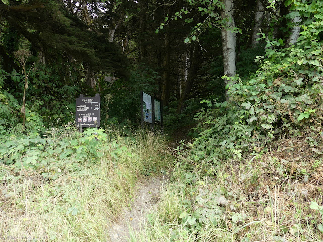
It is way too hot and way too smoky inland, so I think I will take refuge in some coastal hikes where the ocean keeps things cool and the weather might be overcast, foggy, or even, dare I say it, drizzly. It was certainly on the verge of drizzly when I turned to find yellow tape across the parking lot for Flint Ridge Trail. Although most things are open again, I missed the detail that this parking lot was not, but there is street parking for at least four cars on the other side of the road and I had my pick along that empty road. Also closed is the campground, but not the trail. I feel doubts that this trail is so popular that it needs these measures, but it is rated middling on Redwood Hikes, which is mildly high for that site. I accidentally came on an impromptu Fee Free Day celebrating the passage of the Great American Outdoors Act. Of course Redwood National Park is participating. It's free to enter any day of the year.

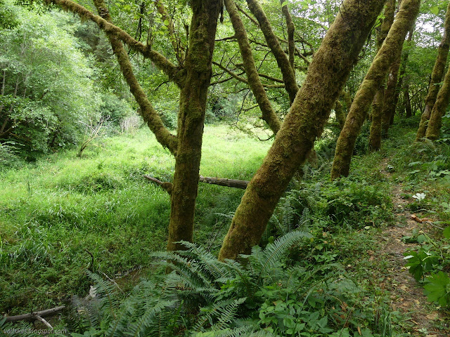
The trail is slightly overgrown, but not to the point of letting the blackberries become a nuisance. It comes around to a road with no sign of which way to go. I decided left because there is gravel storage to the right. I quickly found myself back at the road again. Besides seeing another place to park in a turnout to the left, that wasn't helping me follow the trail. I turned around and tried again. I should have taken another left just before the gate on the road where a dirt track follows another old road.
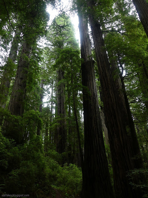
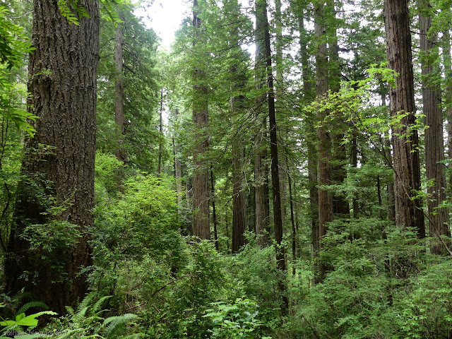
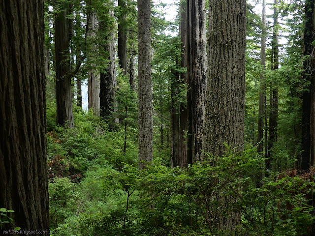
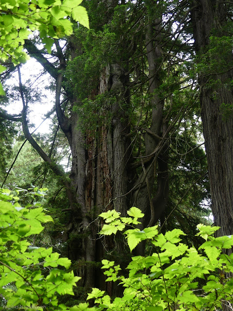
Except for a fallen tree that seems to be surviving so far, the trail is a little better maintained and almost looks swept as it climbs up into the forest. The first of it includes stumps. As it winds upward, climbing the ridge, it swings between stumps at the southwest and giant trees at the northwest extreme.


The trail stops finding its way all the way back to the logged trees and just stays to the growing giants for most of the way up toward the top of the ridge.

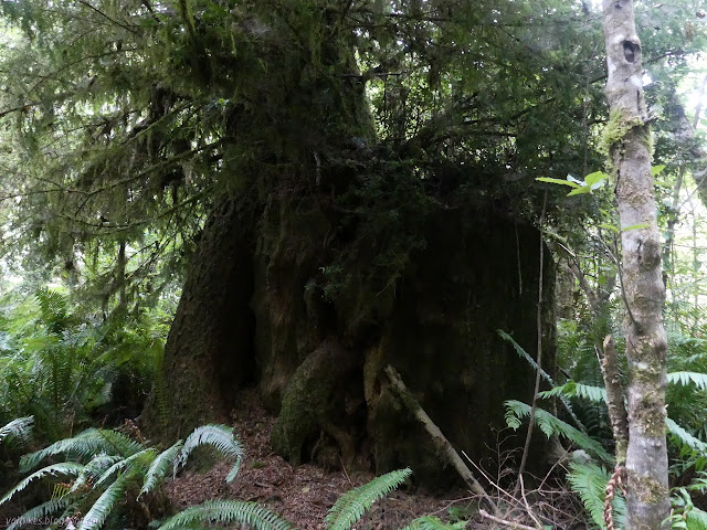
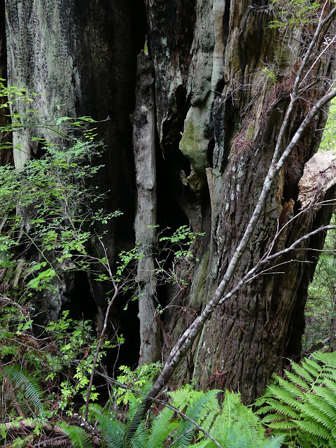
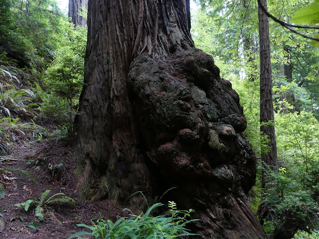
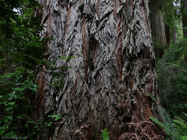
I stopped by one tree with particularly deep canyons in its bark and finally pondered how it got that way. The bark is fibrous and spongy, they'll tell you in whatever literature you grab, but I often see a macrostructure in it. It holds together in hard pieces with a vague resemblance to the puzzle pieces of the ponderosa and relatives, but that isn't the end of the story. Every year, a new layer is put on on the inside and a new layer of wood is put on inside that. The very smallest layer of bark is on the outside. This bark was slowly stretched out by the layers below, becoming spongy as the fibers pull apart, then finally fissuring into the canyons seen wrapping the tree upward.


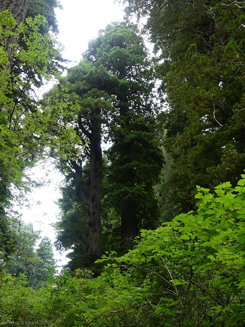
The trees change shape near the top of the ridge. They are shorter, but there seem to be a lot of bigger ones. The tops are crowded with branches and other branches droop a long way down the sides. Perhaps it's just that they're normally too tall to see those details.

There is a post at the two mile mark. The Redwood Hikes site above claims you've done all the best bits at this point and aren't missing much to turn around. I think there's at least a few hundred feet worth of grand trees that are definitely worth just a little more effort.
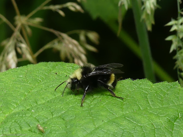
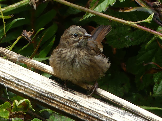
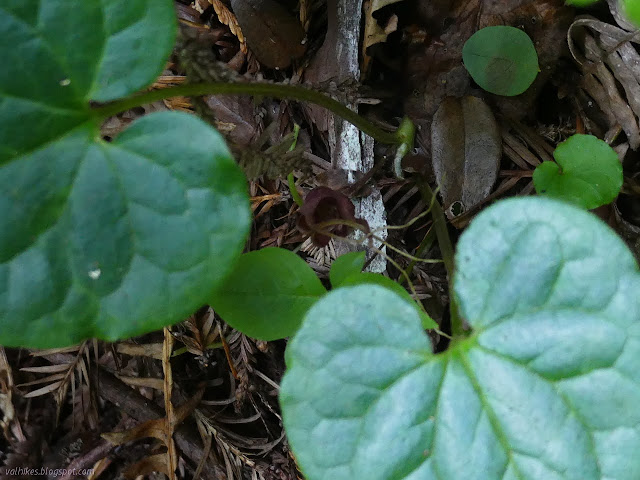
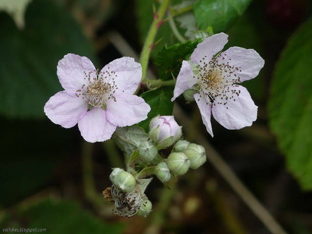
One drawback to being on the coast is that many of the flowers have already run their course, especially the leopard lilies that seem to be in their height in the inland wildernesses right now. I found a few redwood sorrel that hadn't opened in the overcast day and individual hedge nettles and little else along the ridge.

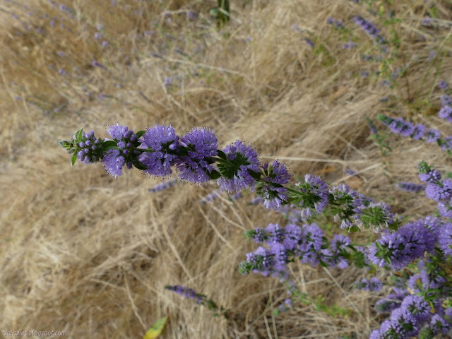
There's a couple really big trees that have fallen across the trail and the trail has been dug out below to give room to duck through as the trail drops and wiggles and drops further down the side of the ridge. The redwoods vanish once too close to the ocean, but the flowers increased. I saw a lot more things I'm fairly sure are invasive, too.


Lack of redwoods doesn't mean there's nothing to look at.

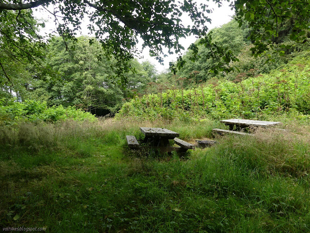
I poked my way up to check out the closed campground. (A free permit is required to use it.) It has a bathroom and numbered sites and a couple tables for each site and bear boxes and fire rings, but not so much room for tents in the thick grass. It would probably be better stomped down if not for the closure.
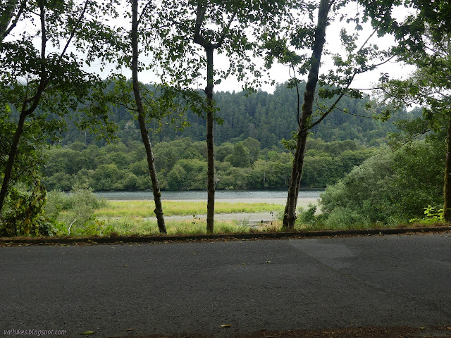
Then I headed the rest of the way down to the road and the second closed parking lot. Although I had been hearing the surf for the last mile, I only managed a few glimpses of waves in the distance. I was a little tempted to try the trails down through the blackberries toward Flint Rock Head. I got a little way down pulling aside the wayward bramble stems extending across the trail to get a little better view of the rock, but not far and even managed to return without getting stabbed along the way.


I gave only the briefest thought to visiting the radar sites from WWII that are along the road before turning back without doing so. I've stopped by a couple sites before.


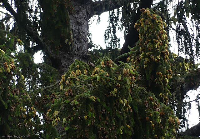
The first of the redwoods I saw were touched with yellow, presumably due to being the closest to the salt. They take over quickly as the trail climbs again. There isn't so much climb from the west side.


I passed the 2 mile post again. Everything else is downhill from there.


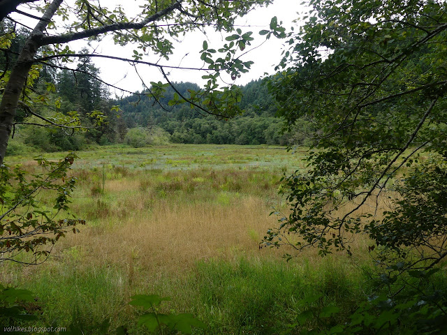
I passed the tree with a hole cut in its side and then the few stumps to get back to the pond.

After finishing, I wandered over the the stub of bridge remaining from the old highway. It includes interpretive signs about how the bridge washed away one storm. The new one also has bears to guard it, but they're in gold.


©2020 Valerie Norton
Written 13 Aug 2020
Liked this? Interesting? Click the three bars at the top left for the menu to read more or subscribe!


Comments