Redwood: 44 Creek Loop
Redwood National Park
DAY 1 | DAY 2 | DAY 3 | DAY 4
Following the orange line. Click for map.
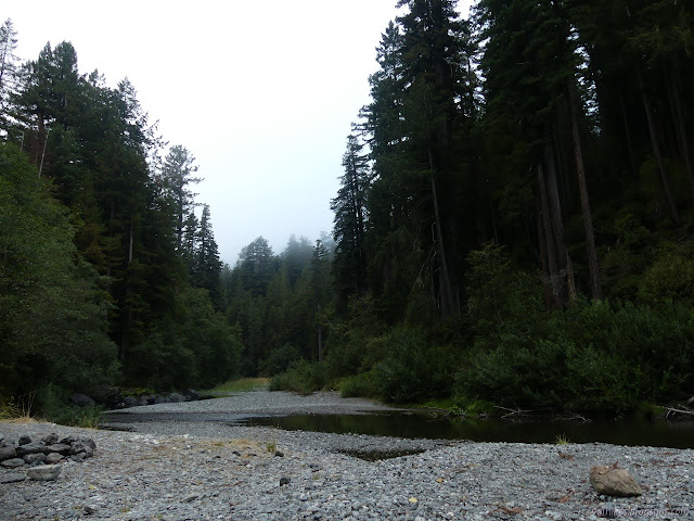
Figuring (incorrectly) this day would be a short one like the last, I dallied as long as I could before starting. It turned out, that was only an extra hour before I was tired of not moving. The sun had just crested the trees and cleared off the little bit of fog between it and me. I shoved my feet back into shoes with wet socks and started back down the creek.

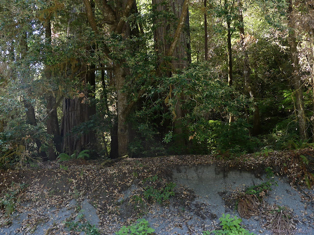
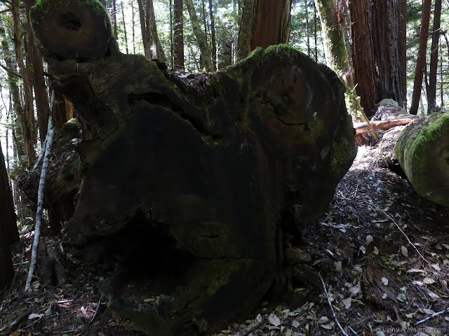
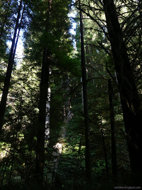
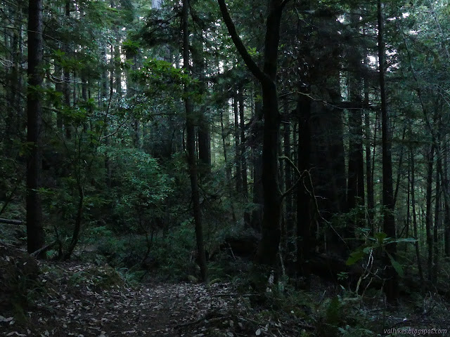
I found groves to poke my way into along the way between Emerald Ridge and Tall Trees. One was even quite large, but hard to get around for the 300 foot logs. Still, wood gatherers and bears have been making their way leaving accessible trails around the area.

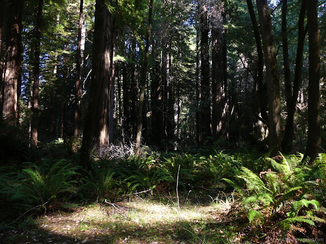
The logs seemed to mostly be across my way of travel, so I decided not to continue wandering within the grove. I popped out along another path through the blackberries. It was mostly okay, but there were a couple branches growing across it. I decided that if I was going to take on the pain, I ought to get a few treats and plucked off the juiciest of the blackberries on my way. There aren't all that many this year or I keep being in the wrong places.


There were a pair of campers (the same ones with the blue and tan tents) below another grove above high gravel walls with a trail developing. It was not nearly so large, but had more distinctive trees. They were certainly large.
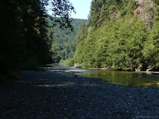
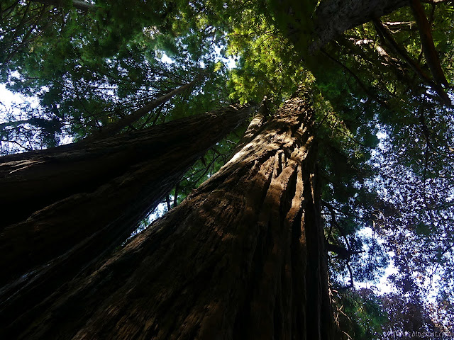
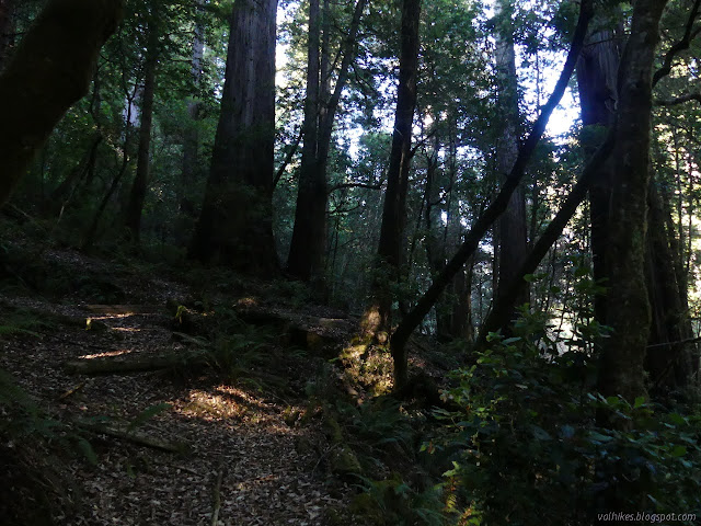
I found another particularly big grove of trees which, upon closer examination, had a trail. I'd gotten back to Tall Trees. I used a bench to wring out as much water from my shoes and socks as I could, then wandered the longer side of the loop through the trees.

They have a sign about people noticing the particularly tall trees a little way back after measuring ones closer to the creek at 320 feet. I decided to pop out along a trail to take in the view from the creek. Indeed, there's some that poke up a bit higher. They might have even signed the tall one. It's not the biggest around.


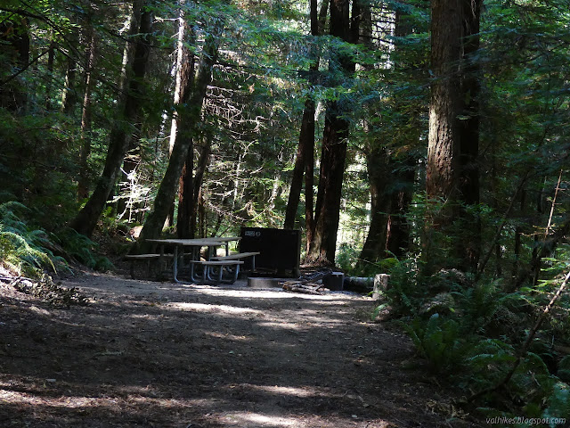
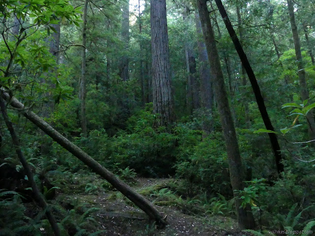
I finished the loop and walked back out and across the bridge into the cluttered young trees of the logged forest. At the junction, I turned up to 44 Camp passing through more scruffy, cluttered forest. It's about half a mile up to the camp.

I found the toilet boarded up so it can't be used. The sign said it was dangerous. The camp itself has three sites with lots of table room and little tent room each. I didn't see where the corral was and saw now water source. The closest is Redwood Creek, which my permit says I shouldn't drink. (Other sources of information say this is because it will try to poison you.)
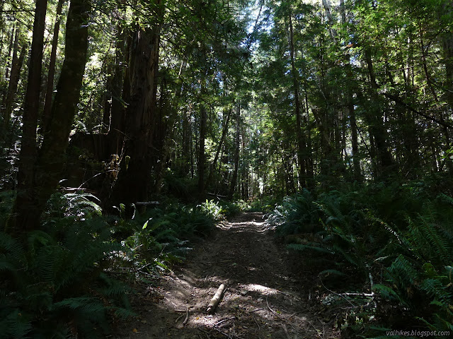
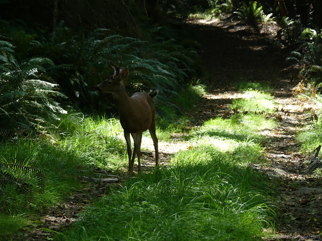
From the camp, it's more than a mile to get up to 44 Creek Loop. The trail is wider, looking like it is infrequently used as a road, but otherwise the forest is the same. This time I found myself following a deer for a while. The deer was not so good at avoiding pictures as the elk.
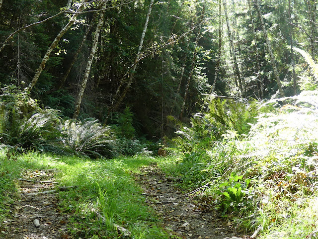
I found a few vanishing roads on the way, one that seemed to be being recovered. There's supposed to be some trail to cut a turn in the road, but I didn't see that. When I got to the loop, I found that the part of it I wanted to take is also vanishing road. It is supposed to be a horse trail, but there are clearly no horses passing on it. I walked down it as far as the first tree, not very far. I walked back to see if there could be any other interpretation of the sign. Between the sign and the map, there really wasn't. That was my trail. Of course I would find the one bit of trail in the National Park they have been forgetting to maintain. Should I feel proud of myself? But it's an old bit of road and so should be hard to lose, so how bad could it get? I started down it, jumping tree after tree.


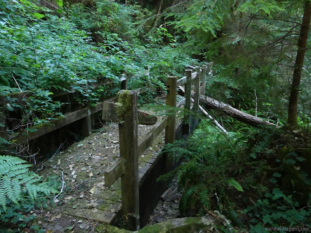
There were bridges. At first, it was just simple, wide plank structures over very small streams, then bigger ones over higher slots that someone decided needed handrails. That seems like pretty good evidence that I found the right old road for the trail. When I found muddy spots, there were only deer prints to mark the passage of anything on it.


I expected the trail to stay essentially as good as it started. They weren't exactly going to go anywhere else, except they could turn around and go back. I gradually got to places where it looked like only deer and bears went, then it decayed further to only bears. There was trail, but I couldn't see it under the growth that curved over it at waist height. I was feeling pretty determined to just keep going downhill by that point. I managed not to run blindly into any fallen trees, but it was due to an abundance of caution with each step.
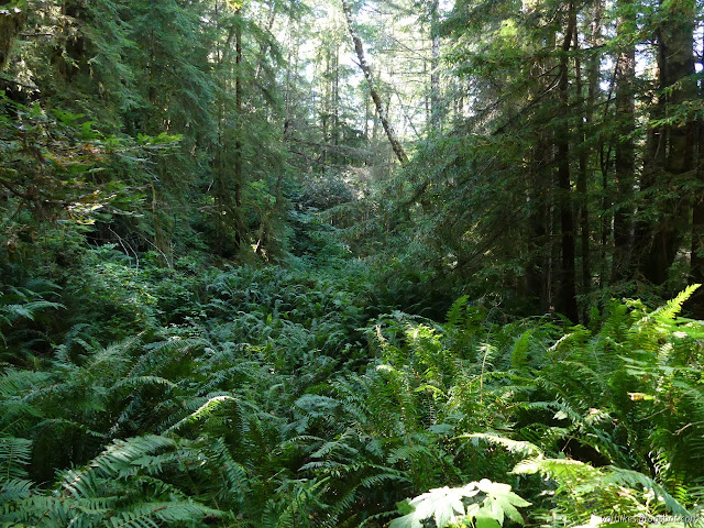
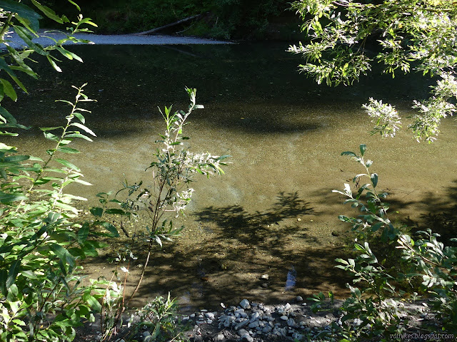
Ferns were usually easy enough to get by. Elderberry or thimbleberry, I'm not sure which, produced a lot of green and stink whenever I broke them. The branches weren't low enough to bother bear but they sure got me. There were very few blackberries to deal with, and I was very thankful for that. The section within half a mile of the crossing of 44 Creek was the worst part and the crossing itself has been rerouted by bear. I tried following the road, but there just wasn't any path through the green. Bear dropped off the side a few feet early, waded through the creek under another fallen tree, then very steeply up to the road on the other side. There was a lot more up than there had been down and I somehow managed to crawl under the log in the shallow water without getting particularly wet. The map indicates there is a section of old growth on the far side of the creek and I just hoped that would mark a bettering of the trail.

The trail did get better. I even noticed a ribbon on the ground that was marking... something. The trail is not supposed to go all the way down to Redwood Creek Trail, but turns up at some point. When I saw the second ribbon on the ground, I was suspicious I was about where it should start to climb from the creek. For some reason, the ribbon made me decide to look behind me, which was where it was. Except for the tree fallen across the very bottom, it looked good.


The trail very rapidly got better. It still wasn't getting any maintenance, but it didn't need a lot either. It was getting toward time to find camp, so I had a decision to make because I was still many miles of unknown trail from where I planned to camp on the gravel bar near Elam Creek. I could turn back and try the purposely unmaintained trail down the rest of the old road to Redwood Trail at 44 Creek. I could continue on and drop down on the better used trail marked "not a trail". I could continue on as planned, finishing an hour after dark most likely. The best plan seemed to be "not a trail" until I realized that Redwood Creek Trail is nowhere near Redwood Creek at that bit. It's not very close at 44 Creek either. If I'd signed up to camp at Elam Camp, I'd just hike it. That thought made me decide to go with it. Late night. Whatever. I figured if the rest of the trail was good, I could get to the junction on Elam Creek Loop by dark, so the hike in the dark would be on known trail.


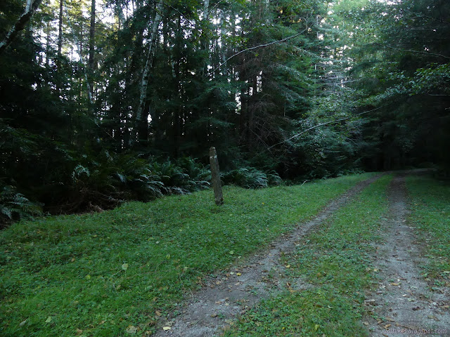
There was a tree down and needing attention, but it was the only thing keeping it from being clear after leaving 44 Creek. At the top, I was again on service road. The rest of it was marked "not a trail" while a post marked the top of the trail as a way for horses to go. The other way is up the service road, so up I went continuing to follow the arrows at the junctions. At first, it was only logged on one side, but then it is all logged.


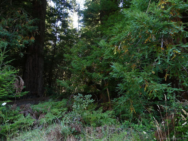
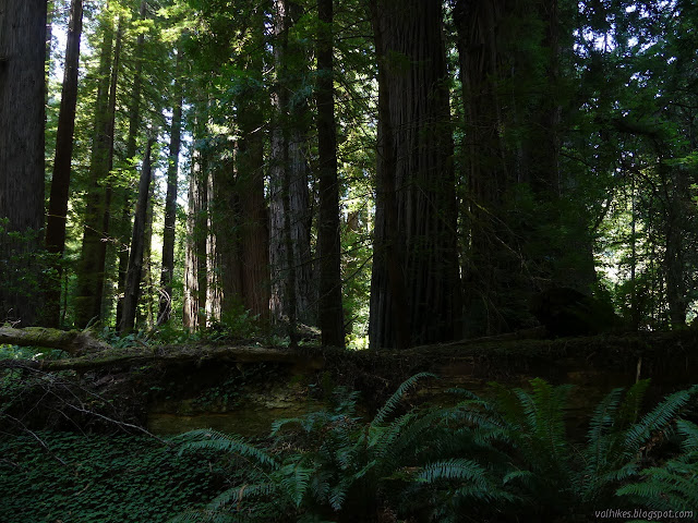
I put the service road behind me quickly and easily found the trail down to Bond Creek. This is supposed to be another section of old growth and it was quite nice. Also, the trail was good. It even had recent use by horses that I expect came in on the service road cutting off a chunk of the loop and all of the unmaintained trail. I think they even cleared a couple small logs which made my passage easier too.


I quite liked the leg stretch down and back up from Bond Creek. If one can handle the half mile of possible thrashing to come up from Redwood Creek Trail near 44 Creek, it is certainly worth it. It's a different look at the trees. Otherwise, there is the "not a trail" that looks better used. Being surrounded by old growth came to an end heralded by a nice, big stump. From there, it is another section of old growth on one side until intersecting with the Elam Creek Loop.

I pulled out my light when I got to the junction. Something was different about it and I couldn't find the sign. It had fallen over in the day between. I walked the last two miles about as fast as I could, listening for water that would tell me I was nearly there. I had thoughts about just stopping on the road a few times where there was enough room to camp and a small stream. I kept going. The camp was occupied and after I gave him a bit of a start, we chatted. I was planning to cross the bridge and drop down to camp, but he said that was already taken. I went anyway and it was. There was no place to camp on the other side of Elam an I didn't want to cross Redwood Creek, which can be deep, in the dark. I walked back upstream and found a spot, then back past their camp again to get some water. I didn't bother with the tent that night but didn't get any stars out of it. No bug bites either. The mosquitoes were still keeping to under the trees.
Continue on to the next day. ⇒
©2020 Valerie Norton
Written 13 Sep 2020
Liked this? Interesting? Click the three bars at the top left for the menu to read more or subscribe!


Comments