Redwood: Redwood Creek
Redwood National Park
DAY 1 | DAY 2 | DAY 3 | DAY 4
Following the blue line. Click for map.
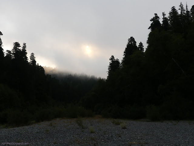
I decided (correctly this time) I had plenty of time to while away and didn't get started until 10AM. I guess my ability to delay starting is dependent on how sunny it is and the morning was less sunny than the previous one. My electronic map said I was camped practically on top of another tributary to Redwood Creek, so I went exploring for it. I eventually found it, at least I could hear it. There is a pool at the bottom, which is the only place it was accessible for water collection. It wasn't all that attractive because there was also toilet paper left on the ground about 20 feet away. It rather confirmed a suspicion that it is sufficiently difficult to get up into the forest away from the creek that at least a few people won't bother.
When I did get going, I stopped to apologize to the neighbors for coming by so late the night before. They were sitting in their chairs on the crest between the two creeks. They asked why I would be leaving this beautiful place and I suppressed an urge to mention I could hear the traffic faintly and instead implied there were grand things waiting for them to find if they explored. Their plans were only to maybe day hike up to Tall Trees before settling back down in the same spot. I took one last moment to enjoy that my feet were dry before stepping into the creek. I had decided to do the last mile or so before the seasonal bridge along the creek instead of the trail.


I found more campers. Just after the first crossing, there was one person lounging in their hammock beside their tent. After another crossing, I found a pair on a high bit of gravel behind a stranded log. They'll allow up to 50 to camp on the gravel bars each night. They could stretch out quite far, but they do tend to clump a bit.
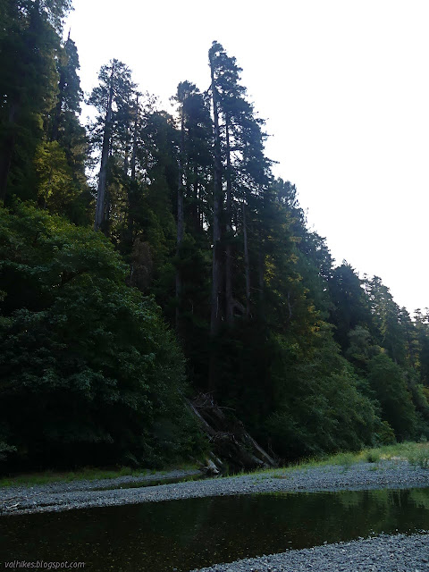

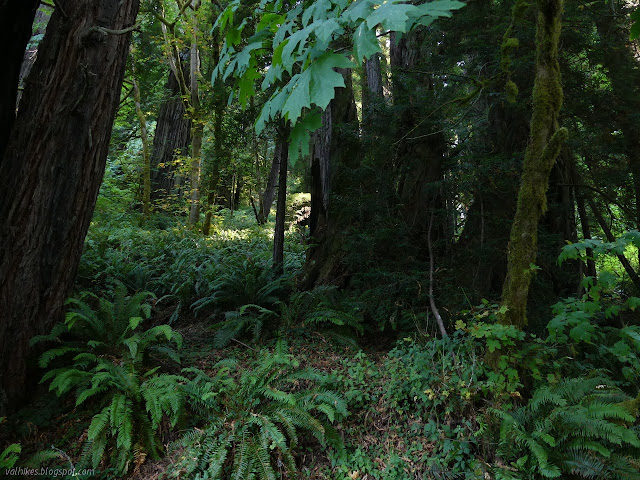
I could just see the bridge over McArthur Creek in the gloom of the trees as I passed. There were no more campers downstream of it. I spotted hikers ahead on the side of the creek. They were just following the trail as it got around to the seasonal bridges. I had a few more bits of water to slosh through, but I was nearly to the dry again.

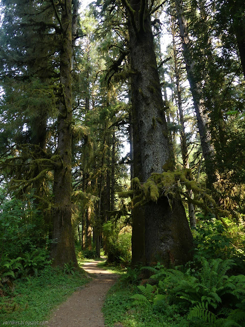
I ended up crossing on just one of the bridges to the trail. I poked around the little trails on that side, but found they didn't go far, then stopped on the bench to wring out my shoes and socks again. I put on dry socks and they did a good job of staying mostly dry when I stuffed them back in the moist shoes.

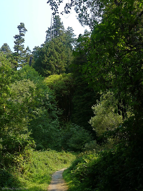
And so I retraced my steps back the last 1.5 miles to the trailhead.
I finished by noon ready to head out to a couple little day hikes before returning home.
©2020 Valerie Norton
Written 14 Sep 2020
Liked this? Interesting? Click the three bars at the top left for the menu to read more or subscribe!


Comments