California Coastal Trail Klamath Section
Redwood National Park
Click for map.
Out for another trail section of the Coastal Trail, I headed to Lagoon Pond, the north end of the segment. The south end is closer to me, but the parking at Klamath River Overlook is closed for now. The picnic area is functionally a road side rest area, but offers a small loop trail that connects with the Coastal Trail in a few feet. There, signs point north and beach access or south and a few destinations. I turned south.
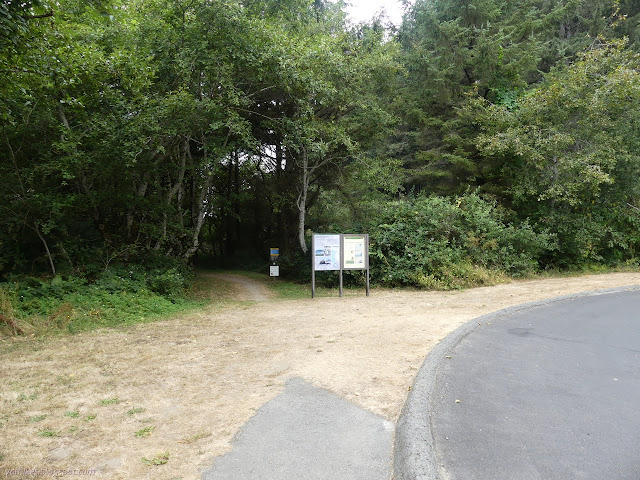


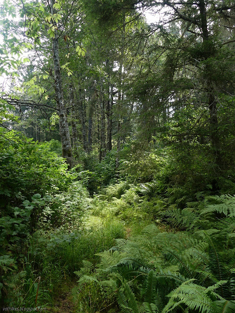
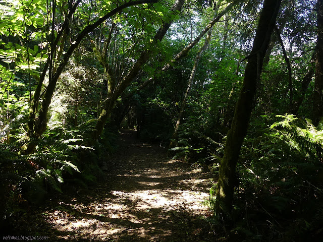
The trail splits again, pointing left for the loop and right for the Coastal Trail. I went right. The trail is a well cared for tunnel through the green. The sides look mowed and the cut shows off some of the shaping the salt winds have done to the spruce that climb the hill side.


There's the second junction for the Yurok Loop Trail, also signed, and I keep right again. Not signed is a junction with something that looks like it was a road that drops down to Hidden Beach. I decided to have a look at it. It is only a very short extra bit.


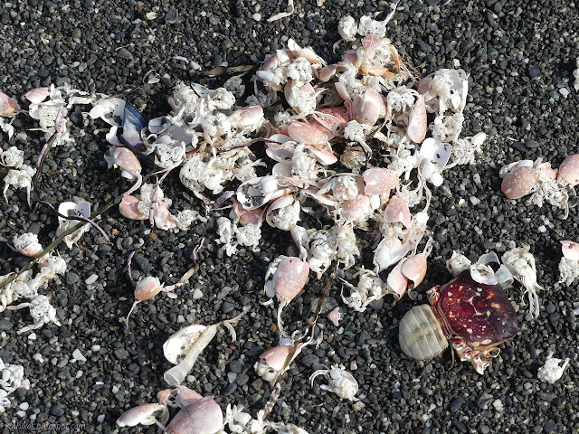
The beach is one of the destinations that was on the sign and marked as only a mile. It has had a lot of visitors and many of them have built huts and lean tos with the drift wood. It is so well visited that although I had it to myself for a few minutes, there quickly came another couple groups. The beach had little wildlife at that moment, but the bones an a little more of a former seal could be found.


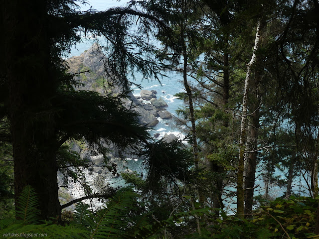
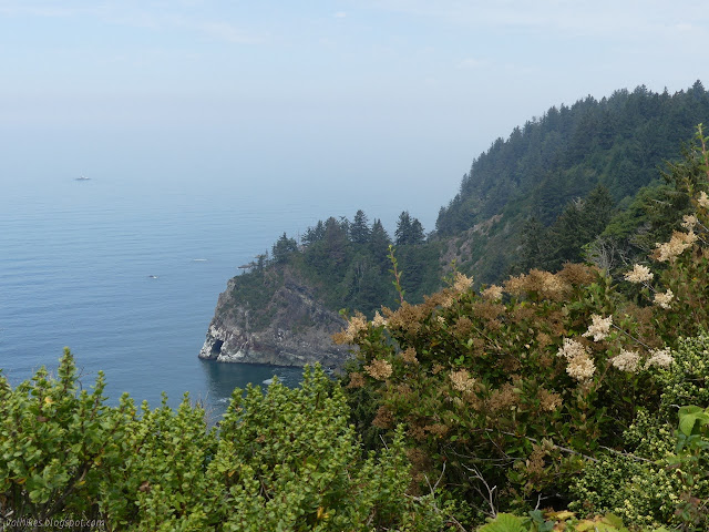
Shortly after that junction is another for a trail that goes to the highway. I'm not actually sure where it reaches the highway, but I think it is around the Trees of Mystery. I didn't need to see the Babe the blue ox or Paul Bunyan (in a mask, or he was the last time I noticed him), so I kept on going. The trail gets up higher on cliffs as it goes.
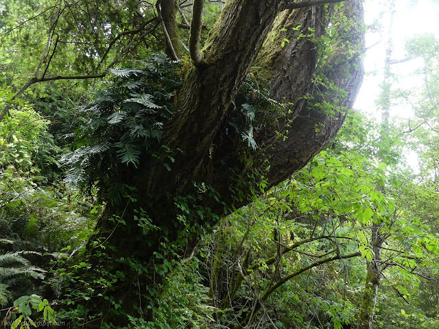

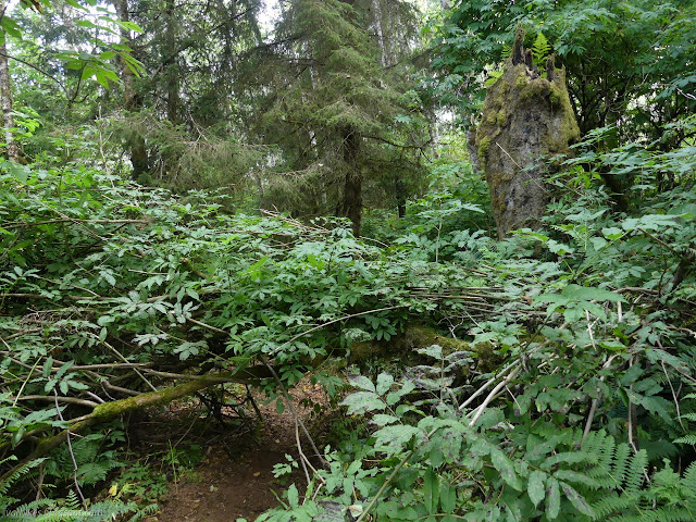
The mowing stopped when the trail took a short, steep downward tilt that suddenly lost about ten feet. Mostly it is flat, but not totally. Afterwards, the tall stuff closed in and very soon, the obstacles started. There are a few downed trees on the trail, half of them still living. It still obviously follows old road bed and has plenty of room.
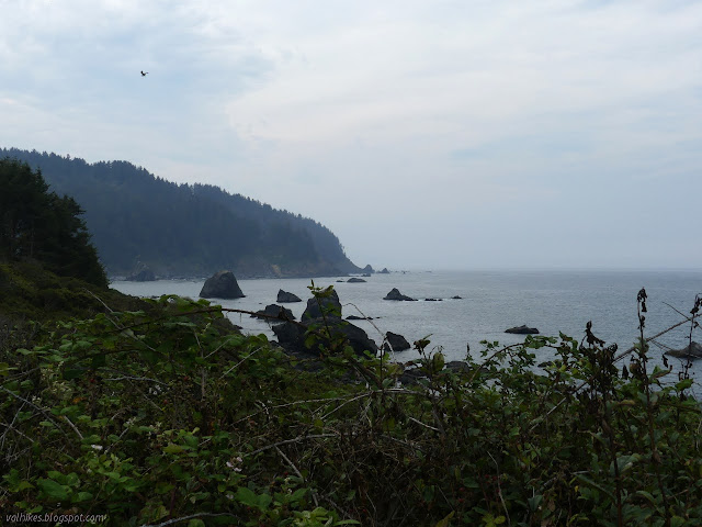
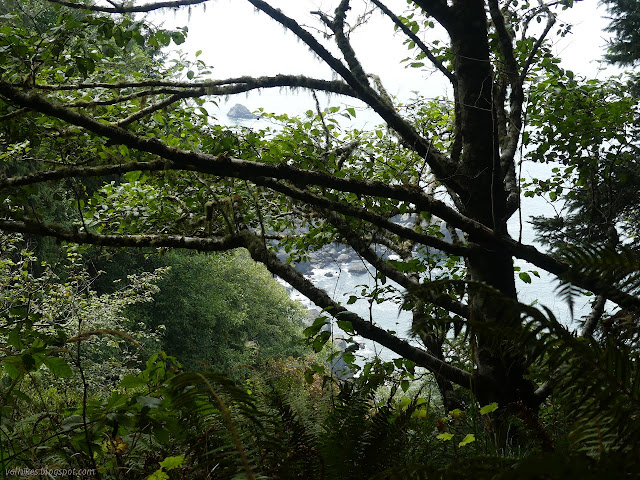
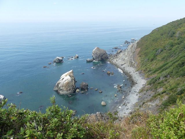
There's not many places with a view of the ocean, but I find I like this trail. Something about the way it all grows and how it is carved out of that growth is pleasing. There are some nice spots on the Mad River Bluffs that were pleasing like this too. I was having a very pleasant walk when I heard all sorts of barking below me. There was no way to see how many, but harbor seals, elephant seals, or sea lions were populating a beach below me. This is one marked as "Hidden Beach" on OpenStreetMap, either through sloppiness or knowing better. Hey, they could sign the other one as Hidden Beach to keep people from visiting this one. Considering the way this trail is drawn on the map, I suspect it is sloppiness. I tried, but I found no place to see the seals below.
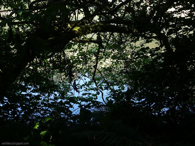
I noted on spot seemed particularly moist and followed an animal trail inland a short way to find a murky pond. The old road bed looks like it is on built up dirt in that area, so it might not have been swamp area before. It certainly is now.

There's even an old lookout point with wooden railing. It's still hard to see much actual coast from it, but it is a nice view.


I got to a nice, fairly new bridge over a fast running stream and suspected I had left the no maintenance area behind even if it wasn't mowed like the other end. Unfortunately, I was seeing more invasive species including ivy. One more signed junction and I took the right to head down to the Klamath River Overlook. This is another fenced in lookout point that is down on one of the headlands that might one day become a stack. It hasn't yet, but it is still a long way down.

I hiked back up and the last little bit to the end of the trail section to find that the closed parking was doing quite extensive business. Someone had chucked the barriers to the side, but the bathrooms were still locked. There wasn't a lot of paying attention to the regulations that were still clearly marked, either, since I found myself sharing trail with off leash dogs. Pets are only allowed in campgrounds and parking lots in the National Parks. The State Parks take a very dim view of dogs on their trails, too, so it doesn't really matter that they somewhat obscure exactly which park you are currently in up here.

And so I headed back finding a few others hiking from the other end to the overlook. It was a bit more crowded than I expected. I wouldn't have gone for it on a Sunday had I known.


At the loop trail, I went right again expecting to wander beside Lagoon Pond. That expectation was met, but the expectation that I could therefore see the pond was not. The trail may be about twenty feet from the water edge, but the vegetation is so thick it is hard to see water anywhere.
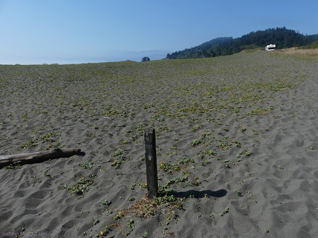
It was still the middle of the afternoon, so I followed the signs for the north route. Here, the trail just goes along the beach or the road. A single post marks it on the beach then nothing until a sign on the far side of the road across from the parking lot at the north end of the beach that just indicates trail follows the road north and south. Somewhere not too far, it is supposed to head off above the road. I had dismissed it after seeing it on the map, but it seems to have better reviews than I expected. That section is a bit too long for an afternoon. I got as far as a rock dump that helps keep the road from eroding and stopped because the ocean was washing up onto them a little. I didn't feel like going up to the road or navigating the boulders to get past.


I headed back and finally had a moment to look at Lagoon Pond. On the parking lot side, there are cuts through the surrounding growth to allow folks to meditate upon the water.

In the unlikely event that anyone needs more seal audio recordings, I tried recording them from a couple other locations, too. The first recording has more bird song, but the seals were quieter. During the third one, I noticed there was a spot of beach I could see and zoomed, which was a mistake because that adds a sound. The seals are louder, but there is little bird song.
©2020 Valerie Norton
Written 30 Aug 2020
Liked this? Interesting? Click the three bars at the top left for the menu to read more or subscribe!


Comments