Down the Gila River stopping by Alum Camp
Gila National Forest
Click for map.
Off the other direction from Grapevine Campground on a little spur of road is some day use only parking signed as a trailhead that does not appear on my Forest Service quad. What does appear is trail coming up the river just as far as a "spring (hot)" about two miles down. Besides the signs assuring me this is a trailhead, not just river access, there is not much indication as to where the trail goes. An information kiosk on the downstream side sits beside heavy trail to the water but nothing visible on the other side. Some trail wanders up a little to the confluence of east and west forks, but that way is private property. Asking OpenStreetMap for a second opinion indicates that not only is there trail here, but there is something too famous to bother to spell out: CDTGR. There are also a couple Continental Divide Trail through hikers splashing through one last crossing before heading up to Doc Campbell's, purveyors of homemade ice cream and shipping point for resupply boxes. Also supporters of getting blog posts out to the masses as the only means of internet (provided free) on NM-15 after Silver City fades from view. The actual CDT is a bunch of miles east and the divide itself is even further east, but the Gila Route alternate is quite popular. So that's CDTGR. Not that that is particularly important to me since I just want to make my way down the river, investigate the "spring (hot)" and whatever else strikes my fancy, until early afternoon when I shall turn on my heal and start back up. The map says just cross the river and start down along those rocks over there before promptly crossing again, then there will be trail to follow.
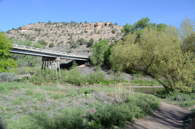

The river is cool, but not particularly cold, not even still somewhat early in the morning. Sure enough, after about a quarter mile and two crossings, there is trail with a sign to tell me how far to all the best destinations. The trail through the flood plain of the river is well established and doubles up sometimes. There are a few camp sites off to the sides, some nearly hidden. I am surprised by how much room there is between the canyon walls. Also by the downright religious fervor of the next CDT through hiker who tells me I am going the wrong way. The trail is solid northbound footprints. It needs some south (actually west a lot of the way) prints! No, I am going the wrong way and Doc Campbell's is that why. He hasn't even got there yet and he loves it. That was yesterday, try to live a little more in the moment! I should have just told him first thing he's hiking the wrong trail.

There are all kinds of big trees around. Ponderosa in the drier areas stretch up the highest while sycamores by the river seem to try to match them, but put too much into spreading. Cottonwoods and oaks fill in the lower spaces. Grapevines grow thick up some trees, but not on most. I ponder at one vine thickening the trunk of a ponderosa to three times its size going up 30 or 40 feet, then stopping abruptly. Maybe I'm just following the lead of the name of the camp to think they are grapevines, so I pause to examine them. Yep. Grapevines. Some even have pin head sized grapes starting up. It's a little early for eating them.


The map with the trail shows that it crosses back over the river shortly before the spring. My enthusiasm to be almost there leads me to take a rather thin trail to the side instead of a crossing. It would seem to be a very little visited spring as the trail gets thinner, then just hard to see as there is a ledge of rock past a lovely display of yucca flowers, and I am finally almost forced into the river before the trail crosses back. So I missed a pair of crossings. As it crosses again, there is a wide, sandy trail to the spring. It gets plenty of visitation. It even has a pair of hikers sitting nearby chatting although the pools are empty. Hot water flows down the rocks in a thin sheet into the comfortable bathtub temperature pools. Just the way I like it, except it is already a bit warm for sitting in them even though they are still in the shade. The pair seem to think so too.


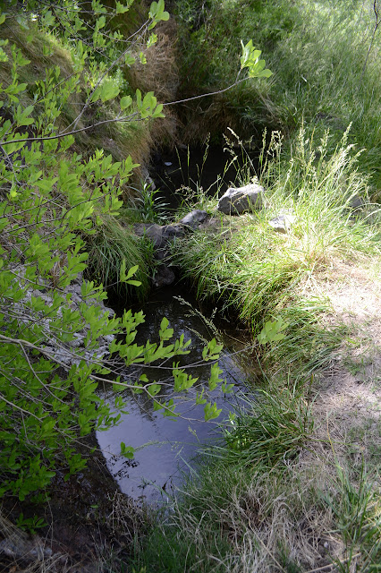
The river can be crossed near the hot spring, so I do. It is a bit deeper than the generally below the knee fords the trail uses, but doesn't get more than halfway up my thigh. So on it goes, following trail up on the flood plains noting how high up debris is stacked on some of the trees, sloshing through the river to the other side when the bank vanishes. Once it even climbs high up for a little variety.


There is a sign for a trail that comes down off NM-15. The Forest Service topo doesn't have it, but OpenStreetMap does. It says another quarter mile to Alum camp and then I miss the main crossing because of the random camp on the trail next to it. It is a very long quarter mile before a thin, unsigned trail heads out across the particularly large sage covered bit of river flood plain for another quarter mile and a river crossing. Do I really want to cross the river just to see some camp that happens to be marked on the map? I've already crossed it far more times than my brain is willing to keep count, so it's not like I'll notice a couple more times in the mix. The trail is even thinner on the far side as it climbs up to the camp.

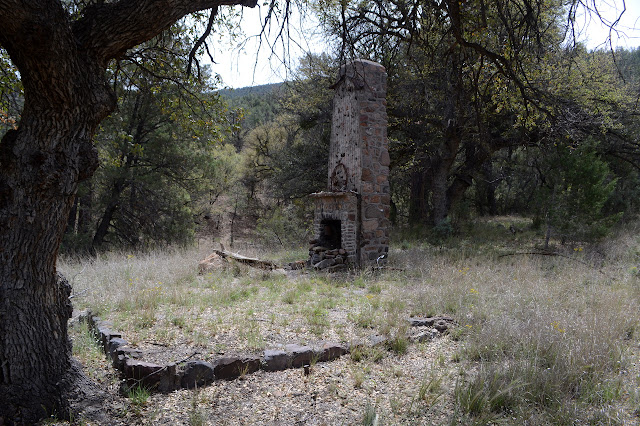
The camp is actually an old homestead. Cool. The chimney stands and has some very interesting decorations including a mangled bicycle. Pots hang from hooks within probably set for kettles. The outline of the floor is still plain to see. It was just one room and that not very large. The chimney seems oversized in comparison. Behind it, there is a large corral which has probably had a lot of help to survive this long. A little use trail with markers continues up the canyon and I wonder where it might go. My thought is to the mountain, of course. This seems like a good approach, up through the canyon and then wrap around from the south side. Somehow I keep to my river following goal and turn back before going too far along it.

Besides, just a little further along is another benchmark. Since the last one was 1903, I am excited to see this one. At least, I am until spotting the crumbling cliff it should be somewhere around. I've seen a 1905 on the side of such a cliff, but if this one was, it has crumbled. Low would have washed away. I scramble up, but high probably crumbled away or got covered in dirt. I'm up here already, so I scramble a little higher toward little shoulders. The only thing I see up there is a large group of horses and riders passing below. Actually, quite a few look more like mules and the last could be a donkey.
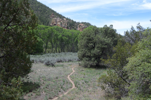
A little further along is the signed junction with the trail over Brushy Mountain. In this case, only this end of the trail is missing from the Forest Service topo. OpenStreetMap shows it, but incorrectly. It crosses contours in an entirely untrail like manner and has the junction off to the east. You can't win them all. (Admittedly, the contours on it are crude, but I'll get confirmation in a few days that the trail follows a different ridge than the FS and USGS show it ending on and then comes down in a much more sensible manner.) Just 4.5 miles to something that's been catching my eye! This could have been a peak bagging day! I started a little late for it, so again I manage to keep to the plan.

The canyon is getting higher with little cliffs toward the top of the big slopes. The huge group of riders if having lunch among some trees, the animals tied up every which way. Only one butt is sitting at a perfect kicking distance from the trail. Well past them, I look back to find that a dog so tall its head comes up to my shoulder is following me. It seems to think I'm doing something much more interesting than sandwiches. Back to the horses! The huge furry face seems to fall, but he turns back.
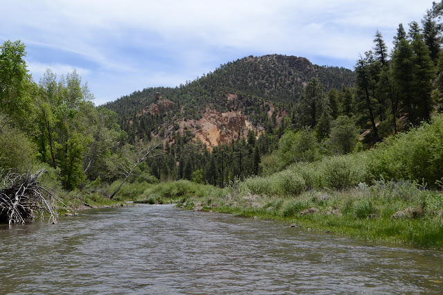


I heard some of the through hikers wondering how old a burn they walked through might have been because it still smelled like smoke. Ahead of me is a burn. It does look very recent. The trail splits into an old and new route to pass through it and I take the old. There is no reason not to, there are no obstacles now. There is a camp to the right. Did a campfire there turn all these trees to ash?


The burn only lasts a short way, then there is green again. Then there is another burn. It is about time to turn around anyway, so I decide I don't need to walk through more burn. I probably don't want to be getting through that last ford too late. I could swear the river is smaller down here than it was where I started.


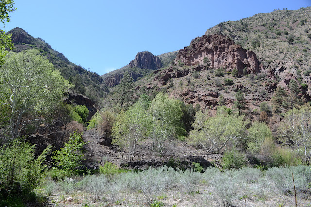
One bit of trail looks like it might get me around the river without a couple more of the crossings I did on the way down, but as I follow it, I start to question if that is even desirable. The river has cut off a bit of its bend leaving a lake behind and quite a lot to walk around as an alternate to crossing. If it goes through instead of having to wade through the stagnant water. I wonder at how I missed such a big feature of the landscape coming down, but a little bit of green can be excellent at hiding things.

Suddenly the grass where I have just passed erupts with a soft but unmistakable buzzing although I can't see anything. I stop and listen carefully for the location, which I expect is past striking range, although it sounds a little odd. Once I finally find it, behind only a few blades of grass beside the narrow trail, it doesn't look any bit odd. Oversized diamond head on a tiny black and brown snake with rattles at the end. But I already knew the rattlesnakes were out.

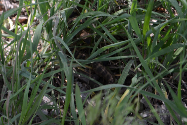
The rest of the way back generally relies on the easy river crossings as the general threats to my safety. Hiking is, after all, a dangerous sport. I think I might take the usual trail where I know I can skip two crossings, but the wind seems to be powering down the middle of the canyon making it cooler and dunking my feet less attractive. To the side, it is very little, but on the river it makes for some very funny feather styling on the ducks.
©2019 Valerie Norton
Written 1 Jun 2019
Liked this? Interesting? Click the three bars at the top left for the menu to read more or subscribe!


Comments