Treasure Falls
San Juan National Forest
Click for map.
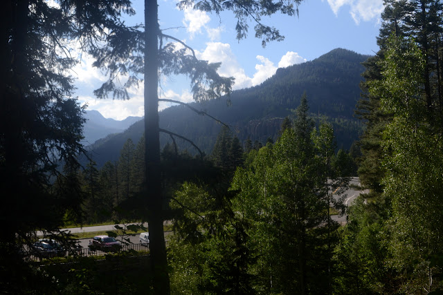
Another reason I didn't go after Alberta Peak while hiking Treasure Mountain was that I wanted to be sure to have some late afternoon light to hike west facing Treasure Falls, not that it was looking anything but gloom at the moment I turned away from continuing southbound just a little further. There seems to be a parking area for westbound traffic on US-160, but it does leave you crossing a highway (signed at 45 MPH in that area, but everyone doing 60+) to get there and neglects to look like it is meant for parking instead of just a big, random turnout. On the other hand, shaded and uncrowded at this prime waterfall looking hour.

I really should have taken it, but was too slow on the uptake and I can make that turn. The trailer only makes it harder to do a three point turn, or anything that involves backing up, really. A sign points left for the interpretive trail and right for the "primitive" trail. Funny enough, I don't feel much need to take a primitive trail and stroll across the bridge for the wide path with plenty of signs and benches and even a couple lookout points. A sign at the bottom marks all these details and adds that switchbacks should not be cut "for your safety". Meh on that, but how about so you don't destroy the trail and turn the whole area into an ugly mass of muddy tracks joining the various trail segments. There are quite a lot of hikers who can't seem to notice that and keep cutting the switchbacks, making it just a little bit worse with each step. Being law abiding citizens must be so hard. I mean, who can imagine taking 6 more steps rather than cutting a switchback?


I take the spur to the first lookout point to look out over the valley. The late afternoon sun isn't too useful for that. Then I continue upward. I have plenty of time, so read the signs as I go. They are a mixture of generic forest information and specific geology and everything in between.


Near the top, the trail splits for a bridge and a "deck" for viewing the waterfall. I go for the deck, which is just dirt with a railing. This is indeed a prime viewing hour. It's an okay waterfall. I have to admit, I harbor a suspicion that the unnamed falls I looked to from the memorial ridge might have had more water and a longer drop.

Then on down to the bridge with its own view.

Then on to the Blowout Overlook. The sign with this one talks about a debris flow that came through and changed the valley significantly, as they'll do. The primitive trail continues on from here, so I go ahead and take it down. There are plenty of people coming up it, too. The sign at the bottom says it is steep narrow trail and hazardous when wet. There are some steep spots but the sign seems slightly overblown. The trail does not seem enough to satiate those who want to wander just a little off trail and there are plenty of extra routes along the way.
Then I'm down and on my way again. Admittedly, in the wrong direction, but there's a nice, big, empty turnout on the other side to help out with that.
©2019 Valerie Norton
Written 4 Sep 2019
Liked this? Interesting? Click the three bars at the top left for the menu to read more or subscribe!


Comments