Treasure Mountain
San Juan National Forest
Rio Grande National Forest
Click for map.
I was thinking I might do a loop of Treasure Mountain Trail, some gravel road, Silver Creek Trail, and the Continental Divide Trail backpacking, but decided against. But I can still do Treasure Mountain. The starting point is up on Wolf Creek Pass as the CDT follows along the Continental Divide. Treasure Mountain Trail drops off the side after about 2 miles. It doesn't actually go up the mountain, but I can fix that with a little bit of cross country.

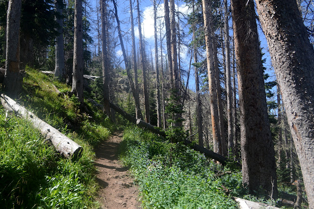
The trail going south seems a lot more defined than the one headed north. It crosses a meadow and then a creek with a bridge. Talk about luxury. Then up through the beetle killed trees where it needs a lot of maintenance. It has gotten a lot, too, but there is more work now. These beetles know that killing their host is not only considered bad form, but bad judgment, surely? They won't have any food and we won't have any spruce. Or whatever these used to be.

As the trail breaks out to the ridge and above the trees, it is pushed onto the Pacific side by the ski resort mostly on the Atlantic side. Lots of view with more to the west coming around with each step. First there is something that might be Treasure Mountain. No, it isn't. A little further there is something that is definitely Treasure Mountain and the long drop down to the East Fork San Juan River.


The trail is signed where it drops off the side of the divide, but, if I'm being honest, not actually there. The map says right down the hill, which is a tiny bit steep for that sort of thing. Whatever. Right down the hill it is.
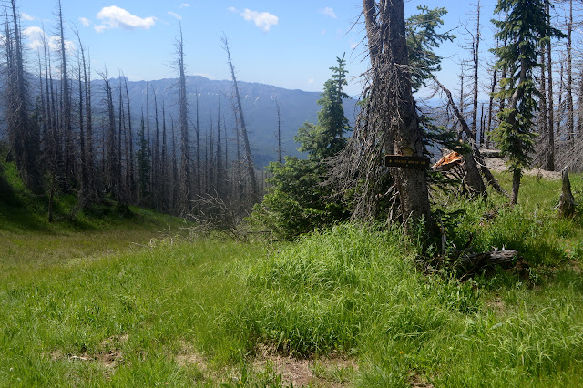
After a little going down, I pull out the electronic map with the GPS dot and ask what it thinks. It thinks I should have tended to the right a bit, so I start out that way hoping there might be something of a trail in some places. I'm in luck! There is. It leads me nicely down around a minor cliff with a little bit of ribbon work, then vanishes again before meeting the road below.


At the road, the trail takes over as an ATV trail. I don't expect it to go very far, but there's a truck parked there indicating someone might be riding it. An old logging road (or similar) starts up the other side and I go for that instead. It has a trail on it, so I figure I might as well try it. Where would it go, if not to the peak?

The trail climbs up away from the road then winds around to the top of a cliff looking out to the north next to a plaque memorializing the spot as Rusty's Ridge. Also eye catching is the waterfall coming over a ledge just on the other side of US-160. I guess it could go to that.

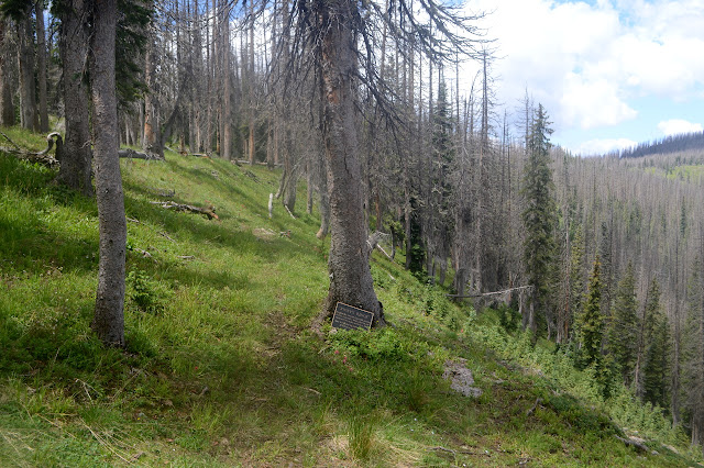

The trail continues on, keeping on the right flank of the mountain while I think I should be following the ridge. But it is so distinct and even has cuts through the logs, I keep on following it figuring it'll find a spot to climb. It seems to have other ideas as it starts to actually drop and veer even further from the ridge line. I almost try it anyway, but then there is a big tree with no obvious continuation on the far side to make it easy to abandon. I wind my way upward to the ridge line to find another trail that agrees with me a little better.


The trail takes me over not too many trees and with not too many uncertain points to the bottom of the last, steep push uphill to the top. It is open, so easy to just pick my way along whatever looks like the best next step. Somehow I am on trail again by the top.


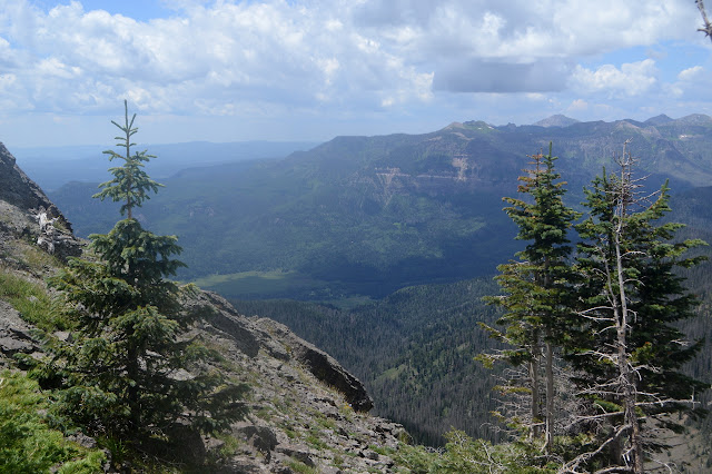
The mountain sticks out from the ridge line of the divide with just over 1000 feet of prominence, so there is a lot to look at from the top. (Prominence according to Peakbagger, but I think it might be more like 800 feet.)


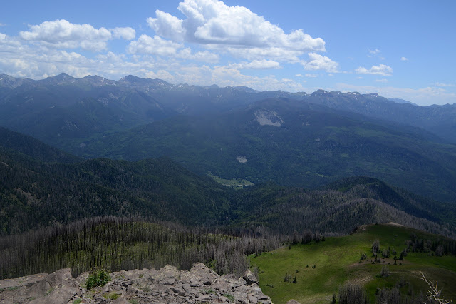

My trek back stays on the ridge and there seems to be trail the whole way, most of it findable when needed. This one also has cuts through the trees as though it was a proper trail. The weather was looking mildly threatening as I started and gets worse as I go.

I still can't find the trail as it connects with the road, but a little higher up it becomes clear as it winds upward. There are more clues of trail higher than where I found it. There are cut logs and a few blazes on dead trees with their bark falling off. It might just be possible for a very observant person who misses none of the markers to follow what is left of this trail without other help. Barely.

It starts to rain and I find myself climbing under the rumble of thunder. Great. As I arrive at the CDT, a group accuses me of getting off the beaten path. Ha! There's a sign right there! Trail! It even exists some of the time. They concrete the point and get back to hurrying toward the pass since they have no rain gear.

The never hard rain is already slacking. Had I been paying more attention, I might have gone over to tag Alberta Peak as well. It is basically flat all the way with a little up at the end and not much more than a mile. There are even some people coming down who seem to think this is the Alberta Peak Trail. I'm sure there's some AllTrails entry to blame for that. The Forest Service claims it doesn't even quite go up the peak.

It amuses me to see that the sign at the top, in its section on the trail, says that from here you can go out for a few hours or all day with examples. It specifically mentions "following Treasure Mountain Trail" as an all day adventure. All I can think is, good luck with that.
©2019 Valerie Norton
Written 2 Sep 2019
Liked this? Interesting? Click the three bars at the top left for the menu to read more or subscribe!


Comments